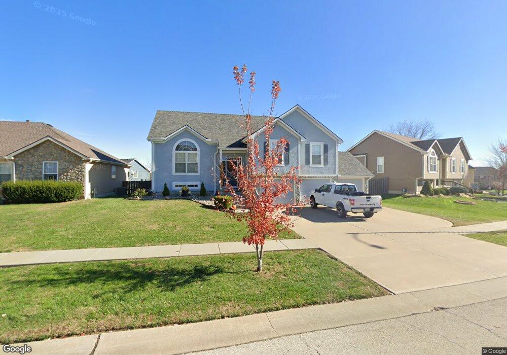
925 Southfork St Lansing, KS 66043
Estimated Value: $369,000 - $385,000
4
Beds
3
Baths
1,649
Sq Ft
$228/Sq Ft
Est. Value
About This Home
This home is located at 925 Southfork St, Lansing, KS 66043 and is currently estimated at $375,511, approximately $227 per square foot. 925 Southfork St is a home located in Leavenworth County with nearby schools including Lansing Elementary School, Lansing Middle 6-8, and Lansing High 9-12.
Ownership History
Date
Name
Owned For
Owner Type
Purchase Details
Closed on
Sep 1, 2005
Bought by
Miller Steven F and Miller Jacqueline A
Current Estimated Value
Home Financials for this Owner
Home Financials are based on the most recent Mortgage that was taken out on this home.
Original Mortgage
$58,500
Outstanding Balance
$34,278
Interest Rate
5.71%
Mortgage Type
New Conventional
Estimated Equity
$341,233
Create a Home Valuation Report for This Property
The Home Valuation Report is an in-depth analysis detailing your home's value as well as a comparison with similar homes in the area
Home Values in the Area
Average Home Value in this Area
Purchase History
| Date | Buyer | Sale Price | Title Company |
|---|---|---|---|
| Miller Steven F | $222,725 | -- |
Source: Public Records
Mortgage History
| Date | Status | Borrower | Loan Amount |
|---|---|---|---|
| Open | Miller Steven F | $58,500 |
Source: Public Records
Tax History Compared to Growth
Tax History
| Year | Tax Paid | Tax Assessment Tax Assessment Total Assessment is a certain percentage of the fair market value that is determined by local assessors to be the total taxable value of land and additions on the property. | Land | Improvement |
|---|---|---|---|---|
| 2025 | $5,223 | $40,323 | $5,441 | $34,882 |
| 2024 | $4,845 | $38,771 | $5,441 | $33,330 |
| 2023 | $4,845 | $37,280 | $5,441 | $31,839 |
| 2022 | $4,659 | $33,891 | $3,716 | $30,175 |
| 2021 | $4,549 | $31,579 | $3,716 | $27,863 |
| 2020 | $4,242 | $28,992 | $3,716 | $25,276 |
| 2019 | $4,118 | $28,118 | $3,716 | $24,402 |
| 2018 | $3,778 | $25,829 | $3,716 | $22,113 |
| 2017 | $3,457 | $23,613 | $3,716 | $19,897 |
| 2016 | $3,425 | $23,380 | $3,716 | $19,664 |
| 2015 | $3,568 | $24,415 | $3,716 | $20,699 |
| 2014 | $3,494 | $24,415 | $3,716 | $20,699 |
Source: Public Records
Map
Nearby Homes
- 922 Southfork St
- 811 4-H Rd
- 527 S Valley Dr
- 866 Clearview Dr
- 875 Clearview Dr
- 104 Olive St
- 1221 S Desoto Rd
- 1322 Rock Creek Ct
- 833 Rock Creek Dr
- 522 Forestglen Ln
- 202 S Main St
- 124 S Main St
- 546 Hithergreen Dr
- 218 E Kay St
- 20958 Ida St
- 521 Hillbrook Dr
- 306 E Kay St
- 13788 McIntyre1 Rd
- 13788 Mcintyre Rd
- 13788 McIntyre2 Rd
- 923 Southfork St
- 906 Allyssa Ct
- 921 Southfork St
- 929 Southfork St
- 904 Allyssa Ct
- 924 Southfork St
- 908 Allyssa Ct
- 926 Southfork St
- 920 Southfork St
- 931 Southfork St
- 928 Southfork St
- 403 Wyndham Dr
- 902 Allyssa Ct
- 930 Southfork St
- 405 Wyndham Dr
- 311 Wyndham Dr
- 932 Southfork St
- 927 Wyndham Dr
- 929 Wyndham Dr
- 407 Wyndham Dr