9250 Sod Rd Pine City, MN 55063
Estimated Value: $293,000 - $313,000
3
Beds
1
Bath
1,088
Sq Ft
$277/Sq Ft
Est. Value
About This Home
This home is located at 9250 Sod Rd, Pine City, MN 55063 and is currently estimated at $301,681, approximately $277 per square foot. 9250 Sod Rd is a home located in Pine County with nearby schools including Pine City Elementary School and Pine City Secondary School.
Ownership History
Date
Name
Owned For
Owner Type
Purchase Details
Closed on
Oct 31, 2019
Sold by
Edblad Isaac and Edblad Danika
Bought by
Edblad Isaac and Edblad Danika
Current Estimated Value
Purchase Details
Closed on
Oct 13, 2016
Sold by
Smith Jeffrey and Smith Lynette
Bought by
Edblad Isaac
Purchase Details
Closed on
Oct 31, 2008
Sold by
Kirch Linda
Bought by
Smith Lynette and Smith Jeffery
Home Financials for this Owner
Home Financials are based on the most recent Mortgage that was taken out on this home.
Original Mortgage
$35,000
Interest Rate
6.09%
Mortgage Type
Purchase Money Mortgage
Purchase Details
Closed on
Jul 24, 2006
Sold by
Miller Randy D and Miller Valerie A
Bought by
Kirch Tony and Kirch Linda
Home Financials for this Owner
Home Financials are based on the most recent Mortgage that was taken out on this home.
Original Mortgage
$83,000
Interest Rate
6.85%
Mortgage Type
New Conventional
Create a Home Valuation Report for This Property
The Home Valuation Report is an in-depth analysis detailing your home's value as well as a comparison with similar homes in the area
Home Values in the Area
Average Home Value in this Area
Purchase History
| Date | Buyer | Sale Price | Title Company |
|---|---|---|---|
| Edblad Isaac | -- | None Available | |
| Edblad Isaac | -- | None Available | |
| Smith Lynette | $134,000 | -- | |
| Kirch Tony | $149,900 | Burnet Title |
Source: Public Records
Mortgage History
| Date | Status | Borrower | Loan Amount |
|---|---|---|---|
| Previous Owner | Smith Lynette | $35,000 | |
| Previous Owner | Kirch Tony | $83,000 |
Source: Public Records
Tax History Compared to Growth
Tax History
| Year | Tax Paid | Tax Assessment Tax Assessment Total Assessment is a certain percentage of the fair market value that is determined by local assessors to be the total taxable value of land and additions on the property. | Land | Improvement |
|---|---|---|---|---|
| 2025 | $1,842 | $248,300 | $66,100 | $182,200 |
| 2024 | $1,942 | $252,700 | $55,800 | $196,900 |
| 2023 | $1,886 | $254,500 | $59,200 | $195,300 |
| 2022 | $1,962 | $221,700 | $48,600 | $173,100 |
| 2021 | $1,974 | $196,400 | $41,400 | $155,000 |
| 2020 | $1,690 | $187,700 | $37,500 | $150,200 |
| 2019 | $1,640 | $159,800 | $33,300 | $126,500 |
| 2018 | $1,574 | $151,800 | $28,400 | $123,400 |
| 2017 | $1,448 | $144,100 | $28,400 | $115,700 |
| 2016 | $1,692 | $136,900 | $30,400 | $106,500 |
| 2014 | $938 | $72,400 | $23,462 | $48,938 |
Source: Public Records
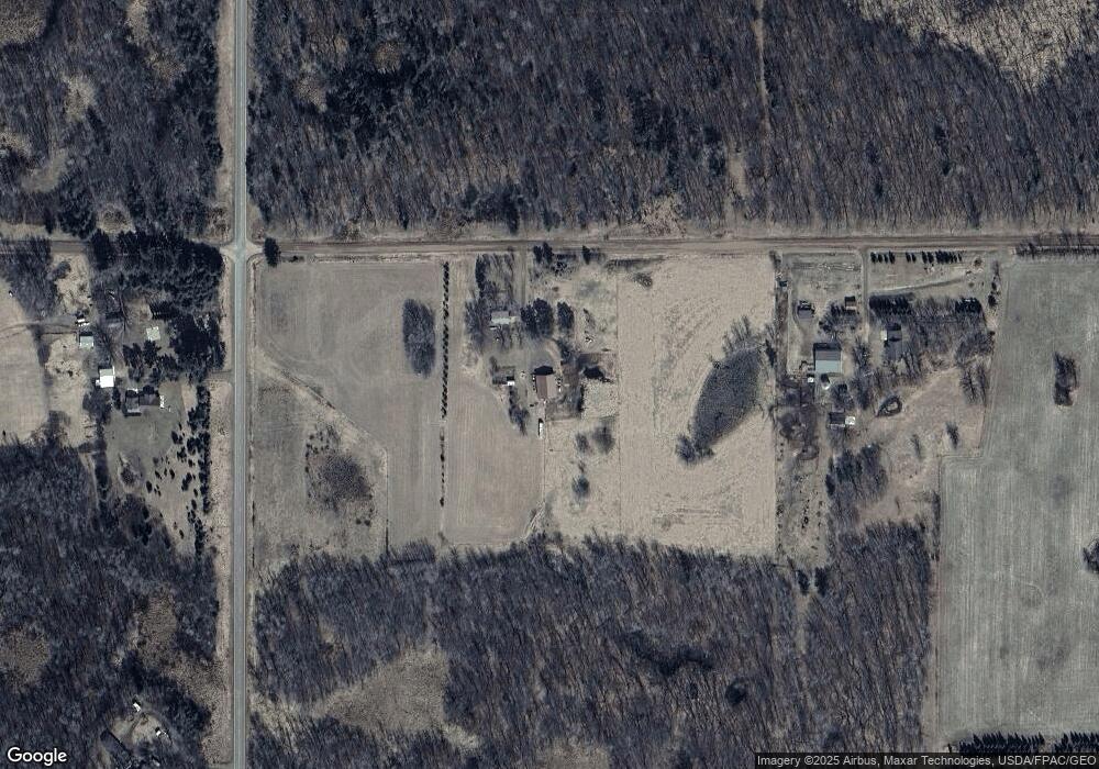
Map
Nearby Homes
- 19624 Brook Park Rd
- 24368 Brook Park Rd
- 11331 Lakeview Heights Rd
- 19314 Highwood Shores Rd
- 18974 Klondike Loop
- 9840 Audrey Gayle Dr
- 10049 Hook St
- 5803 Hawk Ridge Rd
- XXXXX White Oak Rd
- XX Pole Rd
- TBD Minnesota 107
- 16200 Auburn Rd
- 000 Maple Knoll Rd
- 9537 Birchview Rd
- 12796 Mallard Rd
- 000 Henriette Rd
- 0000 Henriette Rd
- TBD Minnesota 23
- 13021 Sunset Trail
- 000 Mid River Rd
- 9576 Sod Rd
- 21499 Brook Park Rd
- xx Brook Park Rd
- 21863 Brook Park Rd
- 22305 Brook Park Rd
- 22305 22305 Brook Park Rd
- xx Sod Rd
- 9371 Brook Dr
- 22491 Brook Park Rd
- 22491 Brook Park Rd
- 8589 Sod Rd
- 9081 Brook Dr
- 9330 Brook Dr
- 9084 Brook Dr
- 10129 Sod Rd
- XXX LOTC Brook Dr
- 9586 Brook Dr
- 22781 Brook Park Rd
- 8158 Sod Rd
- 8158 8158 Sod Rd