9258 Cherry Ln Laurel, MD 20708
South Laurel NeighborhoodEstimated Value: $227,000 - $289,000
Studio
--
Bath
1,016
Sq Ft
$263/Sq Ft
Est. Value
About This Home
This home is located at 9258 Cherry Ln, Laurel, MD 20708 and is currently estimated at $267,610, approximately $263 per square foot. 9258 Cherry Ln is a home located in Prince George's County with nearby schools including Oaklands Elementary School, Dwight D. Eisenhower Middle School, and Laurel High School.
Ownership History
Date
Name
Owned For
Owner Type
Purchase Details
Closed on
Jul 19, 2022
Sold by
Stanley Edward Franklin
Bought by
Edward Stanley Revocable Trust
Current Estimated Value
Purchase Details
Closed on
Dec 20, 2019
Sold by
Dawson Ursula F and Dawson Michael C
Bought by
Stanley Edward Franklin
Home Financials for this Owner
Home Financials are based on the most recent Mortgage that was taken out on this home.
Original Mortgage
$186,558
Interest Rate
3.75%
Mortgage Type
FHA
Purchase Details
Closed on
Aug 30, 2011
Sold by
Dawson Ursula F and Dawson Gregory C
Bought by
Dawson Gregory C and Dawson Patrick
Purchase Details
Closed on
May 1, 2006
Sold by
Furnari Charles P and Furnari Eileen T
Bought by
Dawson Ursula F and Unit 28
Purchase Details
Closed on
Oct 31, 1991
Sold by
Somerset Park Inc
Bought by
Furnari Charles P and Furnari Eileen T
Create a Home Valuation Report for This Property
The Home Valuation Report is an in-depth analysis detailing your home's value as well as a comparison with similar homes in the area
Home Values in the Area
Average Home Value in this Area
Purchase History
| Date | Buyer | Sale Price | Title Company |
|---|---|---|---|
| Edward Stanley Revocable Trust | -- | -- | |
| Stanley Edward Franklin | $190,000 | Mid Atlantic Setmnt Svcs Llc | |
| Dawson Gregory C | -- | None Available | |
| Dawson Ursula F | $197,000 | -- | |
| Furnari Charles P | $79,900 | -- |
Source: Public Records
Mortgage History
| Date | Status | Borrower | Loan Amount |
|---|---|---|---|
| Previous Owner | Stanley Edward Franklin | $186,558 |
Source: Public Records
Tax History
| Year | Tax Paid | Tax Assessment Tax Assessment Total Assessment is a certain percentage of the fair market value that is determined by local assessors to be the total taxable value of land and additions on the property. | Land | Improvement |
|---|---|---|---|---|
| 2025 | $2,980 | $192,500 | $57,700 | $134,800 |
| 2024 | $2,980 | $179,667 | -- | -- |
| 2023 | $2,866 | $166,833 | $0 | $0 |
| 2022 | $2,676 | $154,000 | $46,200 | $107,800 |
| 2021 | $2,557 | $146,000 | $0 | $0 |
| 2020 | $4,876 | $138,000 | $0 | $0 |
| 2019 | $1,862 | $130,000 | $39,000 | $91,000 |
| 2018 | $2,270 | $126,667 | $0 | $0 |
| 2017 | $2,171 | $123,333 | $0 | $0 |
| 2016 | -- | $120,000 | $0 | $0 |
| 2015 | $3,047 | $120,000 | $0 | $0 |
| 2014 | $3,047 | $120,000 | $0 | $0 |
Source: Public Records
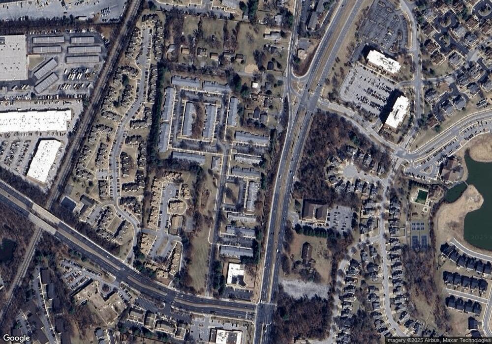
Map
Nearby Homes
- 9260 Cherry Ln Unit 34
- 9278 Cherry Ln Unit 91
- 9272 Cherry Ln Unit 75
- 14215 Summit Ln
- 9318 Player Dr
- 9432 Nicklaus Ln
- 14210 Greenview Dr
- 136 Green Branch Rd
- 1729 Mill Branch Dr
- 183 Lyons Creek Dr
- 137 Collington Place
- 6547 Clubhouse Dr
- 1766 Mill Branch Dr
- 0 Railroad Ave
- 1810 Mill Branch Dr
- 104 Irving St
- 8404 Holly St
- 13503 Briarwood Dr
- 1002 7th St
- 7907 Crows Nest Ct Unit 11
- 9258 Cherry Ln Unit 31
- 9258 Cherry Ln Unit 27
- 9258 Cherry Ln
- 9258 Cherry Ln Unit 26
- 9258 Cherry Ln Unit 30
- 9258 Cherry Ln Unit 28
- 9258 Cherry Ln Unit 29
- 9258 Cherry Ln Unit 2
- 9260 Cherry Ln Unit 3
- 9260 Cherry Ln
- 9260 Cherry Ln Unit 36
- 9260 Cherry Ln Unit 35
- 9260 Cherry Ln Unit 32
- 9260 Cherry Ln Unit 37
- 9260 Cherry Ln Unit 33
- 9256 Cherry Ln
- 9256 Cherry Ln Unit 25
- 9256 Cherry Ln Unit 23
- 9256 Cherry Ln Unit 24
- 9256 Cherry Ln Unit 21
Your Personal Tour Guide
Ask me questions while you tour the home.