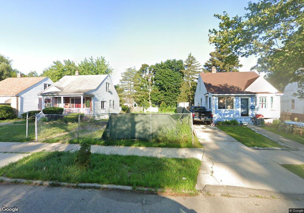
9259 Burt Rd Detroit, MI 48228
Franklin Park NeighborhoodEstimated Value: $67,000 - $186,000
Studio
1
Bath
1,080
Sq Ft
$103/Sq Ft
Est. Value
About This Home
This home is located at 9259 Burt Rd, Detroit, MI 48228 and is currently estimated at $111,667, approximately $103 per square foot. 9259 Burt Rd is a home located in Wayne County with nearby schools including Bates Academy, Charles L. Spain Elementary-Middle School, and Edward 'Duke' Ellington Conservatory of Music and Art.
Ownership History
Date
Name
Owned For
Owner Type
Purchase Details
Closed on
May 10, 2019
Sold by
The Detroit Land Bank Authority
Bought by
Maria Jose
Current Estimated Value
Purchase Details
Closed on
Jan 12, 2017
Sold by
Sabree Eric R
Bought by
Detroit Land Bank Authority
Purchase Details
Closed on
Jun 28, 2013
Sold by
Morris Robert
Bought by
Jackson Glenn C
Purchase Details
Closed on
Dec 27, 2012
Sold by
The Bank Of New York Mellon
Bought by
Morris Robert
Purchase Details
Closed on
Feb 9, 2012
Sold by
Jackson Glenn C
Bought by
The Bank Of New York Mellon and The Bank Of New York
Create a Home Valuation Report for This Property
The Home Valuation Report is an in-depth analysis detailing your home's value as well as a comparison with similar homes in the area
Home Values in the Area
Average Home Value in this Area
Purchase History
| Date | Buyer | Sale Price | Title Company |
|---|---|---|---|
| Maria Jose | -- | None Available | |
| Detroit Land Bank Authority | -- | None Available | |
| Jackson Glenn C | -- | None Available | |
| Morris Robert | $3,100 | Bay National Title Co | |
| The Bank Of New York Mellon | $52,339 | None Available |
Source: Public Records
Tax History
| Year | Tax Paid | Tax Assessment Tax Assessment Total Assessment is a certain percentage of the fair market value that is determined by local assessors to be the total taxable value of land and additions on the property. | Land | Improvement |
|---|---|---|---|---|
| 2025 | $23 | $1,100 | $0 | $0 |
| 2024 | $23 | $300 | $0 | $0 |
| 2023 | $23 | $300 | $0 | $0 |
| 2022 | $26 | $300 | $0 | $0 |
| 2021 | $26 | $300 | $0 | $0 |
| 2020 | $26 | $0 | $0 | $0 |
| 2019 | $1,207 | $0 | $0 | $0 |
| 2018 | $0 | $11,000 | $0 | $0 |
| 2017 | $136 | $10,400 | $0 | $0 |
| 2016 | $1,259 | $14,200 | $0 | $0 |
| 2015 | $1,420 | $14,200 | $0 | $0 |
| 2013 | $1,705 | $19,911 | $0 | $0 |
| 2010 | -- | $28,528 | $779 | $27,749 |
Source: Public Records
Map
Nearby Homes
Your Personal Tour Guide
Ask me questions while you tour the home.