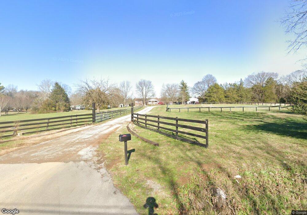
926 J D Todd Rd Murfreesboro, TN 37129
Estimated Value: $435,000 - $513,704
Studio
2
Baths
2,100
Sq Ft
$219/Sq Ft
Est. Value
About This Home
This home is located at 926 J D Todd Rd, Murfreesboro, TN 37129 and is currently estimated at $459,426, approximately $218 per square foot. 926 J D Todd Rd is a home located in Rutherford County with nearby schools including Wilson Elementary School, Siegel Middle School, and Siegel High School.
Ownership History
Date
Name
Owned For
Owner Type
Purchase Details
Closed on
Oct 12, 2020
Sold by
Cook John T
Bought by
Smith James Dexter and Smith Tammy Lynn
Current Estimated Value
Home Financials for this Owner
Home Financials are based on the most recent Mortgage that was taken out on this home.
Original Mortgage
$145,965
Interest Rate
2.9%
Mortgage Type
Commercial
Purchase Details
Closed on
Dec 10, 2007
Sold by
Dodson Thomas E
Bought by
Cook John T
Home Financials for this Owner
Home Financials are based on the most recent Mortgage that was taken out on this home.
Original Mortgage
$112,989
Interest Rate
6.22%
Purchase Details
Closed on
Apr 19, 2000
Sold by
Lee Corter William
Bought by
Dodson Thomas E and Dodson Faithe O
Create a Home Valuation Report for This Property
The Home Valuation Report is an in-depth analysis detailing your home's value as well as a comparison with similar homes in the area
Home Values in the Area
Average Home Value in this Area
Purchase History
| Date | Buyer | Sale Price | Title Company |
|---|---|---|---|
| Smith James Dexter | $145,200 | Attorneys Title Co Inc | |
| Cook John T | $140,000 | -- | |
| Dodson Thomas E | $160,000 | -- |
Source: Public Records
Mortgage History
| Date | Status | Borrower | Loan Amount |
|---|---|---|---|
| Closed | Smith James Dexter | $145,965 | |
| Previous Owner | Dodson Thomas E | $112,989 |
Source: Public Records
Tax History
| Year | Tax Paid | Tax Assessment Tax Assessment Total Assessment is a certain percentage of the fair market value that is determined by local assessors to be the total taxable value of land and additions on the property. | Land | Improvement |
|---|---|---|---|---|
| 2025 | $2,256 | $120,225 | $32,675 | $87,550 |
| 2024 | $2,256 | $120,225 | $32,675 | $87,550 |
| 2023 | $2,071 | $110,375 | $32,675 | $77,700 |
| 2022 | $1,784 | $110,375 | $32,675 | $77,700 |
| 2021 | $1,331 | $59,975 | $14,850 | $45,125 |
| 2020 | $1,331 | $59,975 | $14,850 | $45,125 |
| 2019 | $1,331 | $59,975 | $14,850 | $45,125 |
Source: Public Records
Map
Nearby Homes
- 124 Breeze Dr
- 1004 Fall Pkwy
- 1413 Fall Pkwy
- 1209 Fall Pkwy
- 1305 Fall Pkwy
- 418 Slippery Rock Dr
- 1105 Blackjack Way
- 1143 Bluecreek Cir
- 707 Crooked Creek
- 1301 Rivercrest
- 1135 Bluecreek Cir
- 1125 Bluecreek Cir
- 625 Crooked Creek
- 1118 Bluecreek Cir
- 1119 Bluecreek Cir
- 1130 Spring Creek Dr
- 1110 Bluecreek Cir
- 1107 Bluecreek Cir
- 704 Silverhill Dr
- 1200 White Rock Rd
Your Personal Tour Guide
Ask me questions while you tour the home.