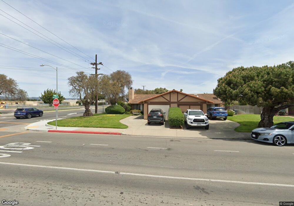
926 N O St Lompoc, CA 93436
Estimated Value: $370,000 - $414,000
3
Beds
2
Baths
1,008
Sq Ft
$384/Sq Ft
Est. Value
About This Home
This home is located at 926 N O St, Lompoc, CA 93436 and is currently estimated at $386,622, approximately $383 per square foot. 926 N O St is a home located in Santa Barbara County with nearby schools including La Canada Elementary School, Lompoc Valley Middle School, and Lompoc High School.
Ownership History
Date
Name
Owned For
Owner Type
Purchase Details
Closed on
Sep 8, 2025
Sold by
Connie Lee Beaman Trust and Beaman Michael Ryan
Bought by
Beaman David John
Current Estimated Value
Purchase Details
Closed on
Nov 10, 2017
Sold by
Beaman Connie
Bought by
Beaman Connie Lee
Purchase Details
Closed on
Jun 14, 2016
Sold by
Beaman Connie and Preston Larry
Bought by
Beaman Connie
Purchase Details
Closed on
Oct 9, 2013
Sold by
Beaman Connie and Preston Larry
Bought by
Beaman Connie and Preston Larry
Purchase Details
Closed on
May 14, 1996
Sold by
Preston Ernest and Preston Lois M
Bought by
Preston Ernest and Preston Lois M
Create a Home Valuation Report for This Property
The Home Valuation Report is an in-depth analysis detailing your home's value as well as a comparison with similar homes in the area
Home Values in the Area
Average Home Value in this Area
Purchase History
| Date | Buyer | Sale Price | Title Company |
|---|---|---|---|
| Beaman David John | -- | None Listed On Document | |
| Beaman Connie Lee | -- | None Available | |
| Beaman Connie | -- | None Available | |
| Beaman Connie | -- | None Available | |
| Preston Ernest | -- | -- |
Source: Public Records
Tax History
| Year | Tax Paid | Tax Assessment Tax Assessment Total Assessment is a certain percentage of the fair market value that is determined by local assessors to be the total taxable value of land and additions on the property. | Land | Improvement |
|---|---|---|---|---|
| 2025 | $1,078 | $96,855 | $24,222 | $72,633 |
| 2023 | $1,078 | $93,096 | $23,283 | $69,813 |
| 2022 | $1,059 | $91,272 | $22,827 | $68,445 |
| 2021 | $1,069 | $89,483 | $22,380 | $67,103 |
| 2020 | $1,058 | $88,566 | $22,151 | $66,415 |
| 2019 | $1,040 | $86,830 | $21,717 | $65,113 |
| 2018 | $1,024 | $85,129 | $21,292 | $63,837 |
| 2017 | $1,005 | $83,461 | $20,875 | $62,586 |
| 2016 | $987 | $81,825 | $20,466 | $61,359 |
| 2014 | $966 | $79,020 | $19,765 | $59,255 |
Source: Public Records
Map
Nearby Homes
- 1012 W Anthony Way
- 321 W North Ave Unit 133
- 1212 Timothy Ct
- 526 N L St
- 1344 Village Meadows Dr
- 933 Bellflower Ln
- 510 N I St
- 516 N U St
- 1416 Glen Ellen Ln
- 533 N G St
- 1407 N H St
- 100 California 1
- 420 N W St
- 600 N Y St
- 217 N M St
- 1011 W Walnut Ave
- 230 N R St
- 267 Village Circle Dr
- 1103 Point Sal Loop
- 610 E Pine Ave Unit 10
Your Personal Tour Guide
Ask me questions while you tour the home.