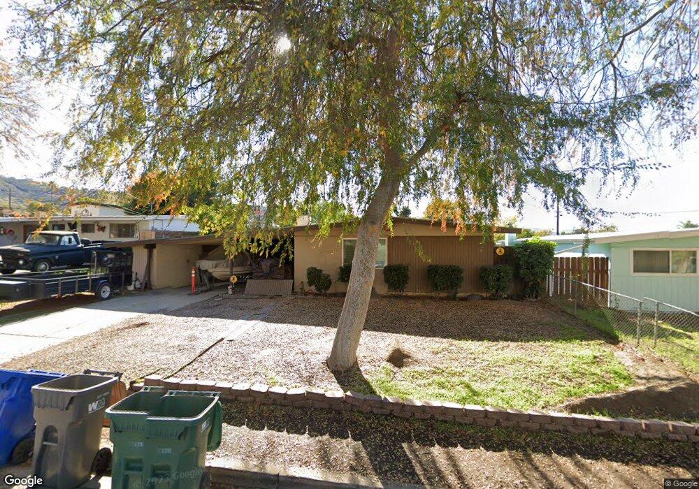
9264 Northcote Rd Santee, CA 92071
Estimated Value: $698,000 - $762,000
3
Beds
2
Baths
1,294
Sq Ft
$563/Sq Ft
Est. Value
About This Home
This home is located at 9264 Northcote Rd, Santee, CA 92071 and is currently estimated at $728,157, approximately $562 per square foot. 9264 Northcote Rd is a home located in San Diego County with nearby schools including Pepper Drive Elementary School, Santana High School, and River Valley Charter School.
Ownership History
Date
Name
Owned For
Owner Type
Purchase Details
Closed on
Nov 18, 2024
Sold by
Davis Timothy C and Davis Deborah L
Bought by
Timothy And Deborah Davis Family Trust and Davis
Current Estimated Value
Purchase Details
Closed on
Nov 22, 1999
Sold by
Finn Walter D and Finn Stephanie M
Bought by
Davis Timothy C and Davis Deborah L
Home Financials for this Owner
Home Financials are based on the most recent Mortgage that was taken out on this home.
Original Mortgage
$145,800
Interest Rate
7.96%
Purchase Details
Closed on
Jul 28, 1994
Sold by
Heacock Roxanne and Krtek Roxanne
Bought by
Finn Walter Donald and Finn Stephanie Marie
Home Financials for this Owner
Home Financials are based on the most recent Mortgage that was taken out on this home.
Original Mortgage
$131,100
Interest Rate
8.8%
Create a Home Valuation Report for This Property
The Home Valuation Report is an in-depth analysis detailing your home's value as well as a comparison with similar homes in the area
Purchase History
| Date | Buyer | Sale Price | Title Company |
|---|---|---|---|
| Timothy And Deborah Davis Family Trust | -- | None Listed On Document | |
| Timothy And Deborah Davis Family Trust | -- | None Listed On Document | |
| Davis Timothy C | $162,000 | First American Title | |
| Finn Walter Donald | $138,000 | Fidelity National Title Ins |
Source: Public Records
Mortgage History
| Date | Status | Borrower | Loan Amount |
|---|---|---|---|
| Previous Owner | Davis Timothy C | $145,800 | |
| Previous Owner | Finn Walter Donald | $131,100 |
Source: Public Records
Tax History
| Year | Tax Paid | Tax Assessment Tax Assessment Total Assessment is a certain percentage of the fair market value that is determined by local assessors to be the total taxable value of land and additions on the property. | Land | Improvement |
|---|---|---|---|---|
| 2025 | $2,964 | $248,964 | $93,943 | $155,021 |
| 2024 | $2,964 | $244,083 | $92,101 | $151,982 |
| 2023 | $2,872 | $239,298 | $90,296 | $149,002 |
| 2022 | $2,847 | $234,607 | $88,526 | $146,081 |
| 2021 | $2,806 | $230,008 | $86,791 | $143,217 |
| 2020 | $2,771 | $227,651 | $85,902 | $141,749 |
| 2019 | $2,674 | $223,188 | $84,218 | $138,970 |
| 2018 | $2,618 | $218,813 | $82,567 | $136,246 |
| 2017 | $160 | $214,524 | $80,949 | $133,575 |
| 2016 | $2,503 | $210,318 | $79,362 | $130,956 |
| 2015 | $2,469 | $207,159 | $78,170 | $128,989 |
| 2014 | $2,419 | $203,102 | $76,639 | $126,463 |
Source: Public Records
Map
Nearby Homes
- 9241 Bloomdale St
- 11038 Larkridge St
- 1018 Iron Wheel St
- 11529 Woodside Ave
- 1507 Calabria St
- 10794 Jeanne Terrace Unit E
- 10794 Jeanne Terrace Unit D
- 9255 N Magnolia Ave Unit 339
- 10664 Cobble Ct
- 2003 Montilla St
- 10671 Braverman Dr
- 10660 Braverman Dr
- 10945 Grand Fork Dr
- 10727 Holly Meadows Dr
- 5276 Bella Vista St
- 9070 Paradise Park Dr
- 11034 Brookfield Ct
- 9103 Paradise Park Dr
- 9420 Emerald Grove Ave
- 10174 Riverhill Ln
- 9258 Northcote Rd
- 9270 Northcote Rd
- 9263 Heatherdale St
- 9269 Heatherdale St
- 9257 Heatherdale St
- 581 Lantern Crest Way
- 9252 Northcote Rd
- 11201 Via Madonna
- 9251 Heatherdale St
- 11202 Via Teresa
- 11204 Via Teresa
- 11203 Via Madonna
- 9246 Northcote Rd
- 11206 Via Teresa
- 11205 Via Madonna
- 9245 Heatherdale St
- 11140 Meadow Terrace Dr
- 11207 Via Madonna
- 11146 Meadow Terrace Dr
- 9240 Via Anita
Your Personal Tour Guide
Ask me questions while you tour the home.