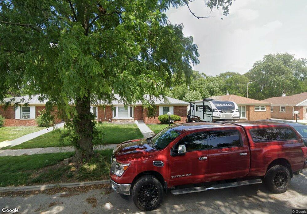
9269 S Burnside Ave Chicago, IL 60619
Roseland NeighborhoodEstimated Value: $156,000 - $199,000
3
Beds
1
Bath
1,121
Sq Ft
$155/Sq Ft
Est. Value
About This Home
This home is located at 9269 S Burnside Ave, Chicago, IL 60619 and is currently estimated at $173,396, approximately $154 per square foot. 9269 S Burnside Ave is a home located in Cook County with nearby schools including Gillespie Elementary School, Harlan Community Academy High School, and Christian S T E M Scholars.
Ownership History
Date
Name
Owned For
Owner Type
Purchase Details
Closed on
Jan 29, 2007
Sold by
Alexander Mary L and Alexander Bennie L
Bought by
Smith Derrick
Current Estimated Value
Home Financials for this Owner
Home Financials are based on the most recent Mortgage that was taken out on this home.
Original Mortgage
$100,800
Outstanding Balance
$66,912
Interest Rate
8.2%
Mortgage Type
Unknown
Estimated Equity
$106,484
Purchase Details
Closed on
Feb 6, 2001
Sold by
Williams Kenneth A
Bought by
Rucker Sheila
Home Financials for this Owner
Home Financials are based on the most recent Mortgage that was taken out on this home.
Original Mortgage
$85,000
Interest Rate
11.75%
Purchase Details
Closed on
Jun 7, 1994
Sold by
Ward Esther M
Bought by
Alexander Mary L and Alexander Bennie L
Home Financials for this Owner
Home Financials are based on the most recent Mortgage that was taken out on this home.
Original Mortgage
$65,950
Interest Rate
8.66%
Mortgage Type
FHA
Create a Home Valuation Report for This Property
The Home Valuation Report is an in-depth analysis detailing your home's value as well as a comparison with similar homes in the area
Home Values in the Area
Average Home Value in this Area
Purchase History
| Date | Buyer | Sale Price | Title Company |
|---|---|---|---|
| Smith Derrick | $126,000 | Multiple | |
| Rucker Sheila | $100,000 | First American Title | |
| Alexander Mary L | $66,000 | -- |
Source: Public Records
Mortgage History
| Date | Status | Borrower | Loan Amount |
|---|---|---|---|
| Open | Smith Derrick | $100,800 | |
| Previous Owner | Rucker Sheila | $85,000 | |
| Previous Owner | Alexander Mary L | $65,950 |
Source: Public Records
Tax History Compared to Growth
Tax History
| Year | Tax Paid | Tax Assessment Tax Assessment Total Assessment is a certain percentage of the fair market value that is determined by local assessors to be the total taxable value of land and additions on the property. | Land | Improvement |
|---|---|---|---|---|
| 2024 | $988 | $13,000 | $6,497 | $6,503 |
| 2023 | $942 | $8,000 | $6,345 | $1,655 |
| 2022 | $942 | $8,000 | $6,345 | $1,655 |
| 2021 | $939 | $8,000 | $6,345 | $1,655 |
| 2020 | $1,721 | $10,828 | $5,076 | $5,752 |
| 2019 | $1,702 | $11,899 | $5,076 | $6,823 |
| 2018 | $1,672 | $11,899 | $5,076 | $6,823 |
| 2017 | $2,414 | $14,590 | $4,441 | $10,149 |
| 2016 | $2,422 | $14,590 | $4,441 | $10,149 |
| 2015 | $2,193 | $14,590 | $4,441 | $10,149 |
| 2014 | $1,727 | $11,876 | $3,807 | $8,069 |
| 2013 | $1,682 | $11,876 | $3,807 | $8,069 |
Source: Public Records
Map
Nearby Homes
- 9302 S Eberhart Ave
- 9300 S Vernon Ave
- 9220 S King Dr
- 9326 S King Dr
- 605 E 92nd Place
- 9425 S Vernon Ave
- 9311 S Burnside Ave
- 543 E 91st Place
- 627 E 92nd Place
- 9400 S Calumet Ave
- 521 E 91st St
- 9418 S Champlain Ave
- 549 E 91st St
- 9422 S Calumet Ave
- 254 E 92nd St Unit 1
- 9150 S Burnside Ave
- 237 E 92nd St
- 9456 S Calumet Ave
- 9413 S Prairie Ave
- 715 E 91st Place
- 9273 S Burnside Ave
- 9265 S Burnside Ave
- 9279 S Burnside Ave
- 9261 S Burnside Ave
- 9283 S Burnside Ave
- 9257 South Park
- 9257 S Burnside Ave
- 9287 S Burnside Ave
- 9253 S Burnside Ave
- 9254 S Burnside Ave
- 438 E 93rd St
- 436 E 93rd St
- 9264 S Burnside Ave
- 9264 S Burnside Ave
- 444 E 93rd St
- 9249 S Burnside Ave
- 9291 S Burnside Ave
- 9260 S Burnside Ave
- 9258 S Burnside Ave
- 9259 S Burnside Ave