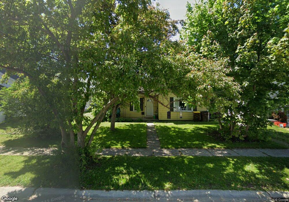
927 Asa St Defiance, OH 43512
Estimated Value: $77,000 - $106,000
2
Beds
1
Bath
1,193
Sq Ft
$78/Sq Ft
Est. Value
About This Home
This home is located at 927 Asa St, Defiance, OH 43512 and is currently estimated at $92,985, approximately $77 per square foot. 927 Asa St is a home located in Defiance County with nearby schools including Defiance Elementary School, Defiance Middle School, and Defiance High School.
Ownership History
Date
Name
Owned For
Owner Type
Purchase Details
Closed on
Mar 23, 2007
Sold by
Kable Derrow Properties Llc
Bought by
Adkins Arnold and Adkins Annemarie
Current Estimated Value
Home Financials for this Owner
Home Financials are based on the most recent Mortgage that was taken out on this home.
Original Mortgage
$56,000
Outstanding Balance
$33,877
Interest Rate
6.25%
Mortgage Type
New Conventional
Estimated Equity
$59,108
Purchase Details
Closed on
Oct 6, 2006
Sold by
Meade Ralph C and Meade Dianne S
Bought by
Kable Derrow Properties Llc
Purchase Details
Closed on
Feb 12, 1999
Bought by
Adkins Arnold and Adkins Annemarie
Create a Home Valuation Report for This Property
The Home Valuation Report is an in-depth analysis detailing your home's value as well as a comparison with similar homes in the area
Home Values in the Area
Average Home Value in this Area
Purchase History
| Date | Buyer | Sale Price | Title Company |
|---|---|---|---|
| Adkins Arnold | $42,000 | -- | |
| Kable Derrow Properties Llc | $29,000 | -- | |
| Adkins Arnold | $34,900 | -- |
Source: Public Records
Mortgage History
| Date | Status | Borrower | Loan Amount |
|---|---|---|---|
| Open | Adkins Arnold | $56,000 |
Source: Public Records
Tax History Compared to Growth
Tax History
| Year | Tax Paid | Tax Assessment Tax Assessment Total Assessment is a certain percentage of the fair market value that is determined by local assessors to be the total taxable value of land and additions on the property. | Land | Improvement |
|---|---|---|---|---|
| 2024 | $865 | $23,030 | $2,910 | $20,120 |
| 2023 | $865 | $23,030 | $2,910 | $20,120 |
| 2022 | $779 | $18,530 | $2,910 | $15,620 |
| 2021 | $779 | $18,530 | $2,910 | $15,620 |
| 2020 | $785 | $18,530 | $2,910 | $15,620 |
| 2019 | $648 | $14,960 | $2,910 | $12,050 |
| 2018 | $630 | $14,960 | $2,910 | $12,050 |
| 2017 | $622 | $14,963 | $2,912 | $12,051 |
| 2016 | $540 | $12,610 | $2,803 | $9,807 |
| 2015 | $260 | $12,610 | $2,803 | $9,807 |
| 2014 | $260 | $12,610 | $2,803 | $9,807 |
| 2013 | $260 | $12,610 | $2,803 | $9,807 |
| 2012 | $260 | $12,611 | $2,804 | $9,807 |
Source: Public Records
Map
Nearby Homes
- 1003 Davidson St
- 0 Baltimore St
- 708 Stratton Ave
- 1001 Schultz St
- 724 Thurston St
- 935 Latty St
- 643 S Clinton St
- 336 Holgate Ave
- 00 Widmer St
- 709 Wayne Ave
- 8627 Ohio 66
- 0 Ohio 66
- 202 Wilson St
- 14631 Ohio 15
- 13944 Ohio 15
- 383 Maumee River Crossing
- 605 Riverside Ave
- 0 Maumee River Crossing
- 321 Harding St
- 518 Fugate Dr