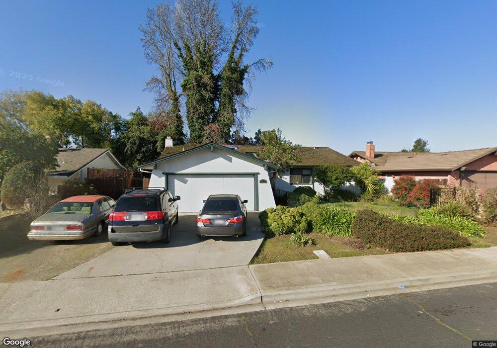
927 S Mills Ave Lodi, CA 95242
Sunwest NeighborhoodEstimated Value: $384,000 - $484,000
4
Beds
2
Baths
1,499
Sq Ft
$302/Sq Ft
Est. Value
About This Home
This home is located at 927 S Mills Ave, Lodi, CA 95242 and is currently estimated at $452,227, approximately $301 per square foot. 927 S Mills Ave is a home located in San Joaquin County with nearby schools including Vinewood Elementary School, Lodi Middle School, and Tokay High School.
Ownership History
Date
Name
Owned For
Owner Type
Purchase Details
Closed on
Jun 2, 1999
Sold by
Treude Garth C
Bought by
Serrano Kenneth W and Serrano Nicole
Current Estimated Value
Home Financials for this Owner
Home Financials are based on the most recent Mortgage that was taken out on this home.
Original Mortgage
$145,758
Outstanding Balance
$37,966
Interest Rate
6.9%
Mortgage Type
VA
Estimated Equity
$414,261
Create a Home Valuation Report for This Property
The Home Valuation Report is an in-depth analysis detailing your home's value as well as a comparison with similar homes in the area
Home Values in the Area
Average Home Value in this Area
Purchase History
| Date | Buyer | Sale Price | Title Company |
|---|---|---|---|
| Serrano Kenneth W | $142,909 | Alliance Title Company |
Source: Public Records
Mortgage History
| Date | Status | Borrower | Loan Amount |
|---|---|---|---|
| Open | Serrano Kenneth W | $145,758 |
Source: Public Records
Tax History Compared to Growth
Tax History
| Year | Tax Paid | Tax Assessment Tax Assessment Total Assessment is a certain percentage of the fair market value that is determined by local assessors to be the total taxable value of land and additions on the property. | Land | Improvement |
|---|---|---|---|---|
| 2025 | $2,362 | $224,008 | $86,216 | $137,792 |
| 2024 | $2,296 | $219,617 | $84,526 | $135,091 |
| 2023 | $2,268 | $215,312 | $82,869 | $132,443 |
| 2022 | $2,216 | $211,092 | $81,245 | $129,847 |
| 2021 | $2,254 | $206,953 | $79,652 | $127,301 |
| 2020 | $2,195 | $204,832 | $78,836 | $125,996 |
| 2019 | $2,150 | $200,817 | $77,291 | $123,526 |
| 2018 | $2,118 | $196,880 | $75,776 | $121,104 |
| 2017 | $2,070 | $193,021 | $74,291 | $118,730 |
| 2016 | $1,939 | $189,236 | $72,834 | $116,402 |
| 2014 | $1,891 | $182,743 | $70,335 | $112,408 |
Source: Public Records
Map
Nearby Homes
- 2025 W Vine St
- 1037 Vienna Dr
- 1106 Stafford St
- 900 Virginia Ave
- 23201 N Ray Rd
- 1202 Millsbridge Place
- 835 Kramer Dr
- 872 Westwind Dr
- 2350 Saint Anton Dr
- 800 Cheney Ct
- 2362 Interlaken Ct
- 2115 W Kettleman Ln
- 2410 Brittany Ct
- 2386 Interlaken Ct
- 2432 W Vine St
- 306 Shady Acres Dr
- 1347 Maravich Ln
- 2438 W Tokay St
- 1536 Timberlake Cir
- 380 S Sunset Dr
- 921 S Mills Ave
- 933 S Mills Ave
- 915 S Mills Ave
- 939 S Mills Ave
- 932 S Mills Ave
- 907 S Mills Ave
- 912 Evert Ct
- 918 Evert Ct
- 1001 S Mills Ave
- 1915 Avalon Ave
- 906 Evert Ct
- 2000 W Vine St
- 1007 S Mills Ave
- 2013 Tyler Way
- 1920 Avalon Ave
- 1008 Vienna Dr
- 1907 Avalon Ave
- 900 Evert Ct
- 921 Evert Ct
- 1022 Vienna Dr