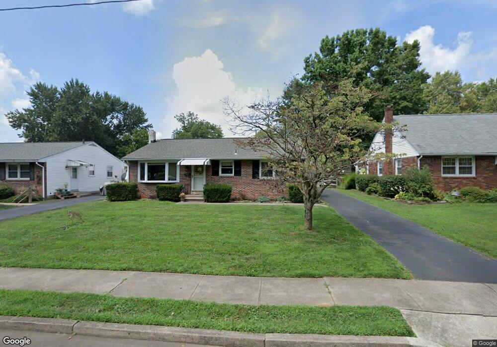
927 Warren St Pottstown, PA 19464
North End NeighborhoodEstimated Value: $202,000 - $296,679
3
Beds
2
Baths
1,271
Sq Ft
$213/Sq Ft
Est. Value
About This Home
This home is located at 927 Warren St, Pottstown, PA 19464 and is currently estimated at $270,420, approximately $212 per square foot. 927 Warren St is a home located in Montgomery County with nearby schools including Pottstown Middle School, Pottstown Senior High School, and Saint Aloysius Parish School.
Ownership History
Date
Name
Owned For
Owner Type
Purchase Details
Closed on
Nov 3, 2021
Sold by
Stone James M
Bought by
Mccullough John R
Current Estimated Value
Purchase Details
Closed on
Sep 25, 2020
Sold by
Mccullough John R and Stone James M
Bought by
Stone James M
Purchase Details
Closed on
Jan 16, 2017
Sold by
Fannie Mae
Bought by
Mccullough John Raymond and Stone James M
Purchase Details
Closed on
Jul 27, 2016
Sold by
Sheriff Of Montgomery County
Bought by
Federal National Mortgage Association
Purchase Details
Closed on
Nov 26, 2003
Sold by
Woodley Donald E and Nabozny Marie E
Bought by
Miller Dennis E and Miller Carol A
Home Financials for this Owner
Home Financials are based on the most recent Mortgage that was taken out on this home.
Original Mortgage
$109,250
Interest Rate
5.9%
Create a Home Valuation Report for This Property
The Home Valuation Report is an in-depth analysis detailing your home's value as well as a comparison with similar homes in the area
Home Values in the Area
Average Home Value in this Area
Purchase History
| Date | Buyer | Sale Price | Title Company |
|---|---|---|---|
| Mccullough John R | -- | None Available | |
| Stone James M | -- | None Available | |
| Mccullough John Raymond | $115,000 | Trident Land Transfer | |
| Federal National Mortgage Association | $1,902 | None Available | |
| Miller Dennis E | $115,000 | -- |
Source: Public Records
Mortgage History
| Date | Status | Borrower | Loan Amount |
|---|---|---|---|
| Previous Owner | Miller Dennis E | $109,250 | |
| Closed | Federal National Mortgage Association | $0 |
Source: Public Records
Tax History Compared to Growth
Tax History
| Year | Tax Paid | Tax Assessment Tax Assessment Total Assessment is a certain percentage of the fair market value that is determined by local assessors to be the total taxable value of land and additions on the property. | Land | Improvement |
|---|---|---|---|---|
| 2025 | $5,418 | $88,290 | $37,870 | $50,420 |
| 2024 | $5,418 | $88,290 | $37,870 | $50,420 |
| 2023 | $5,344 | $88,290 | $37,870 | $50,420 |
| 2022 | $5,317 | $88,290 | $37,870 | $50,420 |
| 2021 | $5,256 | $88,290 | $37,870 | $50,420 |
| 2020 | $5,164 | $88,290 | $37,870 | $50,420 |
| 2019 | $5,046 | $88,290 | $37,870 | $50,420 |
| 2018 | $3,587 | $88,290 | $37,870 | $50,420 |
| 2017 | $4,718 | $88,290 | $37,870 | $50,420 |
| 2016 | $4,684 | $88,290 | $37,870 | $50,420 |
| 2015 | $4,681 | $88,290 | $37,870 | $50,420 |
| 2014 | $4,654 | $88,290 | $37,870 | $50,420 |
Source: Public Records
Map
Nearby Homes
- 903 Hale St
- 820 N Franklin St
- 1106 N Franklin St
- 812 N Evans St
- 840 N Charlotte St
- 279 Prospect St
- 1215 N Franklin St
- 794 Spruce St
- 792 Spruce St
- 792-794 Spruce St
- 1026 Elmwood Dr
- 828 Brookside Rd
- 662 Spruce St
- 661 N Keim St
- 742 N Hanover St
- 258 Glendale Ave
- 526 N Charlotte St
- 474 N Franklin St
- 648 Lincoln Ave
- 570 Jefferson Ave