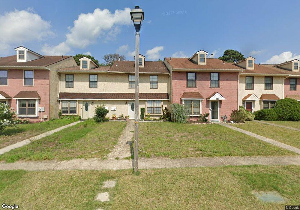
928 Grant St Mays Landing, NJ 08330
Estimated Value: $187,000 - $302,000
3
Beds
3
Baths
1,408
Sq Ft
$171/Sq Ft
Est. Value
About This Home
This home is located at 928 Grant St, Mays Landing, NJ 08330 and is currently estimated at $240,471, approximately $170 per square foot. 928 Grant St is a home located in Atlantic County with nearby schools including Weymouth Twp Elementary School, St. Vincent de Paul Regional School, and Mays Landing Baptist Academy.
Ownership History
Date
Name
Owned For
Owner Type
Purchase Details
Closed on
Oct 29, 2009
Sold by
Yeager Regina
Bought by
Molley Khira N
Current Estimated Value
Home Financials for this Owner
Home Financials are based on the most recent Mortgage that was taken out on this home.
Original Mortgage
$115,000
Outstanding Balance
$75,320
Interest Rate
5.06%
Mortgage Type
New Conventional
Estimated Equity
$165,151
Purchase Details
Closed on
Sep 10, 2004
Sold by
Yeager William E and Yeager Regina
Bought by
Yeager Regina
Purchase Details
Closed on
Oct 17, 2001
Sold by
Franchi Gerald and Franchi Barbara L
Bought by
Yeager William E and Yeager Regina
Home Financials for this Owner
Home Financials are based on the most recent Mortgage that was taken out on this home.
Original Mortgage
$63,360
Interest Rate
6.7%
Create a Home Valuation Report for This Property
The Home Valuation Report is an in-depth analysis detailing your home's value as well as a comparison with similar homes in the area
Home Values in the Area
Average Home Value in this Area
Purchase History
| Date | Buyer | Sale Price | Title Company |
|---|---|---|---|
| Molley Khira N | $115,000 | Foundation Title | |
| Yeager Regina | -- | None Available | |
| Yeager William E | $70,400 | -- |
Source: Public Records
Mortgage History
| Date | Status | Borrower | Loan Amount |
|---|---|---|---|
| Open | Molley Khira N | $115,000 | |
| Previous Owner | Yeager William E | $63,360 |
Source: Public Records
Tax History Compared to Growth
Tax History
| Year | Tax Paid | Tax Assessment Tax Assessment Total Assessment is a certain percentage of the fair market value that is determined by local assessors to be the total taxable value of land and additions on the property. | Land | Improvement |
|---|---|---|---|---|
| 2025 | $3,579 | $126,500 | $50,600 | $75,900 |
| 2024 | $3,579 | $126,500 | $50,600 | $75,900 |
| 2023 | $3,431 | $126,500 | $50,600 | $75,900 |
| 2022 | $3,431 | $126,500 | $50,600 | $75,900 |
| 2021 | $3,440 | $126,500 | $50,600 | $75,900 |
| 2020 | $3,340 | $126,500 | $50,600 | $75,900 |
| 2019 | $3,242 | $126,500 | $50,600 | $75,900 |
| 2018 | $3,197 | $126,500 | $50,600 | $75,900 |
| 2017 | $3,212 | $126,500 | $50,600 | $75,900 |
| 2016 | $3,076 | $126,500 | $50,600 | $75,900 |
| 2015 | $2,946 | $126,500 | $50,600 | $75,900 |
| 2014 | $2,450 | $68,200 | $13,600 | $54,600 |
Source: Public Records
Map
Nearby Homes
- 15 Lowell St
- 1305 Matthews Ave
- 6126 Longwood Ave
- 1 Lafayette Ave
- 1404 Loretta Ave
- 1403 Loretta Ave
- 225 Old River Rd
- 6140 Robin Dr
- Rt 50 and Old Mays Landing Rd
- 80 Mill St
- 204 Route 50
- 5745 2nd St
- 0 3rd St
- 116 Post Rd
- 535 Park Rd
- 1303 W Riverside Dr
- 6251 Old Harding Hwy
- 565 Park Rd
- 526 Bainbridge Ave
- 0 Harding Hwy Unit 597638