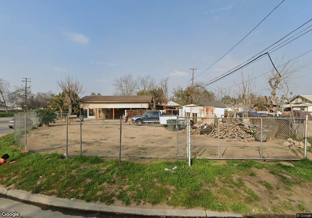
928 W Franklin Ave Fresno, CA 93706
Downtown Fresno NeighborhoodEstimated Value: $39,355 - $49,000
--
Bed
--
Bath
4,200
Sq Ft
$11/Sq Ft
Est. Value
About This Home
This home is located at 928 W Franklin Ave, Fresno, CA 93706 and is currently estimated at $44,178, approximately $10 per square foot. 928 W Franklin Ave is a home located in Fresno County with nearby schools including Addams Elementary, Rutherford B. Gaston Sr. Middle, and Edison High School.
Ownership History
Date
Name
Owned For
Owner Type
Purchase Details
Closed on
Aug 2, 2016
Sold by
Maccarthur Linda
Bought by
Pacheco Mario Fileman and Antonio Pacheco Luisa
Current Estimated Value
Purchase Details
Closed on
Jul 12, 2006
Sold by
Macarthur Linda M
Bought by
Macarthur Linda M
Purchase Details
Closed on
Feb 25, 2005
Sold by
Macarthur John D
Bought by
Macarthur J Douglas
Purchase Details
Closed on
Feb 10, 2003
Sold by
Macarthur M B and Macarthur Macleamy J
Bought by
Macarthur John D
Purchase Details
Closed on
Feb 1, 1996
Sold by
Elhag Deena
Bought by
Macarthur M B and Macarthur Macleamy J
Purchase Details
Closed on
Jan 24, 1994
Sold by
Macarthur J Douglas
Bought by
Elhag Deena
Create a Home Valuation Report for This Property
The Home Valuation Report is an in-depth analysis detailing your home's value as well as a comparison with similar homes in the area
Home Values in the Area
Average Home Value in this Area
Purchase History
| Date | Buyer | Sale Price | Title Company |
|---|---|---|---|
| Pacheco Mario Fileman | $14,000 | Old Republic Title Company | |
| Macarthur Linda M | -- | None Available | |
| Macarthur J Douglas | -- | -- | |
| Macarthur John D | $1,000 | -- | |
| Macarthur M B | $1,000 | -- | |
| Elhag Deena | $1,000 | -- |
Source: Public Records
Tax History Compared to Growth
Tax History
| Year | Tax Paid | Tax Assessment Tax Assessment Total Assessment is a certain percentage of the fair market value that is determined by local assessors to be the total taxable value of land and additions on the property. | Land | Improvement |
|---|---|---|---|---|
| 2025 | $216 | $16,245 | $16,245 | -- |
| 2023 | $216 | $15,615 | $15,615 | $0 |
| 2022 | $209 | $15,309 | $15,309 | $0 |
| 2021 | $204 | $15,009 | $15,009 | $0 |
| 2020 | $203 | $14,856 | $14,856 | $0 |
| 2019 | $195 | $14,565 | $14,565 | $0 |
| 2018 | $192 | $14,280 | $14,280 | $0 |
| 2017 | $188 | $14,000 | $14,000 | $0 |
| 2016 | $14 | $2,563 | $2,563 | $0 |
| 2015 | $14 | $2,525 | $2,525 | $0 |
| 2014 | $15 | $2,476 | $2,476 | $0 |
Source: Public Records
Map
Nearby Homes
- 343 N Delno Ave
- 1510 W Thomas Ave
- 1554 W Thomas Ave
- 0 Belmont Ave Unit FR25206445
- 0 W Belmont Ave
- 1022 N Carruth Ave
- 963 N Arthur Ave
- 517 N Farris Ave
- 555 N Harrison Ave
- 728 N Farris Ave
- 981 N Thorne Ave
- 1719 W Olive Ave Unit 37
- 1719 W Olive Ave Unit 33
- 734 W Hammond Ave
- 1011 N Thorne Ave
- 1335 N Esther Way
- 113 W Olive Ave
- 37 W Olive Ave
- 33 W Olive Ave
- 1345 N Teilman Ave
- 414 N Durant Ave
- 401 N Teilman Ave
- 409 N Teilman Ave
- 415 N Teilman Ave
- 424 N Durant Ave
- 925 W Franklin Ave
- 423 N Teilman Ave
- 859 W Franklin Ave
- 444 N Durant Ave
- 431 N Teilman Ave
- 385 N Teilman Ave
- 448 N Durant Ave
- 443 N Teilman Ave
- 377 N Teilman Ave
- 398 N Teilman Ave
- 454 N Durant Ave
- 451 N Teilman Ave
- 453 N Durant Ave
- 462 N Durant Ave
- 371 N Teilman Ave