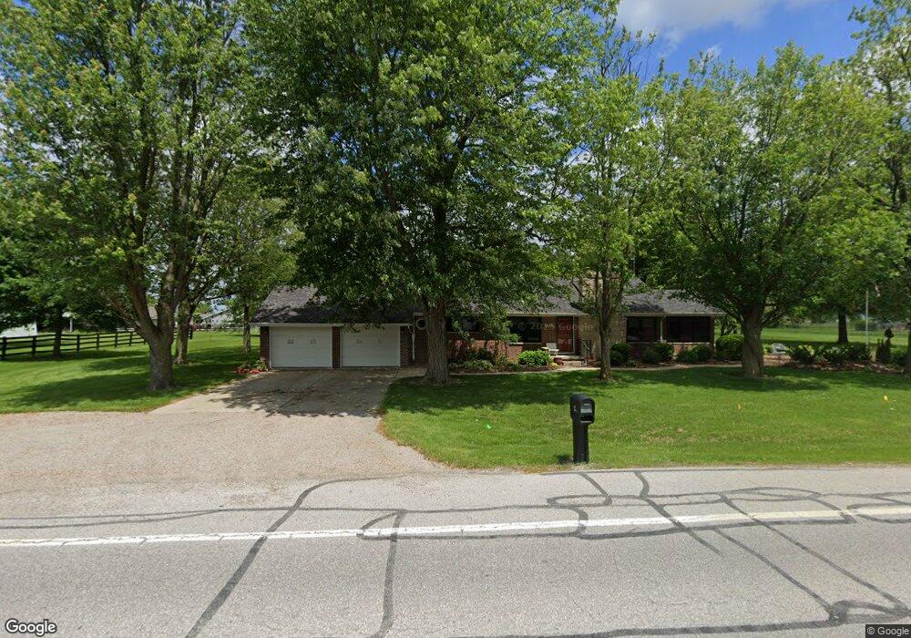
928 W Wayne St Paulding, OH 45879
Estimated Value: $162,000 - $179,000
3
Beds
1
Bath
1,400
Sq Ft
$121/Sq Ft
Est. Value
About This Home
This home is located at 928 W Wayne St, Paulding, OH 45879 and is currently estimated at $169,630, approximately $121 per square foot. 928 W Wayne St is a home located in Paulding County with nearby schools including Paulding High School.
Ownership History
Date
Name
Owned For
Owner Type
Purchase Details
Closed on
Sep 28, 2018
Sold by
Holbrook Mary Ellen
Bought by
Holbrook Mary Ellen and The Mary Ellen Holbrook 2011 D
Current Estimated Value
Purchase Details
Closed on
Jul 7, 2018
Sold by
Holbrook Mary Ellen and Waters Brian Robert
Bought by
Holbrook Mary Ellen
Purchase Details
Closed on
Feb 22, 1996
Bought by
Waters Roscoe Trust Waters Elizabeth Tru
Create a Home Valuation Report for This Property
The Home Valuation Report is an in-depth analysis detailing your home's value as well as a comparison with similar homes in the area
Home Values in the Area
Average Home Value in this Area
Purchase History
| Date | Buyer | Sale Price | Title Company |
|---|---|---|---|
| Holbrook Mary Ellen | -- | None Available | |
| Holbrook Mary Ellen | -- | None Available | |
| Holbrook Mary Ellen | -- | None Available | |
| Waters Roscoe Trust Waters Elizabeth Tru | -- | -- |
Source: Public Records
Tax History
| Year | Tax Paid | Tax Assessment Tax Assessment Total Assessment is a certain percentage of the fair market value that is determined by local assessors to be the total taxable value of land and additions on the property. | Land | Improvement |
|---|---|---|---|---|
| 2025 | $1,963 | $60,200 | $7,420 | $52,780 |
| 2024 | $1,963 | $46,310 | $5,710 | $40,600 |
| 2023 | $1,580 | $46,310 | $5,710 | $40,600 |
| 2022 | $1,587 | $46,310 | $5,710 | $40,600 |
| 2021 | $1,352 | $37,350 | $5,710 | $31,640 |
| 2020 | $1,397 | $37,350 | $5,710 | $31,640 |
| 2019 | $1,410 | $34,480 | $5,710 | $28,770 |
| 2018 | $1,342 | $34,480 | $5,710 | $28,770 |
| 2017 | $1,343 | $34,480 | $5,710 | $28,770 |
| 2016 | $1,349 | $34,480 | $5,710 | $28,770 |
| 2015 | $941 | $33,780 | $5,710 | $28,070 |
| 2014 | $936 | $33,780 | $5,710 | $28,070 |
| 2013 | $1,033 | $33,780 | $5,710 | $28,070 |
Source: Public Records
Map
Nearby Homes
- 714 W Wayne St
- 717 W Harrison St
- 614 W Jackson St
- 520 W Wayne St
- 215 N Dewitt St
- 508 W Jackson St
- 402 N Williams St
- 308 N Main St
- 516 N Williams St
- 301 N Main St
- 726 N Main St
- 780 N Williams St
- 830 N Walnut St
- 701 E Wayne St
- 742 E Perry St
- 741 Tom Tim Dr
- 11051 Road 93
- 1065 Emerald Rd
- 13688 Kay St
- 225 2nd St
- 921 W Wayne St
- 929 W Wayne St
- 925 W Wayne St
- 916 W Wayne St
- 917 W Wayne St
- 179 Bittersweet Dr
- 177 Bittersweet Dr
- 181 Bittersweet Dr
- 939 W Wayne St
- 175 Bittersweet Dr
- 183 Bittersweet Dr
- 187 Bittersweet Dr
- 173 Bittersweet Dr
- 951 W Wayne St
- 174 Bittersweet Dr
- 171 Bittersweet Dr
- 912 W Wayne St
- 169 Bittersweet Dr
- 172 Bittersweet Dr
- 955 W Wayne St
Your Personal Tour Guide
Ask me questions while you tour the home.