9281 N Main St Rockford, IL 61103
Estimated Value: $207,000 - $289,000
3
Beds
2
Baths
--
Sq Ft
2.03
Acres
About This Home
This home is located at 9281 N Main St, Rockford, IL 61103 and is currently estimated at $250,697. 9281 N Main St is a home located in Winnebago County with nearby schools including Rockton Elementary School, Whitman Post Elementary School, and Stephen Mack Middle School.
Ownership History
Date
Name
Owned For
Owner Type
Purchase Details
Closed on
Sep 10, 2010
Sold by
Wendt Ronald A and Wendt Dolores M
Bought by
Finn Eugene R and Finn Beverly M
Current Estimated Value
Home Financials for this Owner
Home Financials are based on the most recent Mortgage that was taken out on this home.
Original Mortgage
$110,000
Interest Rate
3.9%
Mortgage Type
New Conventional
Create a Home Valuation Report for This Property
The Home Valuation Report is an in-depth analysis detailing your home's value as well as a comparison with similar homes in the area
Home Values in the Area
Average Home Value in this Area
Purchase History
| Date | Buyer | Sale Price | Title Company |
|---|---|---|---|
| Finn Eugene R | $161,500 | Title Underwriters Agency | |
| Finn Eugene R | $161,500 | -- |
Source: Public Records
Mortgage History
| Date | Status | Borrower | Loan Amount |
|---|---|---|---|
| Previous Owner | Finn Eugene R | $110,000 |
Source: Public Records
Tax History Compared to Growth
Tax History
| Year | Tax Paid | Tax Assessment Tax Assessment Total Assessment is a certain percentage of the fair market value that is determined by local assessors to be the total taxable value of land and additions on the property. | Land | Improvement |
|---|---|---|---|---|
| 2024 | $4,740 | $64,179 | $6,493 | $57,686 |
| 2023 | $4,469 | $55,939 | $5,659 | $50,280 |
| 2022 | $4,272 | $50,872 | $5,146 | $45,726 |
| 2021 | $4,120 | $48,019 | $4,857 | $43,162 |
| 2020 | $4,036 | $46,018 | $4,655 | $41,363 |
| 2019 | $3,964 | $44,138 | $4,465 | $39,673 |
| 2018 | $3,798 | $42,149 | $4,264 | $37,885 |
| 2017 | $3,898 | $41,322 | $4,180 | $37,142 |
| 2016 | $3,708 | $39,856 | $4,032 | $35,824 |
| 2015 | $3,692 | $39,086 | $3,954 | $35,132 |
| 2014 | $3,551 | $39,086 | $3,954 | $35,132 |
Source: Public Records
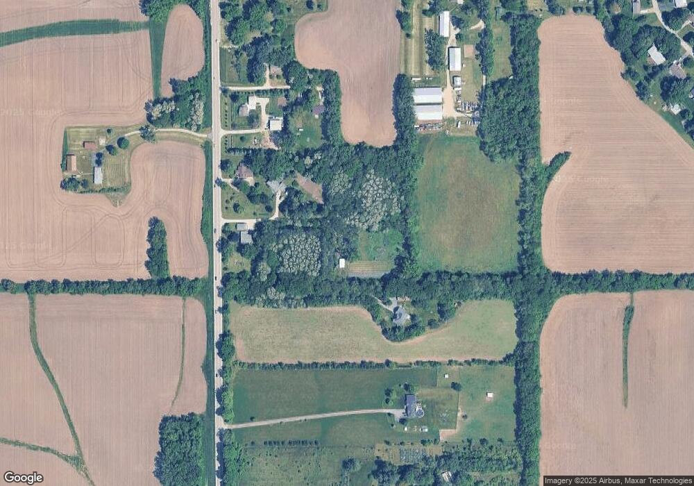
Map
Nearby Homes
- 9283 N Main St
- 1536 Marberly Dr
- 9310 Doral Fairway
- 1280 Deanna Dr
- 9807 Old River Rd
- 862 Brandy Bend Rd
- 8239 Easement Dr
- 11028 Ventura Blvd
- 9968 Leana Dr
- 11224 Ventura Blvd
- 7774 Old River Rd
- The Onyx Plan at Denali Heights
- The Opalite Plan at Denali Heights
- The Dolomite Plan at Denali Heights
- The Sapphire Plan at Denali Heights
- 653 Yosemite Ave
- 10632 Ventura Blvd
- 9823 Lismore Rd
- 9837 Lismore Rd
- 9863 Lismore Rd
- 9323 N Main St
- 9241 N Main St
- 9339 N Main St
- 9385 N Main St
- 9385 N Main St
- 9397 N Main St
- 9417 N Main St
- 1832 Gleasman Rd
- 9049 N Main St
- 1740 Gleasman Rd
- 1704 Gleasman Rd
- 9436 Oscaree Dr
- 9774 Oscaree Dr
- 9412 Oscaree Dr
- 9404 Oscaree Dr
- 9384 Oscaree Dr
- 9451 Oscaree Dr
- 9473 Oscaree Dr
- 9429 Oscaree Dr
- 1570 Marberly Dr