9283 Highway 10 Taylor, ND 58656
Estimated Value: $244,000 - $460,649
3
Beds
2
Baths
1,563
Sq Ft
$225/Sq Ft
Est. Value
About This Home
This home is located at 9283 Highway 10, Taylor, ND 58656 and is currently estimated at $352,325, approximately $225 per square foot. 9283 Highway 10 is a home located in Stark County with nearby schools including Taylor-Richardton Elementary School and Richardton-Taylor High School.
Ownership History
Date
Name
Owned For
Owner Type
Purchase Details
Closed on
May 22, 2015
Sold by
Zimmerman Michael T and Zimmerman Mary J
Bought by
Rebel Derek T
Current Estimated Value
Purchase Details
Closed on
Apr 23, 2015
Sold by
Zimmerman Michael T and Zimmerman Mary J
Bought by
Rebel Richard and Rebel Susan
Create a Home Valuation Report for This Property
The Home Valuation Report is an in-depth analysis detailing your home's value as well as a comparison with similar homes in the area
Home Values in the Area
Average Home Value in this Area
Purchase History
| Date | Buyer | Sale Price | Title Company |
|---|---|---|---|
| Rebel Derek T | -- | None Available | |
| Rebel Richard | -- | Queen City Abstract Title & |
Source: Public Records
Mortgage History
| Date | Status | Borrower | Loan Amount |
|---|---|---|---|
| Previous Owner | Rebel Richard M | $202,000 | |
| Previous Owner | Rebel Richard | $100,000 | |
| Previous Owner | Rebel Richard | $11,870 |
Source: Public Records
Tax History Compared to Growth
Tax History
| Year | Tax Paid | Tax Assessment Tax Assessment Total Assessment is a certain percentage of the fair market value that is determined by local assessors to be the total taxable value of land and additions on the property. | Land | Improvement |
|---|---|---|---|---|
| 2024 | $3,165 | $337,300 | $18,700 | $318,600 |
| 2023 | $3,429 | $335,600 | $18,700 | $310,100 |
| 2022 | $3,446 | $335,600 | $18,700 | $310,100 |
| 2021 | $3,448 | $318,500 | $18,700 | $299,800 |
| 2020 | $3,523 | $321,600 | $18,700 | $302,900 |
| 2019 | $3,549 | $324,600 | $18,700 | $305,900 |
| 2018 | $3,541 | $330,900 | $25,000 | $305,900 |
| 2017 | $2,846 | $327,700 | $18,700 | $309,000 |
| 2015 | $2,846 | $327,400 | $24,500 | $302,900 |
| 2014 | $2,849 | $312,500 | $22,400 | $290,100 |
| 2013 | -- | $294,400 | $22,400 | $272,000 |
Source: Public Records
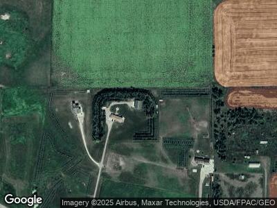
Map
Nearby Homes
- 205 Elm Ave
- 22 Dagnault Ave
- 204 2nd St N
- 128 4th St N
- 221 S Main St
- 220 B St N
- 204 12th Ave E
- 9977 36b St SW
- 9984 36b St SW
- 0 36b St SW
- 0 36e St SW
- 0 Block 1 Lot 1 Unit 24-775
- 214 Cliff St
- 0 Cliff St
- 0 Main St
- 0 Lot 1 102p Ave SW Unit 25-169
- 0 Lot 2 102p Ave SW Unit 25-171
- 0 Lot 9 102p Ave SW Unit 25-170
- 3287 82w Ave SW
- 10493 Highway 10
- 9283 Highway 10
- 9285 Highway 10
- 9253 Highway 10
- 9243 Highway 10
- 9287 Highway 10
- 0 Hwy 10
- 9289 Highway 10
- 3547 93rd Ave SW
- 3549 92nd Ave SW
- 3552 93rd Ave SW
- 9325 Highway 10
- 314 Rayjay Cir
- 314 Ray Jay Cir
- 315 Ray Jay Cir
- 315 Rayjay Cir
- 309 Rayjay Cir
- 306 Ray Jay Cir
- 306 Rayjay Cir
- 302 Ray Jay Cir
- 302 Rayjay Cir