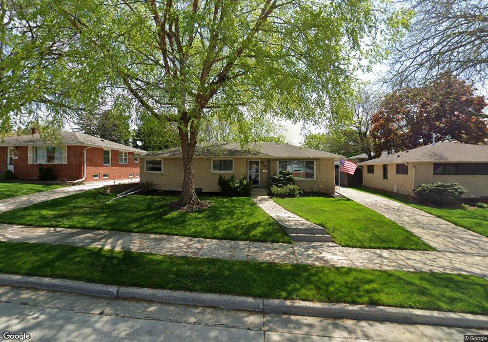
929 Echo Ln Racine, WI 53406
Buhler Heights NeighborhoodEstimated Value: $257,070 - $274,000
Studio
--
Bath
1,288
Sq Ft
$207/Sq Ft
Est. Value
About This Home
This home is located at 929 Echo Ln, Racine, WI 53406 and is currently estimated at $266,518, approximately $206 per square foot. 929 Echo Ln is a home located in Racine County with nearby schools including Fratt Elementary School, Mitchell Middle School, and Park High School.
Ownership History
Date
Name
Owned For
Owner Type
Purchase Details
Closed on
Jan 9, 2012
Sold by
Settersten Jeremiah
Bought by
Hornyak Rose K
Current Estimated Value
Purchase Details
Closed on
Nov 5, 2009
Sold by
Bauernfeind Janice A and Charlotte M Bauernfeind Family
Bought by
Hornyak Rose K and Settersten Jeremiah
Home Financials for this Owner
Home Financials are based on the most recent Mortgage that was taken out on this home.
Original Mortgage
$114,750
Interest Rate
4.95%
Mortgage Type
New Conventional
Purchase Details
Closed on
Jun 12, 2006
Sold by
Baijernfiend Norman G Fam Trust
Bought by
Bauernfeind Charlotte M Fam Trust
Create a Home Valuation Report for This Property
The Home Valuation Report is an in-depth analysis detailing your home's value as well as a comparison with similar homes in the area
Home Values in the Area
Average Home Value in this Area
Purchase History
| Date | Buyer | Sale Price | Title Company |
|---|---|---|---|
| Hornyak Rose K | $70,000 | None Available | |
| Hornyak Rose K | $135,000 | None Available | |
| Bauernfeind Charlotte M Fam Trust | $70,000 | -- |
Source: Public Records
Mortgage History
| Date | Status | Borrower | Loan Amount |
|---|---|---|---|
| Previous Owner | Hornyak Rose K | $114,750 |
Source: Public Records
Tax History
| Year | Tax Paid | Tax Assessment Tax Assessment Total Assessment is a certain percentage of the fair market value that is determined by local assessors to be the total taxable value of land and additions on the property. | Land | Improvement |
|---|---|---|---|---|
| 2024 | $4,855 | $210,400 | $24,500 | $185,900 |
| 2023 | $4,595 | $192,000 | $24,500 | $167,500 |
| 2022 | $4,239 | $175,000 | $24,500 | $150,500 |
| 2021 | $4,313 | $159,000 | $24,500 | $134,500 |
| 2020 | $4,294 | $159,000 | $24,500 | $134,500 |
| 2019 | $3,969 | $149,000 | $24,500 | $124,500 |
| 2018 | $3,994 | $134,000 | $24,500 | $109,500 |
| 2017 | $3,976 | $134,000 | $24,500 | $109,500 |
| 2016 | $3,757 | $124,000 | $24,500 | $99,500 |
| 2015 | $3,844 | $124,000 | $24,500 | $99,500 |
| 2014 | $3,844 | $124,000 | $24,500 | $99,500 |
| 2013 | $3,844 | $132,000 | $30,000 | $102,000 |
Source: Public Records
Map
Nearby Homes
- 1005 Perry Ave
- 1115 Perry Ave
- 619 Echo Ln
- 708 Illinois St
- 1214 Illinois St
- 726 Orchard St
- 235 Oregon St
- 1424 Oregon St
- 1008 Monroe Ave
- 720 Monroe Ave
- 1521 Illinois St
- 4014 Wright Ave
- 1419 Orchard St
- 1617 Ohio St
- 733 W Lawn Ave
- 5129 16th St
- 713 W Lawn Ave
- 5329 16th St
- 934 Cleveland Ave
- 1616 Oregon St
Your Personal Tour Guide
Ask me questions while you tour the home.