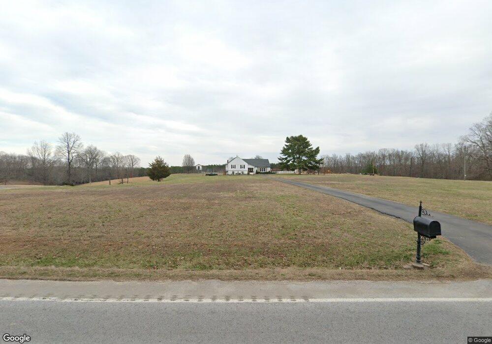
929 Highway 13 S Collinwood, TN 38450
Estimated Value: $161,000 - $198,000
5
Beds
3
Baths
3,779
Sq Ft
$47/Sq Ft
Est. Value
About This Home
This home is located at 929 Highway 13 S, Collinwood, TN 38450 and is currently estimated at $179,500, approximately $47 per square foot. 929 Highway 13 S is a home located in Wayne County.
Ownership History
Date
Name
Owned For
Owner Type
Purchase Details
Closed on
Dec 29, 2023
Sold by
Sandusky Danny and Sandusky Regina
Bought by
Risner Austin and Risner Selby
Current Estimated Value
Home Financials for this Owner
Home Financials are based on the most recent Mortgage that was taken out on this home.
Original Mortgage
$140,000
Interest Rate
7.29%
Mortgage Type
Seller Take Back
Purchase Details
Closed on
May 20, 1988
Bought by
Sandusky Danny
Purchase Details
Closed on
Jan 30, 1980
Bought by
Sandusky Danny and Sandusky Brenda
Purchase Details
Closed on
Sep 5, 1978
Create a Home Valuation Report for This Property
The Home Valuation Report is an in-depth analysis detailing your home's value as well as a comparison with similar homes in the area
Home Values in the Area
Average Home Value in this Area
Purchase History
| Date | Buyer | Sale Price | Title Company |
|---|---|---|---|
| Risner Austin | $160,000 | None Listed On Document | |
| Sandusky Danny | -- | -- | |
| Sandusky Danny | -- | -- | |
| -- | -- | -- |
Source: Public Records
Mortgage History
| Date | Status | Borrower | Loan Amount |
|---|---|---|---|
| Closed | Risner Austin | $140,000 |
Source: Public Records
Tax History Compared to Growth
Tax History
| Year | Tax Paid | Tax Assessment Tax Assessment Total Assessment is a certain percentage of the fair market value that is determined by local assessors to be the total taxable value of land and additions on the property. | Land | Improvement |
|---|---|---|---|---|
| 2024 | $251 | $11,575 | $8,025 | $3,550 |
| 2023 | $420 | $11,850 | $8,300 | $3,550 |
| 2022 | $420 | $11,850 | $8,300 | $3,550 |
| 2021 | $612 | $11,850 | $8,300 | $3,550 |
| 2020 | $612 | $15,575 | $6,775 | $8,800 |
| 2019 | $358 | $15,575 | $6,775 | $8,800 |
| 2018 | $612 | $15,575 | $6,775 | $8,800 |
| 2017 | $612 | $15,575 | $6,775 | $8,800 |
| 2016 | $573 | $15,575 | $6,775 | $8,800 |
| 2014 | $491 | $13,233 | $0 | $0 |
Source: Public Records
Map
Nearby Homes
- 103 S Village Ct
- 103 Daniel Cir
- 375 Roanoke Creek Rd
- 200 E Broadway St
- 411 W Martin Rd
- 3065 Bucksnort Ridge Rd
- 1479 Railroad Bed Rd
- 1344 Railroad Bed Rd
- 1611 Chisholm Rd
- 8276 Middle Butler Rd
- 2055 Chisholm Rd
- Hughes Farm Rd
- 2562 Spain Rd
- 5205 Baptist Hill Rd
- 0 Waterfall Creek Rd
- 1053 Houston Smith Rd
- 0 Downing Hollow Rd
- 0 Chisholm Rd
- 4013 Andrews Grocery Rd
- 1 Scott Ridge Rd
- 933 Highway 13 S
- 925 Highway 13 S
- 922 Highway 13 S
- 934 Highway 13 S
- 936 Highway 13 S
- 914 Highway 13 S
- 923 Highway 13 S
- 941 Highway 13 S
- 910 Highway 13 S
- 100 E Rachel St
- 967 Highway 13 S
- 104 S Village Ct
- 200 E Andy St
- 201 E Andy St
- 108 E Rachel St E
- 822 Highway 13 S
- 102 E Hickory Ln
- 202 E Andy St
- 104 E Hickory Ln
- 0000 Hickory Ln