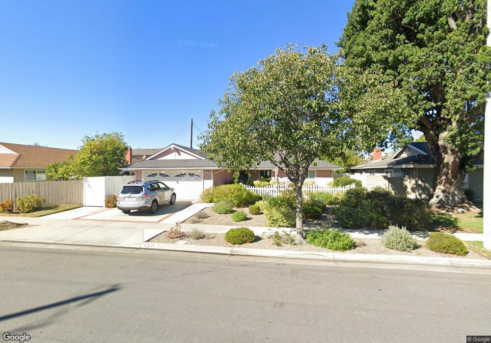
9291 Nantucket Dr Huntington Beach, CA 92646
Estimated Value: $1,389,746 - $1,562,000
4
Beds
2
Baths
1,862
Sq Ft
$787/Sq Ft
Est. Value
About This Home
This home is located at 9291 Nantucket Dr, Huntington Beach, CA 92646 and is currently estimated at $1,464,937, approximately $786 per square foot. 9291 Nantucket Dr is a home located in Orange County with nearby schools including Isojiro Oka Elementary, Talbert Middle School, and Huntington Beach High School.
Ownership History
Date
Name
Owned For
Owner Type
Purchase Details
Closed on
Mar 20, 2025
Sold by
Mcculloch Family Trust and Mcculloch Nancy A
Bought by
Nancy A Mcculloch Revocable Trust and Mcculloch
Current Estimated Value
Purchase Details
Closed on
Dec 12, 2017
Sold by
Mcculloch Danny D and Mcculloch Nancy A
Bought by
Mcculloch Danny D and Mcculloch Nancy A
Create a Home Valuation Report for This Property
The Home Valuation Report is an in-depth analysis detailing your home's value as well as a comparison with similar homes in the area
Home Values in the Area
Average Home Value in this Area
Purchase History
| Date | Buyer | Sale Price | Title Company |
|---|---|---|---|
| Nancy A Mcculloch Revocable Trust | -- | None Listed On Document | |
| Mcculloch Danny D | -- | None Available |
Source: Public Records
Tax History Compared to Growth
Tax History
| Year | Tax Paid | Tax Assessment Tax Assessment Total Assessment is a certain percentage of the fair market value that is determined by local assessors to be the total taxable value of land and additions on the property. | Land | Improvement |
|---|---|---|---|---|
| 2025 | $3,278 | $276,570 | $134,895 | $141,675 |
| 2024 | $3,278 | $271,148 | $132,250 | $138,898 |
| 2023 | $3,198 | $265,832 | $129,657 | $136,175 |
| 2022 | $3,147 | $260,620 | $127,115 | $133,505 |
| 2021 | $3,086 | $255,510 | $124,622 | $130,888 |
| 2020 | $3,066 | $252,891 | $123,345 | $129,546 |
| 2019 | $3,006 | $247,933 | $120,927 | $127,006 |
| 2018 | $2,949 | $243,072 | $118,556 | $124,516 |
| 2017 | $2,901 | $238,306 | $116,231 | $122,075 |
| 2016 | $2,782 | $233,634 | $113,952 | $119,682 |
| 2015 | $2,739 | $230,125 | $112,240 | $117,885 |
| 2014 | $2,683 | $225,618 | $110,042 | $115,576 |
Source: Public Records
Map
Nearby Homes
- 9121 Madeline Dr
- 19846 Lures Ln
- 9594 Pettswood Dr Unit 4
- 20071 Moontide Cir
- 19854 Leighton Ln
- 9667 Durham Dr
- 9462 Litchfield Dr
- 19843 Coventry Ln
- 9745 Cornwall Dr
- 9695 Adams Ave
- 9831 Continental Dr
- 19860 Claremont Ln
- 19774 Cambridge Ln
- 19361 Brookhurst St Unit 159
- 19361 Brookhurst St Unit 87
- 19361 Brookhurst St Unit 50
- 19361 Brookhurst St Unit 143
- 19361 Brookhurst St Unit 21
- 19361 Brookhurst St Unit 22
- 19361 Brookhurst St Unit 184
- 9301 Nantucket Dr
- 19612 Waterbury Ln
- 19602 Waterbury Ln
- 9292 Portsmouth Dr
- 9302 Portsmouth Dr
- 9321 Nantucket Dr
- 19592 Waterbury Ln
- 9322 Portsmouth Dr
- 9292 Nantucket Dr
- 19632 Waterbury Ln
- 9302 Nantucket Dr
- 9331 Nantucket Dr
- 9322 Nantucket Dr
- 9332 Portsmouth Dr
- 19642 Waterbury Ln
- 9341 Nantucket Dr
- 19611 Waterbury Ln
- 9332 Nantucket Dr
- 19601 Waterbury Ln
- 19621 Waterbury Ln