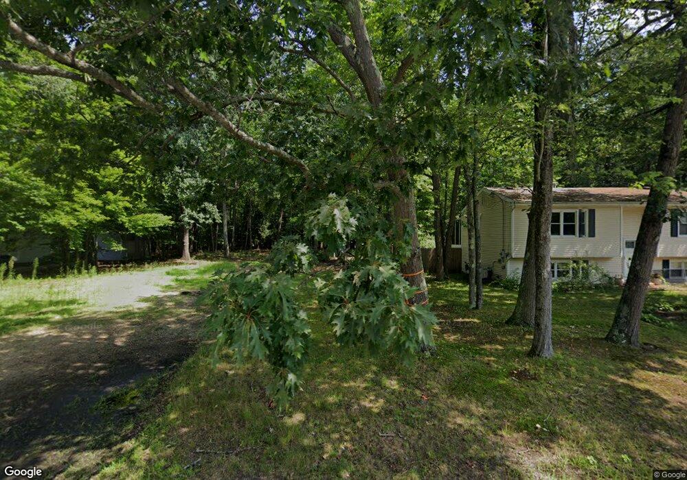
93 Abbott Rd Concord, NH 03303
West Concord NeighborhoodEstimated Value: $477,000 - $547,000
4
Beds
2
Baths
2,016
Sq Ft
$256/Sq Ft
Est. Value
About This Home
This home is located at 93 Abbott Rd, Concord, NH 03303 and is currently estimated at $515,335, approximately $255 per square foot. 93 Abbott Rd is a home located in Merrimack County with nearby schools including Beaver Meadow School, Rundlett Middle School, and Concord High School.
Ownership History
Date
Name
Owned For
Owner Type
Purchase Details
Closed on
Feb 14, 1997
Sold by
Piche Claire
Bought by
Boulter Richard A
Current Estimated Value
Home Financials for this Owner
Home Financials are based on the most recent Mortgage that was taken out on this home.
Original Mortgage
$35,750
Outstanding Balance
$3,141
Interest Rate
7.6%
Mortgage Type
Purchase Money Mortgage
Estimated Equity
$512,195
Create a Home Valuation Report for This Property
The Home Valuation Report is an in-depth analysis detailing your home's value as well as a comparison with similar homes in the area
Home Values in the Area
Average Home Value in this Area
Purchase History
| Date | Buyer | Sale Price | Title Company |
|---|---|---|---|
| Boulter Richard A | $47,700 | -- |
Source: Public Records
Mortgage History
| Date | Status | Borrower | Loan Amount |
|---|---|---|---|
| Open | Boulter Richard A | $35,750 |
Source: Public Records
Tax History
| Year | Tax Paid | Tax Assessment Tax Assessment Total Assessment is a certain percentage of the fair market value that is determined by local assessors to be the total taxable value of land and additions on the property. | Land | Improvement |
|---|---|---|---|---|
| 2025 | $9,309 | $319,800 | $96,900 | $222,900 |
| 2024 | $8,855 | $319,800 | $96,900 | $222,900 |
| 2023 | $8,590 | $319,800 | $96,900 | $222,900 |
| 2022 | $8,280 | $319,800 | $96,900 | $222,900 |
| 2021 | $8,033 | $319,800 | $96,900 | $222,900 |
| 2020 | $7,801 | $291,500 | $77,700 | $213,800 |
| 2019 | $6,956 | $250,400 | $70,700 | $179,700 |
| 2018 | $7,180 | $254,700 | $70,700 | $184,000 |
| 2017 | $6,820 | $241,500 | $67,200 | $174,300 |
| 2016 | $6,237 | $225,400 | $67,200 | $158,200 |
| 2015 | $5,949 | $217,600 | $65,300 | $152,300 |
| 2014 | $5,834 | $217,600 | $65,300 | $152,300 |
| 2013 | $5,489 | $214,600 | $65,300 | $149,300 |
| 2012 | $5,693 | $233,600 | $65,300 | $168,300 |
Source: Public Records
Map
Nearby Homes
- 70 Abbott Rd
- 59 Hobart St
- 4 Bellflower Cir
- 37 Woodbine Ave
- 123 Sewalls Falls Rd
- 127 Sewalls Falls Rd
- 120 Fisherville Rd Unit 176
- 125 Sewalls Falls Rd
- 117 Sewalls Falls Rd
- 145 Abbott Rd
- 13 Suffolk Rd Unit 5
- 13 Suffolk Rd Unit 4
- 13 Suffolk Rd Unit 8
- 0 Sewalls Falls & Abbott Rd Unit Multiple
- 4 Tanager Cir Unit 8
- 4 Tanager Cir Unit 7
- 4 Tanager Cir Unit 5
- 4 Tanager Cir Unit 3
- 4 Tanager Cir Unit 2
- 105 Sewalls Falls Rd
- 35 Richmond Dr
- 35 Richmond Dr Unit 17
- 33 Richmond Dr
- 33 Richmond Dr Unit 16
- 38 Richmond Dr
- 38 Richmond Dr Unit 28
- 40 Richmond Dr
- 40 Richmond Dr Unit 27
- 91 Abbott Rd
- 87 Abbott Rd
- 36 Richmond Dr
- 36 Richmond Dr Unit 29
- 42 Richmond Dr
- 42 Richmond Dr Unit 26
- 31 Richmond Dr
- 31 Richmond Dr Unit 15
- 89 Abbott Rd
- 34 Richmond Dr
- 34 Richmond Dr Unit 30
- 85 Abbott Rd
Your Personal Tour Guide
Ask me questions while you tour the home.