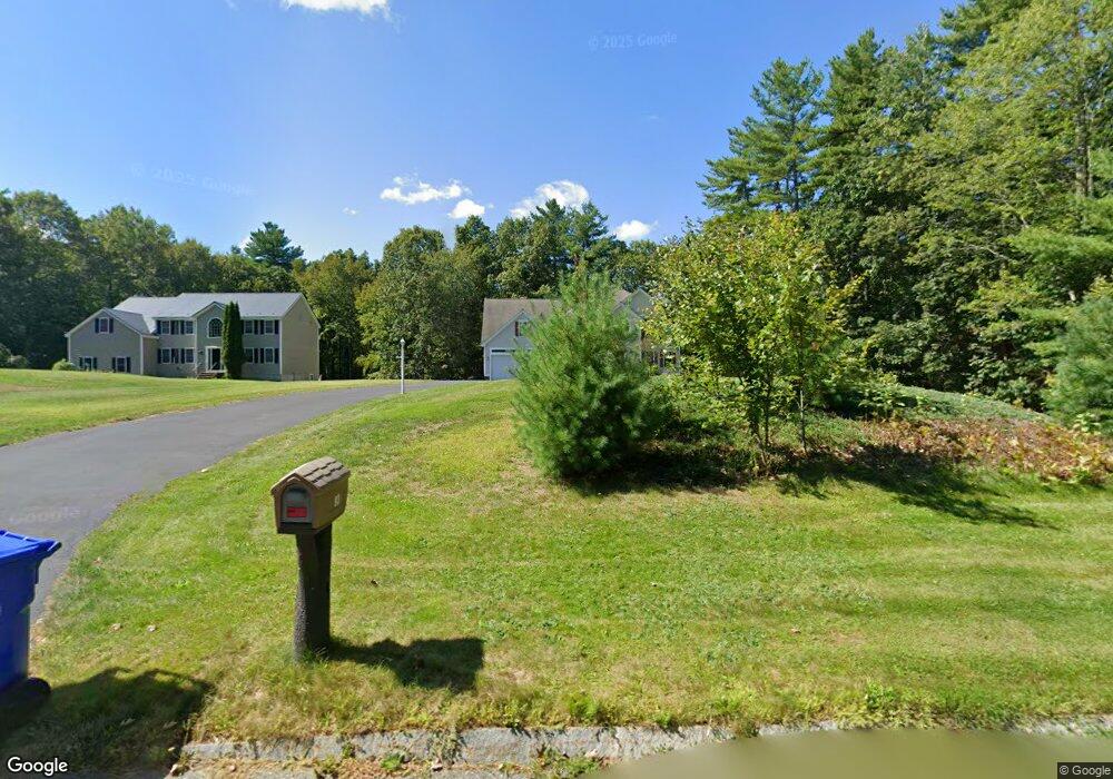
93 Adams St Dunstable, MA 01827
Estimated Value: $876,000 - $936,000
4
Beds
3
Baths
3,180
Sq Ft
$283/Sq Ft
Est. Value
About This Home
This home is located at 93 Adams St, Dunstable, MA 01827 and is currently estimated at $899,539, approximately $282 per square foot. 93 Adams St is a home located in Middlesex County with nearby schools including Groton Dunstable Regional High School and Maple Dene & Moppet School.
Ownership History
Date
Name
Owned For
Owner Type
Purchase Details
Closed on
May 21, 2014
Sold by
Cjl Rt and Fogg
Bought by
Fennell Kenneth J and Fennell Maritza L
Current Estimated Value
Purchase Details
Closed on
Jun 25, 2003
Sold by
Cjl Rt and Fogg
Bought by
Fennell Kenneth J and Fennell Maritza
Home Financials for this Owner
Home Financials are based on the most recent Mortgage that was taken out on this home.
Original Mortgage
$399,900
Interest Rate
5.53%
Mortgage Type
Purchase Money Mortgage
Purchase Details
Closed on
Apr 13, 2000
Sold by
Unkety Brook Inc
Bought by
Fogg Joann
Create a Home Valuation Report for This Property
The Home Valuation Report is an in-depth analysis detailing your home's value as well as a comparison with similar homes in the area
Home Values in the Area
Average Home Value in this Area
Purchase History
| Date | Buyer | Sale Price | Title Company |
|---|---|---|---|
| Fennell Kenneth J | -- | -- | |
| Fennell Kenneth J | $499,900 | -- | |
| Fogg Joann | $104,900 | -- |
Source: Public Records
Mortgage History
| Date | Status | Borrower | Loan Amount |
|---|---|---|---|
| Previous Owner | Fogg Joann | $411,000 | |
| Previous Owner | Fennell Kenneth J | $399,900 |
Source: Public Records
Tax History
| Year | Tax Paid | Tax Assessment Tax Assessment Total Assessment is a certain percentage of the fair market value that is determined by local assessors to be the total taxable value of land and additions on the property. | Land | Improvement |
|---|---|---|---|---|
| 2025 | $11,213 | $815,500 | $196,200 | $619,300 |
| 2024 | $10,908 | $781,400 | $193,100 | $588,300 |
| 2023 | $10,750 | $718,100 | $193,100 | $525,000 |
| 2022 | $9,736 | $638,400 | $193,100 | $445,300 |
| 2021 | $9,643 | $587,600 | $171,300 | $416,300 |
| 2020 | $9,467 | $562,200 | $163,500 | $398,700 |
| 2019 | $9,180 | $538,100 | $163,500 | $374,600 |
| 2018 | $9,007 | $513,500 | $163,500 | $350,000 |
| 2017 | $8,653 | $508,400 | $163,500 | $344,900 |
| 2016 | $7,972 | $481,700 | $140,200 | $341,500 |
| 2015 | $8,228 | $491,800 | $137,100 | $354,700 |
| 2014 | $7,756 | $491,800 | $137,100 | $354,700 |
Source: Public Records
Map
Nearby Homes
- 235 Kemp St
- 179 Wyman Rd
- 208 North St
- 11 Unkety Brook Way
- 12 Unkety Brook Way
- 319 Pleasant St
- 114 Groton St
- 200 Nashua Rd
- 29 Tarbell St
- 38 Tarbell St Unit 5B
- 38 Tarbell St Unit 1D
- 27 Merrimac Dr
- 53 Mclains Woods Rd
- 153 Off Pond St
- 28-30 Groton St
- 8 Casie Ln
- 91 Chicopee Row
- 31 Sawtell Dr
- 113-115 Main St
- 2 Wildflower Ln
Your Personal Tour Guide
Ask me questions while you tour the home.