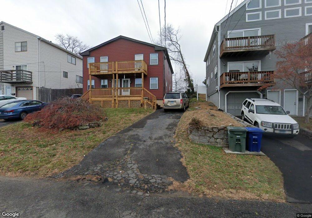
93 Beachview Ave Bridgeport, CT 06605
Black Rock NeighborhoodEstimated Value: $330,000 - $481,210
3
Beds
3
Baths
1,216
Sq Ft
$347/Sq Ft
Est. Value
About This Home
This home is located at 93 Beachview Ave, Bridgeport, CT 06605 and is currently estimated at $421,803, approximately $346 per square foot. 93 Beachview Ave is a home located in Fairfield County with nearby schools including Holland Hill Elementary, Fairfield Ludlowe High School, and Catholic Academy of Bridgeport-St. Ann Academy.
Ownership History
Date
Name
Owned For
Owner Type
Purchase Details
Closed on
Jan 20, 1999
Sold by
Albert June L
Bought by
Martin Robert C
Current Estimated Value
Home Financials for this Owner
Home Financials are based on the most recent Mortgage that was taken out on this home.
Original Mortgage
$85,000
Outstanding Balance
$19,613
Interest Rate
6.7%
Estimated Equity
$402,190
Create a Home Valuation Report for This Property
The Home Valuation Report is an in-depth analysis detailing your home's value as well as a comparison with similar homes in the area
Home Values in the Area
Average Home Value in this Area
Purchase History
| Date | Buyer | Sale Price | Title Company |
|---|---|---|---|
| Martin Robert C | $90,000 | -- | |
| Martin Robert C | $90,000 | -- |
Source: Public Records
Mortgage History
| Date | Status | Borrower | Loan Amount |
|---|---|---|---|
| Open | Martin Robert C | $85,000 | |
| Closed | Martin Robert C | $85,000 |
Source: Public Records
Tax History
| Year | Tax Paid | Tax Assessment Tax Assessment Total Assessment is a certain percentage of the fair market value that is determined by local assessors to be the total taxable value of land and additions on the property. | Land | Improvement |
|---|---|---|---|---|
| 2025 | $7,620 | $175,379 | $73,329 | $102,050 |
| 2024 | $7,620 | $175,379 | $73,329 | $102,050 |
| 2023 | $7,620 | $175,379 | $73,329 | $102,050 |
| 2022 | $7,620 | $175,379 | $73,329 | $102,050 |
| 2021 | $7,620 | $175,379 | $73,329 | $102,050 |
| 2020 | $5,958 | $110,360 | $41,480 | $68,880 |
| 2019 | $5,958 | $110,360 | $41,480 | $68,880 |
| 2018 | $6,000 | $110,360 | $41,480 | $68,880 |
| 2017 | $6,000 | $110,360 | $41,480 | $68,880 |
| 2016 | $6,000 | $110,360 | $41,480 | $68,880 |
| 2015 | $5,464 | $129,480 | $38,120 | $91,360 |
| 2014 | $5,464 | $129,480 | $38,120 | $91,360 |
Source: Public Records
Map
Nearby Homes
- 3250 Fairfield Ave Unit 302
- 90 Clarkson St
- 315 Seaside Ave
- 132 Gilman St
- 377 Midland St
- 8 Jetland Place Unit 10
- 165 Bennett St
- 97 Fayerweather Terrace
- 855 Brewster St Unit 857
- 554 Brewster St Unit 4
- 27 Nash Ln Unit 5
- 148 Alfred St
- 37 Rowsley St Unit 6
- 98 Cambridge St
- 78 Rowsley St Unit 4
- 318 Grovers Ave
- 70 Meadow Ridge Rd
- 117 Nash Ln
- 65 Ellsworth St Unit 302
- 22 Monroe St Unit 24
- 95 Beachview Ave
- 91 Beachview Ave
- 115 Beachview Ave
- 97 Beachview Ave
- 81 Beachview Ave
- 79 Beachview Ave
- 107 Beachview Ave Unit 109
- 109 Beachview Ave
- 65 Beachview Ave
- 113 Beachview Ave
- 111 Beachview Ave Unit 113
- 111 Beachview Ave Unit 1ST
- 110 Beachview Ave Unit 228
- 110 Beachview Ave Unit 226
- 110 Beachview Ave Unit 218
- 110 Beachview Ave Unit 212
- 110 Beachview Ave Unit 210
- 110 Beachview Ave Unit 206
- 110 Beachview Ave Unit 204
- 110 Beachview Ave Unit 202
Your Personal Tour Guide
Ask me questions while you tour the home.