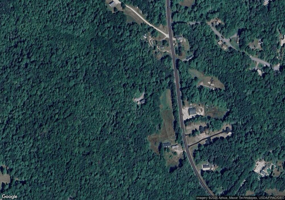
93 Durham Rd Freeport, ME 04032
Estimated Value: $539,431 - $897,000
3
Beds
2
Baths
1,734
Sq Ft
$386/Sq Ft
Est. Value
About This Home
This home is located at 93 Durham Rd, Freeport, ME 04032 and is currently estimated at $669,358, approximately $386 per square foot. 93 Durham Rd is a home with nearby schools including Morse Street School, Mast Landing School, and Freeport Middle School.
Create a Home Valuation Report for This Property
The Home Valuation Report is an in-depth analysis detailing your home's value as well as a comparison with similar homes in the area
Home Values in the Area
Average Home Value in this Area
Tax History
| Year | Tax Paid | Tax Assessment Tax Assessment Total Assessment is a certain percentage of the fair market value that is determined by local assessors to be the total taxable value of land and additions on the property. | Land | Improvement |
|---|---|---|---|---|
| 2025 | $5,228 | $377,500 | $162,300 | $215,200 |
| 2024 | $4,935 | $369,700 | $154,500 | $215,200 |
| 2023 | $4,503 | $327,500 | $140,500 | $187,000 |
| 2022 | $4,281 | $313,600 | $126,600 | $187,000 |
| 2021 | $4,187 | $313,600 | $126,600 | $187,000 |
| 2020 | $4,053 | $289,500 | $117,300 | $172,200 |
| 2019 | $3,875 | $271,000 | $110,700 | $160,300 |
| 2018 | $3,814 | $253,400 | $103,300 | $150,100 |
| 2017 | $3,651 | $244,200 | $101,000 | $143,200 |
| 2016 | $3,577 | $226,400 | $93,500 | $132,900 |
Source: Public Records
Map
Nearby Homes
Your Personal Tour Guide
Ask me questions while you tour the home.