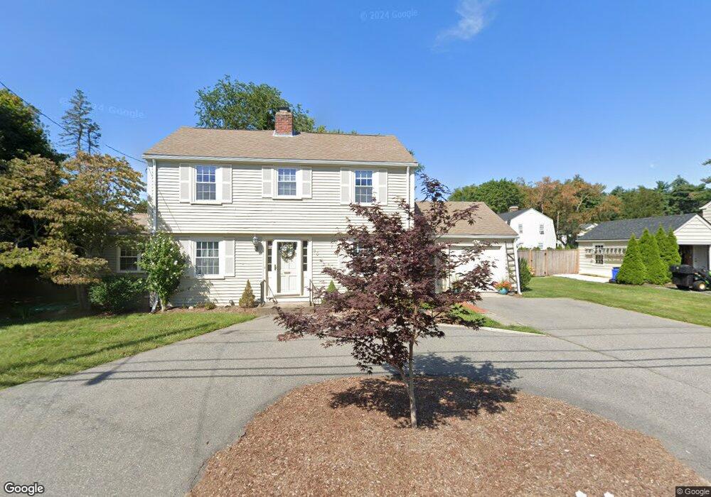
93 Massasoit Ave Barrington, RI 02806
Hampden Meadows NeighborhoodEstimated Value: $612,000 - $726,000
3
Beds
2
Baths
1,830
Sq Ft
$366/Sq Ft
Est. Value
About This Home
This home is located at 93 Massasoit Ave, Barrington, RI 02806 and is currently estimated at $670,066, approximately $366 per square foot. 93 Massasoit Ave is a home located in Bristol County with nearby schools including Barrington High School, Barrington Christian Academy, and St. Andrews School.
Ownership History
Date
Name
Owned For
Owner Type
Purchase Details
Closed on
Feb 11, 1994
Sold by
Blackmar Charles L and Blackmar Diane
Bought by
Sayegh Wissam A and Sayegh Leila
Current Estimated Value
Purchase Details
Closed on
Aug 5, 1991
Sold by
Colella Albert N
Bought by
Blackmar Charles L
Create a Home Valuation Report for This Property
The Home Valuation Report is an in-depth analysis detailing your home's value as well as a comparison with similar homes in the area
Home Values in the Area
Average Home Value in this Area
Purchase History
| Date | Buyer | Sale Price | Title Company |
|---|---|---|---|
| Sayegh Wissam A | $145,000 | -- | |
| Blackmar Charles L | $164,000 | -- | |
| Blackmar Charles L | $164,000 | -- |
Source: Public Records
Mortgage History
| Date | Status | Borrower | Loan Amount |
|---|---|---|---|
| Open | Blackmar Charles L | $230,000 | |
| Closed | Blackmar Charles L | $25,000 |
Source: Public Records
Tax History
| Year | Tax Paid | Tax Assessment Tax Assessment Total Assessment is a certain percentage of the fair market value that is determined by local assessors to be the total taxable value of land and additions on the property. | Land | Improvement |
|---|---|---|---|---|
| 2025 | $7,425 | $484,000 | $187,000 | $297,000 |
| 2024 | $7,139 | $484,000 | $187,000 | $297,000 |
| 2023 | $7,653 | $377,000 | $116,000 | $261,000 |
| 2022 | $7,408 | $377,000 | $116,000 | $261,000 |
| 2021 | $7,220 | $377,000 | $116,000 | $261,000 |
| 2020 | $6,751 | $323,000 | $101,000 | $222,000 |
| 2019 | $6,492 | $323,000 | $101,000 | $222,000 |
| 2018 | $6,299 | $323,000 | $101,000 | $222,000 |
| 2017 | $6,364 | $318,200 | $99,900 | $218,300 |
| 2016 | $5,871 | $318,200 | $99,900 | $218,300 |
| 2015 | $5,807 | $318,200 | $99,900 | $218,300 |
| 2014 | $5,128 | $280,200 | $119,900 | $160,300 |
Source: Public Records
Map
Nearby Homes
- 278 New Meadow Rd
- 26 Tiffany Cir
- 351 County Rd
- 3 Sullivan Terrace
- 205 Lincoln Ave
- 17 Briarwood Dr
- 53 Whipple Ave
- 15 George w Finnerty Rd
- 292 Sowams Rd
- 381 Maple Ave
- 20 Burr Ave
- 1705 Wampanoag Trail
- 6 Ledge Rd
- 20 Townsend St
- 9 Lillis Ave
- 0 Lillis Ave
- 11 Mathewson Rd
- 6 Hazelton Rd
- 45 Washington Rd
- 10 Jesse Davis Ln
- 89 Massasoit Ave
- 97 Massasoit Ave
- 2 Wamsutta Ave
- 6 Agawam Rd
- 1 Sachem Rd
- 96 Massasoit Ave
- 3 King Philip Ave
- 85 Massasoit Ave
- 8 Wamsutta Ave
- 105 Massasoit Ave
- 2 King Philip Ave
- 7 Agawam Rd
- 10 Agawam Rd
- 5 Sachem Rd
- 104 Massasoit Ave
- 9 King Philip Ave
- 6 King Philip Ave
- 11 Wamsutta Ave
- 4 Sachem Rd
- 107 Massasoit Ave
Your Personal Tour Guide
Ask me questions while you tour the home.