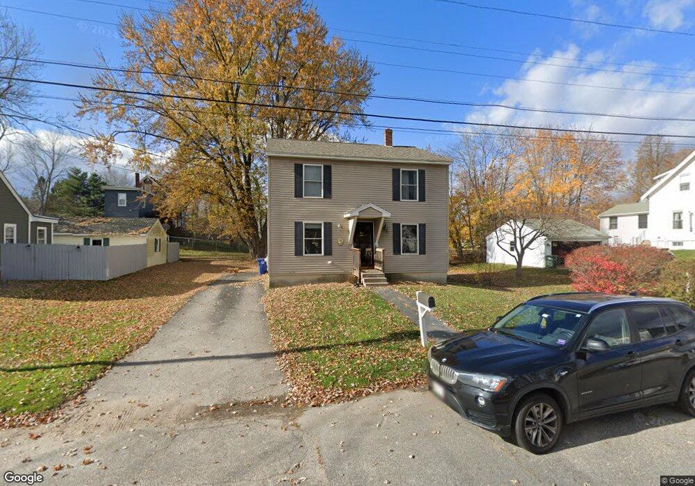
93 Mckinley Ave Westbrook, ME 04092
Estimated Value: $479,000 - $500,000
3
Beds
3
Baths
1,568
Sq Ft
$314/Sq Ft
Est. Value
About This Home
This home is located at 93 Mckinley Ave, Westbrook, ME 04092 and is currently estimated at $493,122, approximately $314 per square foot. 93 Mckinley Ave is a home located in Cumberland County with nearby schools including Westbrook High School, The Little Dolphin School Foundation, and Breakwater School.
Ownership History
Date
Name
Owned For
Owner Type
Purchase Details
Closed on
Jun 22, 2005
Sold by
Energy Homes Inc
Bought by
Seavey James and Seavey Heather
Current Estimated Value
Create a Home Valuation Report for This Property
The Home Valuation Report is an in-depth analysis detailing your home's value as well as a comparison with similar homes in the area
Home Values in the Area
Average Home Value in this Area
Purchase History
| Date | Buyer | Sale Price | Title Company |
|---|---|---|---|
| Seavey James | -- | -- |
Source: Public Records
Tax History Compared to Growth
Tax History
| Year | Tax Paid | Tax Assessment Tax Assessment Total Assessment is a certain percentage of the fair market value that is determined by local assessors to be the total taxable value of land and additions on the property. | Land | Improvement |
|---|---|---|---|---|
| 2023 | $4,597 | $275,600 | $78,900 | $196,700 |
| 2022 | $4,181 | $231,000 | $65,700 | $165,300 |
| 2021 | $4,119 | $231,000 | $65,700 | $165,300 |
| 2020 | $4,126 | $231,000 | $65,700 | $165,300 |
| 2019 | $4,126 | $231,000 | $65,700 | $165,300 |
| 2018 | $2,183 | $203,000 | $57,200 | $145,800 |
| 2017 | $3,833 | $203,000 | $57,200 | $145,800 |
| 2016 | $3,735 | $203,000 | $57,200 | $145,800 |
| 2015 | $3,646 | $203,000 | $57,200 | $145,800 |
| 2014 | $3,492 | $203,000 | $57,200 | $145,800 |
| 2013 | $3,492 | $203,000 | $57,200 | $145,800 |
Source: Public Records
Map
Nearby Homes
- 245 Spring St Unit 8
- 140 Spring St
- 77 Anderson Ave
- 94 Pennell St
- 154 Brackett St
- 124 Brackett St
- 40 Oakland Ave
- 186 Central St
- 18 Doyle St
- 500 Spring St
- 26 Cross St
- 31 Cross St
- 77 Mechanic St
- 17 Mechanic St
- 115 Saco St Unit 2
- 640 Main St
- 345 Saco St Unit 35
- 68 Huntress Ave Unit 2
- 141 Rochester St
- 11 New Gorham Rd