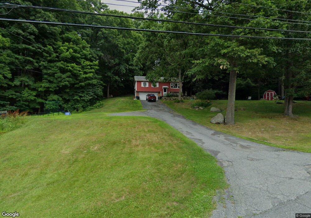
93 Townsend Terrace Lebanon, NH 03766
Estimated Value: $382,000 - $513,000
3
Beds
2
Baths
1,040
Sq Ft
$414/Sq Ft
Est. Value
About This Home
This home is located at 93 Townsend Terrace, Lebanon, NH 03766 and is currently estimated at $430,144, approximately $413 per square foot. 93 Townsend Terrace is a home located in Grafton County with nearby schools including Hanover Street School, Lebanon Middle School, and Lebanon High School.
Ownership History
Date
Name
Owned For
Owner Type
Purchase Details
Closed on
Jan 11, 2008
Sold by
Russell Stanley and Russell Barbara E
Bought by
Camp Bruce and Camp Jacqui
Current Estimated Value
Home Financials for this Owner
Home Financials are based on the most recent Mortgage that was taken out on this home.
Original Mortgage
$150,000
Outstanding Balance
$94,929
Interest Rate
6.21%
Mortgage Type
Purchase Money Mortgage
Estimated Equity
$335,215
Create a Home Valuation Report for This Property
The Home Valuation Report is an in-depth analysis detailing your home's value as well as a comparison with similar homes in the area
Home Values in the Area
Average Home Value in this Area
Purchase History
| Date | Buyer | Sale Price | Title Company |
|---|---|---|---|
| Camp Bruce | $190,000 | -- |
Source: Public Records
Mortgage History
| Date | Status | Borrower | Loan Amount |
|---|---|---|---|
| Open | Camp Bruce | $150,000 |
Source: Public Records
Tax History Compared to Growth
Tax History
| Year | Tax Paid | Tax Assessment Tax Assessment Total Assessment is a certain percentage of the fair market value that is determined by local assessors to be the total taxable value of land and additions on the property. | Land | Improvement |
|---|---|---|---|---|
| 2024 | $6,854 | $260,800 | $94,100 | $166,700 |
| 2023 | $6,332 | $260,800 | $94,100 | $166,700 |
| 2022 | $6,009 | $260,800 | $94,100 | $166,700 |
| 2021 | $5,706 | $211,500 | $61,800 | $149,700 |
| 2019 | $5,527 | $182,000 | $61,800 | $120,200 |
| 2018 | $5,409 | $182,000 | $61,800 | $120,200 |
| 2017 | $5,522 | $189,900 | $61,800 | $128,100 |
| 2016 | $5,342 | $189,900 | $61,800 | $128,100 |
| 2015 | $5,243 | $189,900 | $61,800 | $128,100 |
| 2014 | $4,760 | $181,200 | $58,800 | $122,400 |
| 2013 | $4,622 | $181,200 | $58,800 | $122,400 |
Source: Public Records
Map
Nearby Homes
- 20 Alden Rd
- 262 Dartmouth College Hwy
- 32 Bank St
- 16 Kimball St
- 25 Green St
- 26 Parkhurst St
- 510 Dartmouth College Hwy
- 430 Dartmouth College Hwy
- 0 Meriden Rd Unit 5065034
- 37 Water St
- 43 Water St Unit 45
- 20 Summer St
- 29 Mascoma St
- 24 Granite St
- 25 West St
- 49 Storrs Hill Rd
- 321 Meriden Rd
- 151 Sunset Rock Rd
- 154 Sunset Rock Rd
- 147 Etna Rd
- 101 Townsend Terrace
- 27 Dorothy Perley Rd
- 67 Townsend Terrace
- 32 Dorothy Perley Rd
- 35 Dorothy Perley Rd
- 34 Dorothy Perley Rd
- 31 Dorothy Perley Rd
- 10 Colby Ave
- 22 Dorothy Perley Rd
- 223 Bank Street Extension
- 225 Bank Street Extension
- 221 Bank Street Extension
- 243 Bank Street Extension
- 38 Dorothy Perley Rd
- 61 Townsend Terrace
- 245 Bank Street Extension
- 3 Colby Ave
- 219 Bank Street Extension
- 241 Bank Street Extension
- 253 Bank Street Extension