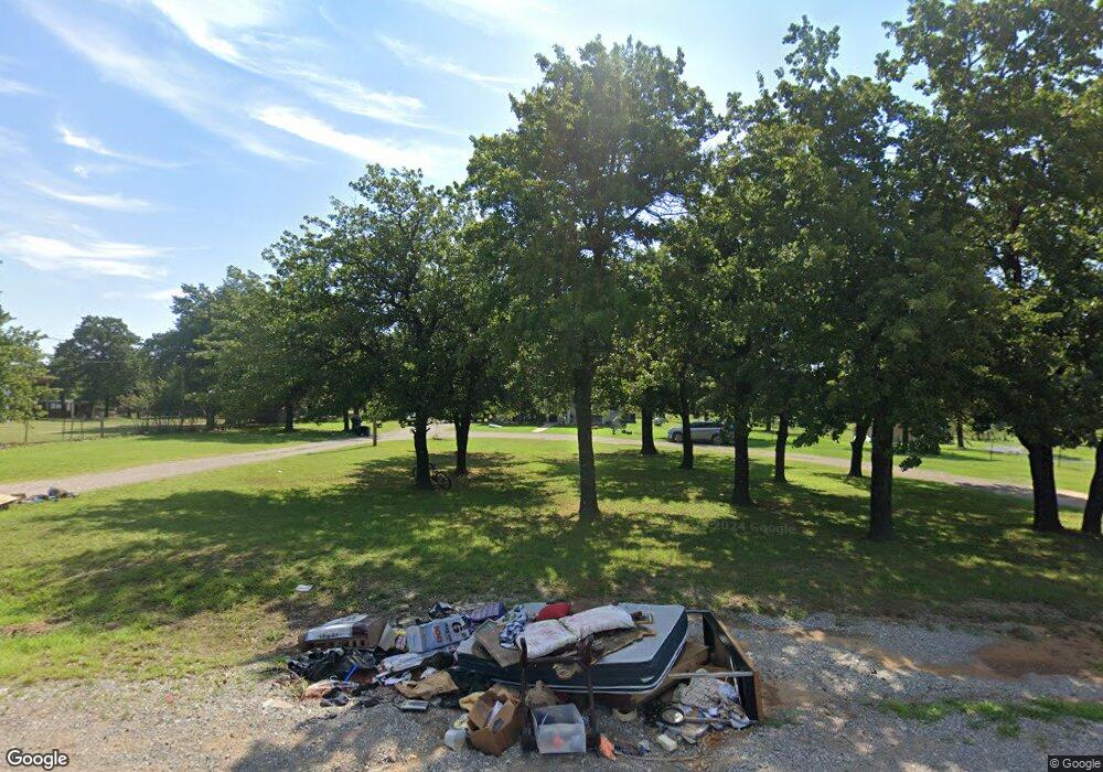
9300 McDonald Rd Newalla, OK 74857
Estimated Value: $285,000 - $534,478
5
Beds
3
Baths
2,070
Sq Ft
$180/Sq Ft
Est. Value
About This Home
This home is located at 9300 McDonald Rd, Newalla, OK 74857 and is currently estimated at $371,870, approximately $179 per square foot. 9300 McDonald Rd is a home located in Cleveland County with nearby schools including McLoud Intermediate School, McLoud Elementary School, and McLoud Junior High School.
Ownership History
Date
Name
Owned For
Owner Type
Purchase Details
Closed on
Jul 8, 2024
Sold by
Clark Michael R and Clark Phyllis E
Bought by
Clark Christopher and Clark Rachel
Current Estimated Value
Home Financials for this Owner
Home Financials are based on the most recent Mortgage that was taken out on this home.
Original Mortgage
$228,087
Outstanding Balance
$225,337
Interest Rate
6.94%
Mortgage Type
FHA
Estimated Equity
$146,534
Create a Home Valuation Report for This Property
The Home Valuation Report is an in-depth analysis detailing your home's value as well as a comparison with similar homes in the area
Home Values in the Area
Average Home Value in this Area
Purchase History
| Date | Buyer | Sale Price | Title Company |
|---|---|---|---|
| Clark Christopher | $500,000 | Chicago Title |
Source: Public Records
Mortgage History
| Date | Status | Borrower | Loan Amount |
|---|---|---|---|
| Open | Clark Christopher | $228,087 |
Source: Public Records
Tax History Compared to Growth
Tax History
| Year | Tax Paid | Tax Assessment Tax Assessment Total Assessment is a certain percentage of the fair market value that is determined by local assessors to be the total taxable value of land and additions on the property. | Land | Improvement |
|---|---|---|---|---|
| 2024 | $1,123 | $11,506 | $1,042 | $10,464 |
| 2023 | $1,089 | $11,171 | $1,103 | $10,068 |
| 2022 | $1,062 | $10,845 | $1,056 | $9,789 |
| 2021 | $1,285 | $10,529 | $1,059 | $9,470 |
| 2020 | $993 | $10,223 | $1,033 | $9,190 |
| 2019 | $990 | $9,925 | $517 | $9,408 |
| 2018 | $1,008 | $9,636 | $1,206 | $8,430 |
| 2017 | $1,018 | $9,636 | $0 | $0 |
| 2016 | $922 | $9,636 | $1,206 | $8,430 |
| 2015 | $942 | $9,636 | $1,206 | $8,430 |
| 2014 | $938 | $9,636 | $1,206 | $8,430 |
Source: Public Records
Map
Nearby Homes
- 9117 S Dobbs Rd
- 9209 Hazy Brook Dr
- 9000 Sleepy Hollow Dr
- 20401 Misty Glen Dr
- 9025 Hollow Rd
- 9000 Hollow Rd
- 29049 Oilfield Trash Dr
- 18220 SE 95th St
- 0 SE 97th Place
- 21301 SE 103rd St
- 9500 Megans Way
- 21608 SE 95th St
- 12201 Tamewood Dr
- 3307 S Dobbs Rd
- 3305 S Dobbs Rd
- 2501 SE 119th St
- 12720 S Peebly Rd
- 12724 S Peebly Rd
- 12720 S Peebly Rd Unit Tract4
- 12724 S Peebly Rd Unit Tract1B
- 9220 McDonald Rd
- 9312 McDonald Rd
- 9200 McDonald Rd
- 9400 McDonald Rd
- 19501 Rockspring Dr
- 9124 McDonald Rd
- 9112 McDonald Rd
- 9217 Melin Rd
- 19428 Rock Springs Rd
- 19429 Rockspring Dr
- 9201 Melin Rd
- 19429 Rock Springs Rd
- 19601 SE 95th St
- 19800 SE 92nd St
- 19416 Rock Springs Rd
- 19416 Rockspring Dr
- 19717 SE 95th St
- 19417 Rock Springs Rd
- 9501 McDonald Rd
- 9000 McDonald Rd
