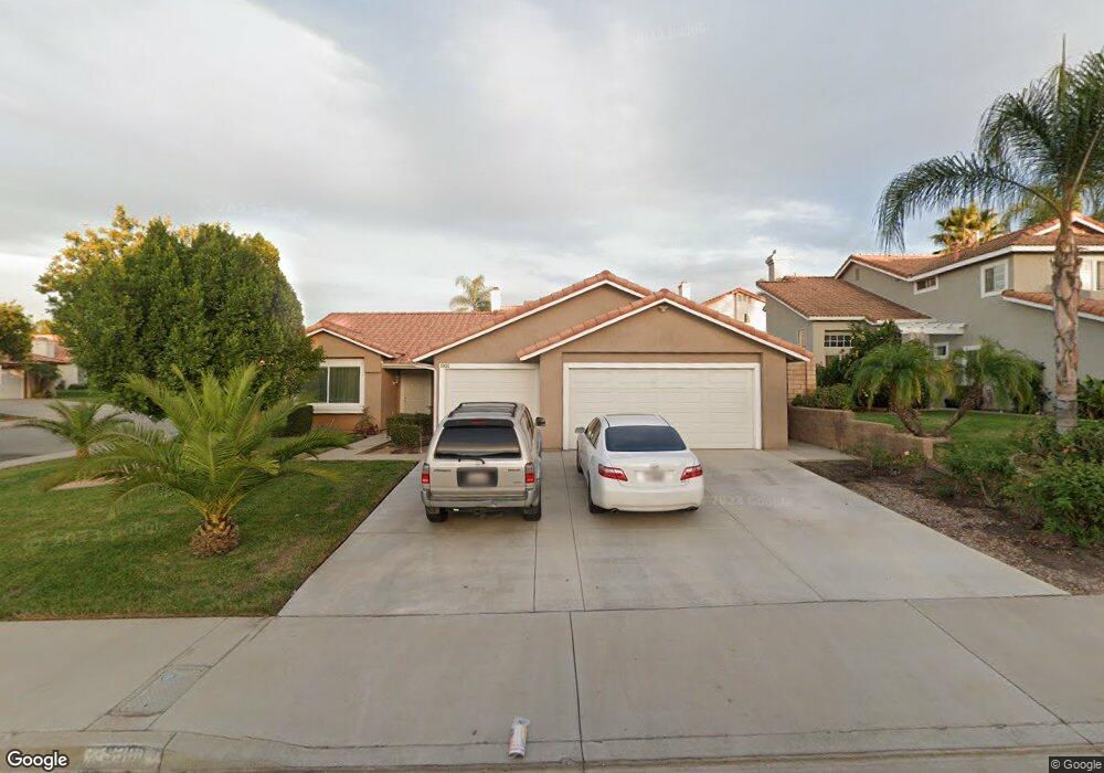
9300 Sunridge Dr Riverside, CA 92508
Orangecrest NeighborhoodEstimated Value: $618,934 - $680,000
3
Beds
2
Baths
1,541
Sq Ft
$423/Sq Ft
Est. Value
About This Home
This home is located at 9300 Sunridge Dr, Riverside, CA 92508 and is currently estimated at $651,484, approximately $422 per square foot. 9300 Sunridge Dr is a home located in Riverside County with nearby schools including Mark Twain Elementary School, Frank Augustus Miller Middle School, and Martin Luther King Junior High School.
Ownership History
Date
Name
Owned For
Owner Type
Purchase Details
Closed on
Jul 8, 1999
Sold by
Giambone Margaret L
Bought by
Solis Allan and Claudio Methusheila
Current Estimated Value
Home Financials for this Owner
Home Financials are based on the most recent Mortgage that was taken out on this home.
Original Mortgage
$155,942
Interest Rate
7.47%
Mortgage Type
FHA
Create a Home Valuation Report for This Property
The Home Valuation Report is an in-depth analysis detailing your home's value as well as a comparison with similar homes in the area
Home Values in the Area
Average Home Value in this Area
Purchase History
| Date | Buyer | Sale Price | Title Company |
|---|---|---|---|
| Solis Allan | $158,000 | First American Title Co |
Source: Public Records
Mortgage History
| Date | Status | Borrower | Loan Amount |
|---|---|---|---|
| Previous Owner | Solis Allan | $155,942 |
Source: Public Records
Tax History
| Year | Tax Paid | Tax Assessment Tax Assessment Total Assessment is a certain percentage of the fair market value that is determined by local assessors to be the total taxable value of land and additions on the property. | Land | Improvement |
|---|---|---|---|---|
| 2025 | $2,662 | $242,810 | $61,463 | $181,347 |
| 2023 | $2,662 | $233,383 | $59,077 | $174,306 |
| 2022 | $2,601 | $228,808 | $57,919 | $170,889 |
| 2021 | $2,575 | $224,323 | $56,784 | $167,539 |
| 2020 | $2,556 | $222,024 | $56,202 | $165,822 |
| 2019 | $2,509 | $217,671 | $55,100 | $162,571 |
| 2018 | $2,461 | $213,404 | $54,020 | $159,384 |
| 2017 | $2,418 | $209,220 | $52,961 | $156,259 |
| 2016 | $2,265 | $205,119 | $51,923 | $153,196 |
| 2015 | $2,232 | $202,040 | $51,144 | $150,896 |
| 2014 | $2,282 | $198,085 | $50,144 | $147,941 |
Source: Public Records
Map
Nearby Homes
- 9334 Meadow Ln
- 19320 Totem Ct
- 9560 Glenmore Forest Dr
- 9565 Glenmore Forest Dr
- 9535 Silverstein Dr
- 9558 Silverstein Dr
- 9551 Silverstein Dr
- 19105 Laurelhurst Ave
- 9567 Silverstein Dr
- 9583 Silverstein Dr
- 9130 Ewing Cir
- 19097 Laurelhurst Ave
- 19140 El Gallo St
- 9605 Bonsai Ln
- 19201 El Gallo St
- 19530 Chinotto Ln
- 19540 Chinotto Ln
- 9611 Babaco St
- 9619 Babaco St
- 9610 Babaco St
- 9304 Sunridge Dr
- 19134 Cherish Ct
- 19138 Cherish Ct
- 9308 Sunridge Dr
- 19105 Cherish Ct
- 19111 Cherish Ct
- 19142 Cherish Ct
- 9301 Sunridge Dr
- 9265 Sunridge Dr
- 19117 Cherish Ct
- 9305 Sunridge Dr
- 9314 Sunridge Dr
- 9261 Sunridge Dr
- 9309 Sunridge Dr
- 19121 Cherish Ct
- 19146 Cherish Ct
- 9257 Sunridge Dr
- 9296 Stephanie St
- 9320 Sunridge Dr
- 9290 Stephanie St
Your Personal Tour Guide
Ask me questions while you tour the home.