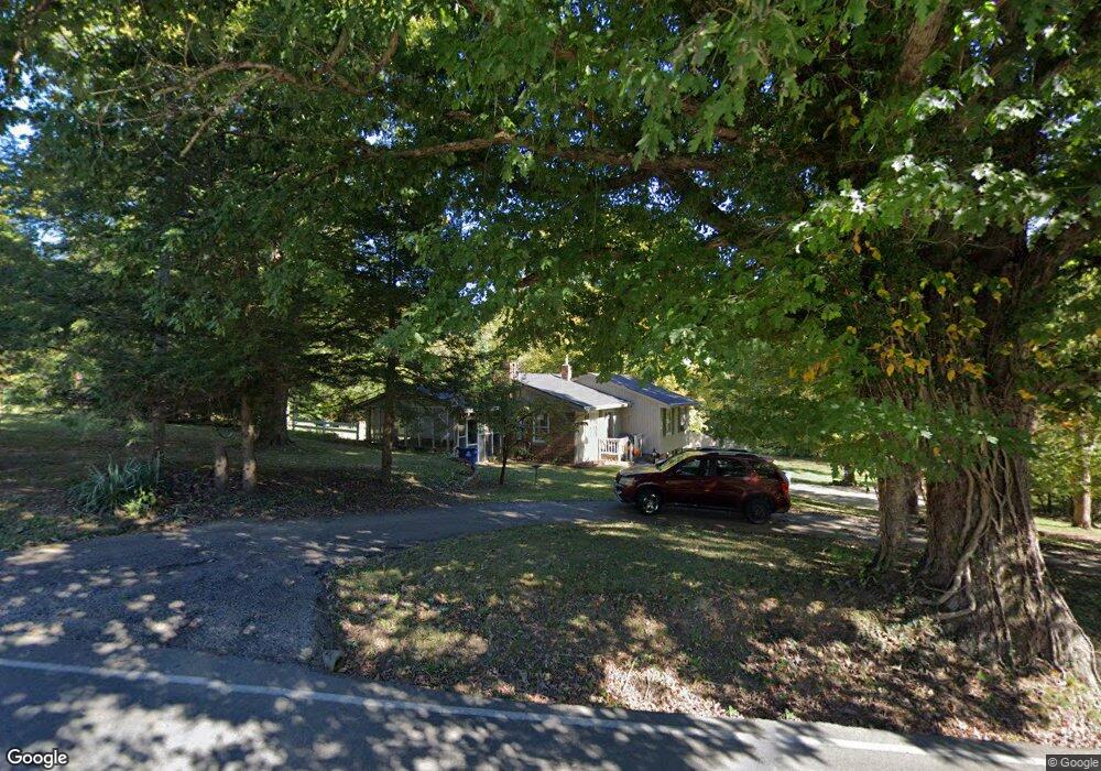
9301 Pennsylvania Run Rd Louisville, KY 40228
Estimated Value: $242,000 - $324,000
--
Bed
1
Bath
1,168
Sq Ft
$233/Sq Ft
Est. Value
About This Home
This home is located at 9301 Pennsylvania Run Rd, Louisville, KY 40228 and is currently estimated at $272,495, approximately $233 per square foot. 9301 Pennsylvania Run Rd is a home located in Jefferson County with nearby schools including Wilt Elementary School, Bates Elementary School, and Price Elementary School.
Ownership History
Date
Name
Owned For
Owner Type
Purchase Details
Closed on
Aug 20, 2017
Sold by
Fisher Rogers Cynthia Gale and Rogers Wallace E
Bought by
Fisher Michael Glenn and Fisher Patricia
Current Estimated Value
Home Financials for this Owner
Home Financials are based on the most recent Mortgage that was taken out on this home.
Original Mortgage
$50,000
Interest Rate
3.93%
Mortgage Type
Future Advance Clause Open End Mortgage
Create a Home Valuation Report for This Property
The Home Valuation Report is an in-depth analysis detailing your home's value as well as a comparison with similar homes in the area
Home Values in the Area
Average Home Value in this Area
Purchase History
| Date | Buyer | Sale Price | Title Company |
|---|---|---|---|
| Fisher Michael Glenn | $50,000 | None Available |
Source: Public Records
Mortgage History
| Date | Status | Borrower | Loan Amount |
|---|---|---|---|
| Closed | Fisher Michael Glenn | $50,000 |
Source: Public Records
Tax History Compared to Growth
Tax History
| Year | Tax Paid | Tax Assessment Tax Assessment Total Assessment is a certain percentage of the fair market value that is determined by local assessors to be the total taxable value of land and additions on the property. | Land | Improvement |
|---|---|---|---|---|
| 2024 | $2,584 | $225,720 | $110,550 | $115,170 |
| 2023 | $2,659 | $225,720 | $110,550 | $115,170 |
| 2022 | $2,668 | $186,660 | $98,870 | $87,790 |
| 2021 | $2,380 | $186,660 | $98,870 | $87,790 |
| 2020 | $2,216 | $186,660 | $98,870 | $87,790 |
| 2019 | $2,023 | $186,660 | $98,870 | $87,790 |
| 2018 | $1,998 | $186,660 | $98,870 | $87,790 |
| 2017 | $1,959 | $186,660 | $98,870 | $87,790 |
| 2013 | $1,535 | $153,450 | $77,350 | $76,100 |
Source: Public Records
Map
Nearby Homes
- 9000 John Paul Ct
- 6505 Cooper Chapel Rd
- 6514 Park Club Cir Unit 6514
- 9601 McNeely Lake Dr Unit 9601
- 6501 Park Gate Ct
- 7505 Astrid Way
- 9011 Lantana Dr
- 8702 Pitch Pine Way
- 8814 Old Ironsides Dr
- 8115 Arbor Brook Ln Unit 81
- 9807 Spring Pointe Ct
- 9304 New Maple Rd
- 6217 Hackberry Way
- 6117 Toebbe Ln
- 6113 Chambers Way
- 10403 Cedar Meadows Ct
- Harmony Plan at Cedar Brook
- Chatham Plan at Cedar Brook
- Henley Plan at Cedar Brook
- STAMFORD Plan at Cedar Brook
- 9213 Pennsylvania Run Rd
- 9220 Pennsylvania Run Rd
- 7017 Cooper Chapel Rd
- 9205 Pennsylvania Run Rd
- 9210 Pennsylvania Run Rd
- 9209 Pennsylvania Run Rd
- 9204 Pennsylvania Run Rd
- 9204 Pennsylvania Run Rd Unit R
- 7005 Cooper Chapel Rd
- 9201 Pennsylvania Run Rd
- 7203 Cooper Chapel Rd
- 9109 Pennsylvania Run Rd
- 7215 Cooper Chapel Rd
- 9107 Pennsylvania Run Rd
- 7209 Cooper Chapel Rd
- 9105 Pennsylvania Run Rd
- 9103 Pennsylvania Run Rd
- 9104 Pennsylvania Run Rd
- 9101 Pennsylvania Run Rd
- 8915 Pennsylvania Run Rd