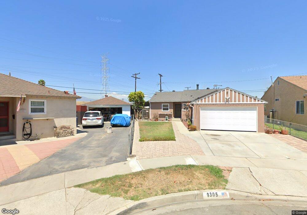
9305 Colfair St Pico Rivera, CA 90660
Estimated Value: $696,061 - $771,000
3
Beds
1
Bath
1,143
Sq Ft
$645/Sq Ft
Est. Value
About This Home
This home is located at 9305 Colfair St, Pico Rivera, CA 90660 and is currently estimated at $737,015, approximately $644 per square foot. 9305 Colfair St is a home located in Los Angeles County with nearby schools including Durfee Elementary School, North Park Middle School, and Ruben Salazar Continuation School.
Ownership History
Date
Name
Owned For
Owner Type
Purchase Details
Closed on
May 9, 2012
Sold by
Lozano Robert
Bought by
Lozano Robert and The Lozano Family Trust
Current Estimated Value
Purchase Details
Closed on
Jul 14, 1998
Sold by
Lozano Robert and Lozano Irene
Bought by
Lozano Robert
Home Financials for this Owner
Home Financials are based on the most recent Mortgage that was taken out on this home.
Original Mortgage
$30,000
Outstanding Balance
$6,407
Interest Rate
7.5%
Mortgage Type
Credit Line Revolving
Estimated Equity
$730,608
Create a Home Valuation Report for This Property
The Home Valuation Report is an in-depth analysis detailing your home's value as well as a comparison with similar homes in the area
Home Values in the Area
Average Home Value in this Area
Purchase History
| Date | Buyer | Sale Price | Title Company |
|---|---|---|---|
| Lozano Robert | -- | None Available | |
| Lozano Robert | -- | Orange Coast Title |
Source: Public Records
Mortgage History
| Date | Status | Borrower | Loan Amount |
|---|---|---|---|
| Open | Lozano Robert | $30,000 |
Source: Public Records
Tax History Compared to Growth
Tax History
| Year | Tax Paid | Tax Assessment Tax Assessment Total Assessment is a certain percentage of the fair market value that is determined by local assessors to be the total taxable value of land and additions on the property. | Land | Improvement |
|---|---|---|---|---|
| 2025 | $2,299 | $118,899 | $41,195 | $77,704 |
| 2024 | $2,299 | $116,569 | $40,388 | $76,181 |
| 2023 | $2,238 | $114,285 | $39,597 | $74,688 |
| 2022 | $2,144 | $112,045 | $38,821 | $73,224 |
| 2021 | $2,050 | $109,849 | $38,060 | $71,789 |
| 2019 | $2,020 | $106,592 | $36,932 | $69,660 |
| 2018 | $1,836 | $104,503 | $36,208 | $68,295 |
| 2016 | $1,671 | $100,447 | $34,803 | $65,644 |
| 2015 | $1,647 | $98,939 | $34,281 | $64,658 |
| 2014 | $1,635 | $97,002 | $33,610 | $63,392 |
Source: Public Records
Map
Nearby Homes
- 3602 Greenglade Ave
- 3509 Greenglade Ave
- 3956 Amistad Ave
- 3729 Saratoga St
- 4044 Rosemead Blvd Unit 54
- 4203 Deland Ave
- 9900 Tagus St Unit 17
- 0 San Gabriel River Pkwy
- 4134 Maris Ave
- 8939 Gallatin Rd Unit 71
- 4127 Maris Ave
- 8642 Beverly Blvd
- 8554 Beverly Blvd
- 8540 Beverly Blvd
- 9408 Beverly Rd
- 8717 Tilmont Ave
- 8509 Beverly Blvd
- 8509 Beverly Blvd Unit 121
- 5523 Pioneer Blvd Unit 30
- 4512 Workman Mill Rd Unit 215
- 9309 Colfair St
- 9301 Colfair St
- 3541 Chapelle Ave
- 3537 Chapelle Ave
- 9300 Colfair St
- 9321 Colfair St
- 3533 Chapelle Ave
- 9308 Colfair St
- 9304 Colfair St
- 9312 Colfair St
- 9300 Agar Place
- 9325 Colfair St
- 9318 Colfair St
- 3529 Chapelle Ave
- 9304 Agar Place
- 9322 Colfair St
- 9329 Colfair St
- 3610 Gangel Ave
- 3523 Chapelle Ave
- 3605 Chapelle Ave