9305 Commons Place Unit 22 Anchorage, AK 99502
Sand Lake NeighborhoodEstimated Value: $156,000 - $317,026
3
Beds
2
Baths
1,302
Sq Ft
$198/Sq Ft
Est. Value
About This Home
This home is located at 9305 Commons Place Unit 22, Anchorage, AK 99502 and is currently estimated at $258,342, approximately $198 per square foot. 9305 Commons Place Unit 22 is a home located in Anchorage Municipality with nearby schools including Kincaid Elementary, Mears Middle School, and Dimond High School.
Ownership History
Date
Name
Owned For
Owner Type
Purchase Details
Closed on
Aug 13, 2015
Sold by
Millican Thomas N and Millican Tracy A
Bought by
Isaacs Brandon M
Current Estimated Value
Home Financials for this Owner
Home Financials are based on the most recent Mortgage that was taken out on this home.
Original Mortgage
$211,007
Interest Rate
3.87%
Mortgage Type
FHA
Purchase Details
Closed on
Feb 25, 2009
Sold by
Lexer Marsa C
Bought by
Millican Thomas N and Millican Tracy A
Home Financials for this Owner
Home Financials are based on the most recent Mortgage that was taken out on this home.
Original Mortgage
$162,400
Interest Rate
4.91%
Mortgage Type
Purchase Money Mortgage
Purchase Details
Closed on
Jan 13, 2005
Sold by
Knd Investments Ltd
Bought by
David Suzannette C
Home Financials for this Owner
Home Financials are based on the most recent Mortgage that was taken out on this home.
Original Mortgage
$185,627
Interest Rate
5.8%
Mortgage Type
FHA
Create a Home Valuation Report for This Property
The Home Valuation Report is an in-depth analysis detailing your home's value as well as a comparison with similar homes in the area
Home Values in the Area
Average Home Value in this Area
Purchase History
| Date | Buyer | Sale Price | Title Company |
|---|---|---|---|
| Isaacs Brandon M | -- | Atga | |
| Millican Thomas N | -- | United Title | |
| David Suzannette C | -- | Security Title Agency Of Ala |
Source: Public Records
Mortgage History
| Date | Status | Borrower | Loan Amount |
|---|---|---|---|
| Previous Owner | Isaacs Brandon M | $211,007 | |
| Previous Owner | Millican Thomas N | $162,400 | |
| Previous Owner | David Suzannette C | $185,627 |
Source: Public Records
Tax History Compared to Growth
Tax History
| Year | Tax Paid | Tax Assessment Tax Assessment Total Assessment is a certain percentage of the fair market value that is determined by local assessors to be the total taxable value of land and additions on the property. | Land | Improvement |
|---|---|---|---|---|
| 2025 | $4,141 | $264,600 | -- | $264,600 |
| 2024 | $4,141 | $256,500 | $0 | $256,500 |
| 2023 | $3,992 | $234,400 | $0 | $234,400 |
| 2022 | $3,949 | $234,500 | $0 | $234,500 |
| 2021 | $3,970 | $220,300 | $0 | $220,300 |
| 2020 | $3,283 | $193,100 | $0 | $193,100 |
| 2019 | $3,324 | $203,200 | $0 | $203,200 |
| 2018 | $3,526 | $215,000 | $0 | $215,000 |
| 2017 | $3,520 | $224,800 | $0 | $224,800 |
| 2016 | $3,019 | $221,000 | $0 | $221,000 |
| 2015 | $3,019 | $221,300 | $0 | $221,300 |
| 2014 | $3,019 | $196,300 | $0 | $196,300 |
Source: Public Records
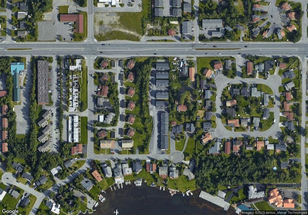
Map
Nearby Homes
- 9336 Blackberry St Unit 5
- 3461 Red Rock Ct
- 2923 Kingfisher Dr
- Lot 8 Quartz Cir
- 3769 Quartz Cir
- L11 Quartz Cir
- L13 Quartz Cir
- L09 B2 Dewberry St
- L10 B2 Dewberry St
- L9-10 B2 Dewberry St
- 9630 Arlene Dr
- 9300 Arlene Dr Unit 219
- 3806 N Point Cir
- 8641 Blackberry St Unit 19B
- 9520 Albatross Dr
- L7 Molanary Dr
- L8 Molanary Dr
- L3 Molanary Dr
- 4032 Hale Ct
- 9122 Lakehurst Dr
- 9305 Commons Place Unit 22
- 9303 Commons Place Unit 21
- 9305 Commons Place Unit 25
- 9307 Commons Place Unit 26
- 9303 Commons Place Unit 24
- 9307 Commons Place Unit 23
- 9307 Commons Place
- 000 Commons Place Unit 9
- 000 Commons Place Unit 32
- 000 Commons Place Unit 26
- 000 Commons Place Unit 19
- 000 Commons Place Unit 16
- 000 Commons Place Unit 13
- 000 Commons Place Unit 14
- 000 Commons Place Unit 8
- 000 Commons Place Unit 5
- 000 Commons Place Unit 30
- 000 Commons Place Unit 1
- 000 Commons Place Unit 31
- 000 Commons Place Unit 29