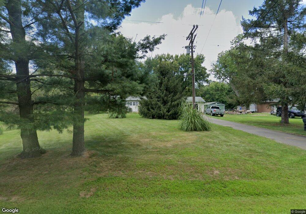
9305 I Dr S Ceresco, MI 49033
Estimated Value: $244,877 - $321,000
3
Beds
1
Bath
1,152
Sq Ft
$242/Sq Ft
Est. Value
About This Home
This home is located at 9305 I Dr S, Ceresco, MI 49033 and is currently estimated at $278,969, approximately $242 per square foot. 9305 I Dr S is a home located in Calhoun County with nearby schools including Harper Creek Middle School and Harper Creek High School.
Ownership History
Date
Name
Owned For
Owner Type
Purchase Details
Closed on
Sep 1, 2022
Sold by
Kurzawski Michael L and Kurzawski Stephanie
Bought by
Kurzawski Michael L and Kurzawski Stephanie
Current Estimated Value
Purchase Details
Closed on
Aug 9, 2004
Sold by
Kurzawski Barbara
Bought by
Kurzawski Michael L
Purchase Details
Closed on
Oct 23, 1998
Sold by
Eddy Steven P and Eddy Mary A
Bought by
Kurzawski Michael and Kurzawski Barbara
Purchase Details
Closed on
Sep 14, 1990
Bought by
Eddy
Purchase Details
Closed on
May 14, 1988
Bought by
Kelly
Purchase Details
Closed on
Nov 19, 1987
Bought by
Cole
Purchase Details
Closed on
Jun 14, 1985
Bought by
Lawcock
Create a Home Valuation Report for This Property
The Home Valuation Report is an in-depth analysis detailing your home's value as well as a comparison with similar homes in the area
Home Values in the Area
Average Home Value in this Area
Purchase History
| Date | Buyer | Sale Price | Title Company |
|---|---|---|---|
| Kurzawski Michael L | -- | -- | |
| Kurzawski Michael L | -- | -- | |
| Kurzawski Michael | $98,500 | -- | |
| Eddy | $64,000 | -- | |
| Kelly | $52,900 | -- | |
| Cole | -- | -- | |
| Lawcock | $50,000 | -- |
Source: Public Records
Tax History Compared to Growth
Tax History
| Year | Tax Paid | Tax Assessment Tax Assessment Total Assessment is a certain percentage of the fair market value that is determined by local assessors to be the total taxable value of land and additions on the property. | Land | Improvement |
|---|---|---|---|---|
| 2025 | $2,712 | $111,500 | $0 | $0 |
| 2024 | $1,738 | $87,500 | $0 | $0 |
| 2023 | $2,185 | $80,700 | $0 | $0 |
| 2022 | $2,185 | $77,200 | $0 | $0 |
| 2021 | $2,198 | $74,000 | $0 | $0 |
| 2020 | $2,154 | $69,400 | $0 | $0 |
| 2019 | $0 | $67,600 | $0 | $0 |
| 2018 | $0 | $64,100 | $8,900 | $55,200 |
| 2017 | $0 | $60,500 | $0 | $0 |
| 2016 | $0 | $59,200 | $0 | $0 |
| 2015 | -- | $60,100 | $14,901 | $45,199 |
| 2014 | -- | $74,300 | $14,901 | $59,399 |
Source: Public Records
Map
Nearby Homes
- 9304 I Dr S
- V/L 10 Mile Rd
- 6703 Oak Grove Rd
- 8295 D Dr S
- 10660 D Dr S
- 11445 F Dr S
- 10047 11 Mile Rd
- 6075 K Dr S
- 11506 11 Mile Rd
- 5055 12 1 2 Mile Rd
- 4850 H Dr S
- 3311 8 1 2 Mile Rd
- 8934 5 Mile Rd
- 11349 6 Mile Rd
- 14 Blue Stone Ridge
- 12460 Beadle Lake Rd
- 6185 Willow Run Dr
- 5555 Capital Ave SW
- 315 E Leroy St
- 325 E Leroy St