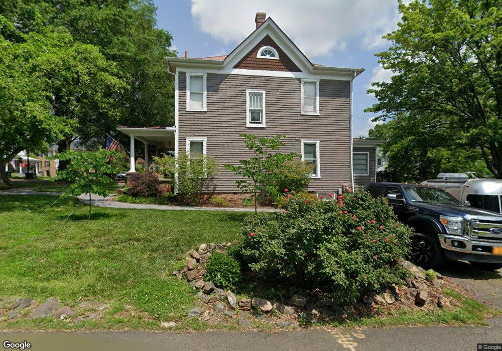
9305 Prescott Ave Manassas, VA 20110
Old Town Manassas NeighborhoodEstimated Value: $574,000 - $766,000
4
Beds
2
Baths
1,680
Sq Ft
$384/Sq Ft
Est. Value
About This Home
This home is located at 9305 Prescott Ave, Manassas, VA 20110 and is currently estimated at $644,292, approximately $383 per square foot. 9305 Prescott Ave is a home located in Manassas City with nearby schools including Jennie Dean Elementary School, Mayfield Intermediate School, and Grace E. Metz Middle School.
Ownership History
Date
Name
Owned For
Owner Type
Purchase Details
Closed on
Mar 31, 2011
Sold by
Gordon Teresa J and Ashline Craig C
Bought by
Ward Jonathan E
Current Estimated Value
Home Financials for this Owner
Home Financials are based on the most recent Mortgage that was taken out on this home.
Original Mortgage
$337,095
Outstanding Balance
$229,276
Interest Rate
4.5%
Mortgage Type
VA
Estimated Equity
$415,016
Create a Home Valuation Report for This Property
The Home Valuation Report is an in-depth analysis detailing your home's value as well as a comparison with similar homes in the area
Home Values in the Area
Average Home Value in this Area
Purchase History
| Date | Buyer | Sale Price | Title Company |
|---|---|---|---|
| Ward Jonathan E | $345,000 | First American Title Ins Co |
Source: Public Records
Mortgage History
| Date | Status | Borrower | Loan Amount |
|---|---|---|---|
| Open | Ward Jonathan E | $337,095 |
Source: Public Records
Tax History Compared to Growth
Tax History
| Year | Tax Paid | Tax Assessment Tax Assessment Total Assessment is a certain percentage of the fair market value that is determined by local assessors to be the total taxable value of land and additions on the property. | Land | Improvement |
|---|---|---|---|---|
| 2024 | $6,402 | $508,100 | $178,500 | $329,600 |
| 2023 | $6,175 | $490,100 | $173,500 | $316,600 |
| 2022 | $6,059 | $451,500 | $151,000 | $300,500 |
| 2021 | $5,880 | $411,500 | $135,000 | $276,500 |
| 2020 | $5,833 | $399,500 | $131,000 | $268,500 |
| 2019 | $5,735 | $387,500 | $127,000 | $260,500 |
| 2018 | $5,345 | $366,100 | $121,000 | $245,100 |
| 2017 | -- | $355,700 | $121,000 | $234,700 |
| 2016 | $4,922 | $350,800 | $0 | $0 |
| 2015 | -- | $348,800 | $121,000 | $227,800 |
| 2014 | -- | $0 | $0 | $0 |
Source: Public Records
Map
Nearby Homes
- 8941 Quarry Rd
- Hudson Plan at Independent Hill - Independent Hill Single-Family Homes
- Seneca Plan at Independent Hill - Independent Hill Single-Family Homes
- Lehigh Plan at Independent Hill - Independent Hill Single-Family Homes
- McPherson Grand - End Unit Plan at Independent Hill - Independent Hill Townhomes
- Schubert Plan at Independent Hill - Independent Hill Townhomes
- 8393 Buttress Ln Unit 101
- 9576 Jayhawk Terrace Unit 401
- 8385 Buttress Ln Unit 103
- 9554 Cannoneer Ct Unit 101
- 9552 Cannoneer Ct Unit 204
- 9105 Ewell St
- 9680 Swallowtail Ln
- 9665 Swallowtail Ln
- Harrington Plan at Ashberry
- Wentworth Plan at Ashberry
- 8503 Clearridge Ln
- 9669 Swallowtail Ln
- 9204 Douglas St
- 9623 Grant Ave
- 9303 Prescott Ave
- 9307 Prescott Ave
- 8809 Quarry Rd
- 9301 Prescott Ave
- 9304 Prescott Ave
- 8807 Quarry Rd
- 9302 Prescott Ave
- 9309 Prescott Ave
- 9300 Prescott Ave
- 8805 Quarry Rd
- 9306 Prescott Ave
- 8882 Quarry Rd
- 8894 Quarry Rd
- 8890 Quarry Rd
- 8886 Quarry Rd
- 8900 Center St
- 9311 Prescott Ave
- 8898 Center St
- 9215 Prescott Ave
- 8806 Quarry Rd