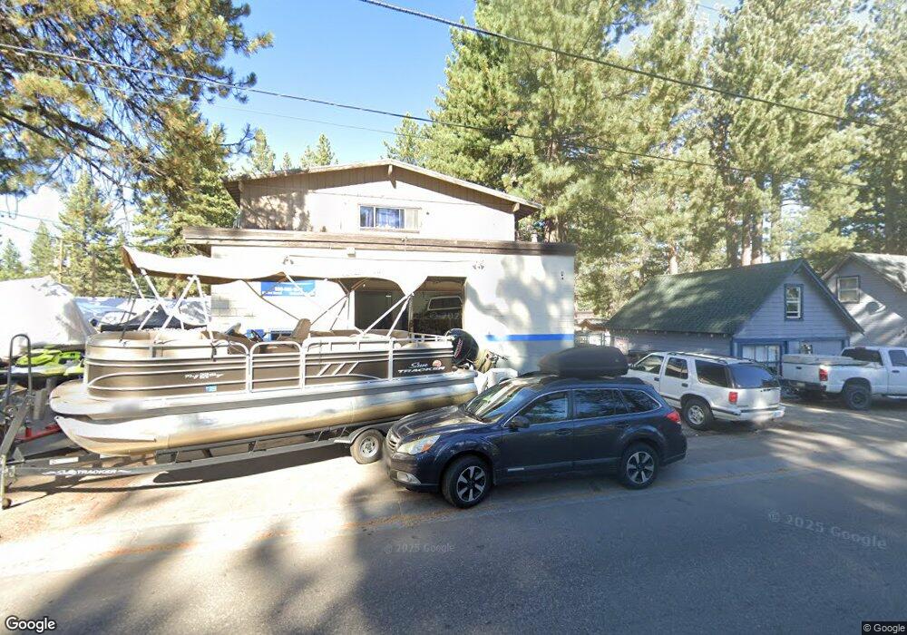
931 3rd St South Lake Tahoe, CA 96150
Estimated Value: $812,382
2
Beds
2
Baths
3,384
Sq Ft
$240/Sq Ft
Est. Value
About This Home
This home is located at 931 3rd St, South Lake Tahoe, CA 96150 and is currently estimated at $812,382, approximately $240 per square foot. 931 3rd St is a home located in El Dorado County with nearby schools including Tahoe Valley Elementary School, South Tahoe Middle School, and South Tahoe High School.
Ownership History
Date
Name
Owned For
Owner Type
Purchase Details
Closed on
Aug 8, 2013
Sold by
Wood Kenneth R
Bought by
Wood Kenneth R and Kenneth R Wood 2013 Revocable
Current Estimated Value
Purchase Details
Closed on
Sep 14, 2000
Sold by
Greenberg Leonard A Tr and Greenberg Liv Trust Of 8/10/9
Bought by
Wood Kenneth Robert
Home Financials for this Owner
Home Financials are based on the most recent Mortgage that was taken out on this home.
Original Mortgage
$187,500
Outstanding Balance
$68,192
Interest Rate
8.07%
Mortgage Type
Commercial
Estimated Equity
$744,190
Create a Home Valuation Report for This Property
The Home Valuation Report is an in-depth analysis detailing your home's value as well as a comparison with similar homes in the area
Home Values in the Area
Average Home Value in this Area
Purchase History
| Date | Buyer | Sale Price | Title Company |
|---|---|---|---|
| Wood Kenneth R | -- | None Available | |
| Wood Kenneth Robert | $250,000 | Old Republic Title Company |
Source: Public Records
Mortgage History
| Date | Status | Borrower | Loan Amount |
|---|---|---|---|
| Open | Wood Kenneth Robert | $187,500 | |
| Closed | Wood Kenneth Robert | $10,000 |
Source: Public Records
Tax History Compared to Growth
Tax History
| Year | Tax Paid | Tax Assessment Tax Assessment Total Assessment is a certain percentage of the fair market value that is determined by local assessors to be the total taxable value of land and additions on the property. | Land | Improvement |
|---|---|---|---|---|
| 2025 | $4,231 | $376,678 | $60,256 | $316,422 |
| 2024 | $4,231 | $369,293 | $59,075 | $310,218 |
| 2023 | $4,042 | $362,053 | $57,917 | $304,136 |
| 2022 | $4,123 | $354,955 | $56,782 | $298,173 |
| 2021 | $4,054 | $347,996 | $55,669 | $292,327 |
| 2020 | $3,999 | $344,429 | $55,099 | $289,330 |
| 2019 | $3,982 | $337,676 | $54,019 | $283,657 |
| 2018 | $3,899 | $331,056 | $52,960 | $278,096 |
| 2017 | $3,841 | $324,566 | $51,922 | $272,644 |
| 2016 | $3,768 | $318,203 | $50,904 | $267,299 |
| 2015 | $3,588 | $313,426 | $50,141 | $263,285 |
| 2014 | $3,588 | $307,289 | $49,160 | $258,129 |
Source: Public Records
Map
Nearby Homes
- 2246 Idaho Ave
- 2293 Eloise Ave Unit D
- 2165 Jean Ave
- 914 Tahoe Island Dr
- 1025 Winnemucca Ave
- 2337 Sky Meadows Ct
- 1040 Truckee Dr
- 20149 U S 50
- 2007 5th St Unit E
- 2007 5th St Unit A
- 2007 5th St Unit F
- 803 Michael Dr
- 783 Michael Ct Unit Share B
- 783 Michael Ct
- 2244 Texas Ave
- 2283 Arizona Ave
- 776 Patricia Ln
- 1124 Tata Ln
- 2191 Butler Ave
- 921 Gardner St
- 937 3rd St
- 945 3rd St
- 2188 Ruth Ave
- 2152 Ruth Ave
- 2181 Ruth Ave
- 2177 Eloise Ave
- 2144 Ruth Ave
- 1002 Tahoe Island Dr
- 963 3rd St
- 960 Linda Ave
- 1010 Tahoe Island Dr
- 946 Linda Ave
- 998 Tahoe Island Dr
- 2158 Washington Ave
- 952 Linda Ave
- 1016 Tahoe Island Dr
- 2205 Ruth Ave
- 934 Linda Ave
- 1020 Tahoe Island Dr
- 2154 Washington Ave