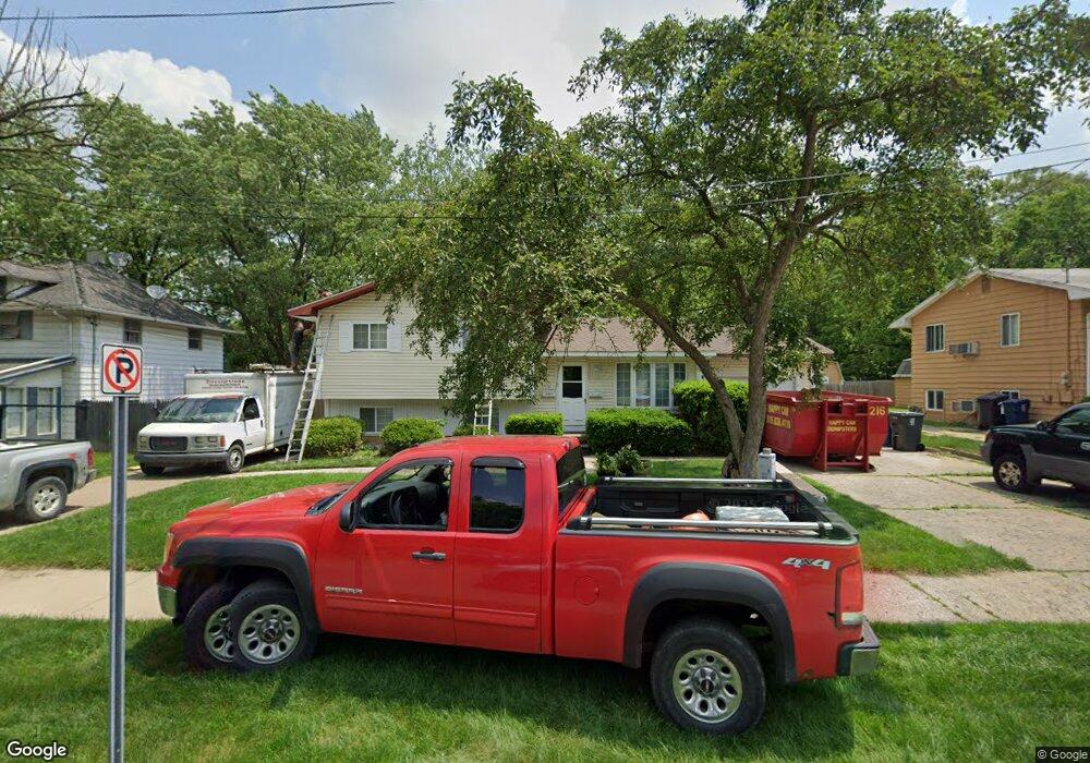
931 Bradley Ave Flint, MI 48503
Southwest Flint NeighborhoodEstimated Value: $82,000 - $102,000
4
Beds
2
Baths
1,734
Sq Ft
$52/Sq Ft
Est. Value
About This Home
This home is located at 931 Bradley Ave, Flint, MI 48503 and is currently estimated at $89,733, approximately $51 per square foot. 931 Bradley Ave is a home located in Genesee County with nearby schools including Eisenhower School, St. Paul Lutheran School, and St John Vianney Catholic School.
Ownership History
Date
Name
Owned For
Owner Type
Purchase Details
Closed on
Nov 11, 2016
Sold by
Rosado Melissa M and Alvarado Melissa M
Bought by
Ellison Orlandis
Current Estimated Value
Purchase Details
Closed on
Feb 20, 2012
Sold by
Golden Shirley N
Bought by
Alvarado Melissa M
Purchase Details
Closed on
Jan 17, 2011
Sold by
Golden Shirley N
Bought by
Alvarado Melissa M
Create a Home Valuation Report for This Property
The Home Valuation Report is an in-depth analysis detailing your home's value as well as a comparison with similar homes in the area
Home Values in the Area
Average Home Value in this Area
Purchase History
We collect this data history from publicly available records. To have your information removed, we recommend requesting removal directly through your county’s website.
| Date | Buyer | Sale Price | Title Company |
|---|---|---|---|
| Ellison Orlandis | $47,000 | Sargents Title Co | |
| Alvarado Melissa M | $45,000 | None Available | |
| Alvarado Melissa M | -- | Sargents Title Company |
Source: Public Records
Tax History
| Year | Tax Paid | Tax Assessment Tax Assessment Total Assessment is a certain percentage of the fair market value that is determined by local assessors to be the total taxable value of land and additions on the property. | Land | Improvement |
|---|---|---|---|---|
| 2025 | $1,273 | $34,800 | $0 | $0 |
| 2024 | $1,144 | $34,600 | $0 | $0 |
| 2023 | $1,118 | $29,400 | $0 | $0 |
| 2022 | $0 | $24,400 | $0 | $0 |
| 2021 | $1,168 | $22,100 | $0 | $0 |
| 2020 | $1,044 | $22,900 | $0 | $0 |
| 2019 | $1,011 | $17,000 | $0 | $0 |
| 2018 | $1,032 | $18,200 | $0 | $0 |
| 2017 | $1,001 | $0 | $0 | $0 |
| 2016 | $994 | $0 | $0 | $0 |
| 2015 | -- | $0 | $0 | $0 |
| 2014 | -- | $0 | $0 | $0 |
| 2012 | -- | $20,700 | $0 | $0 |
Source: Public Records
Map
Nearby Homes
- 2618 Lester Ct
- 2810 Gibson St
- 911 Hughes Ave
- 2717 Gibson St
- 2614 Corunna Rd
- 2437 Zimmerman St
- 2830 Corunna Rd
- 915 Stocker Ave
- 2554 Swayze St
- 2509 Corunna Rd
- 936 Stocker Ave
- 2618 Brown St
- 2410 Corunna Rd
- 1017 Stocker Ave
- 960 Mann Ave
- 3301 Gratiot Ave
- 3302 Van Buren Ave
- 2310 Gibson St
- 2433 Brown St
- 316 Sheffield Ave
- 920 Hammond Ave
- 916 Hammond Ave
- 924 Hammond St
- 932 Hammond Ave
- 912 Hammond St
- 912 Hammond Ave
- 919 Bradley Ave
- 915 Bradley Ave
- 925 Bradley Ave
- 911 Bradley Ave
- 2622 Lester Ct
- 2619 Lester Ct
- 2615 Lester Ct
- 2617 W Court St
- 2614 Lester Ct
- 2611 Lester Ct
- 943 Bradley Ave
- 916 Bradley Ave
- 920 Bradley Ave
- 2605 Lester St
Your Personal Tour Guide
Ask me questions while you tour the home.