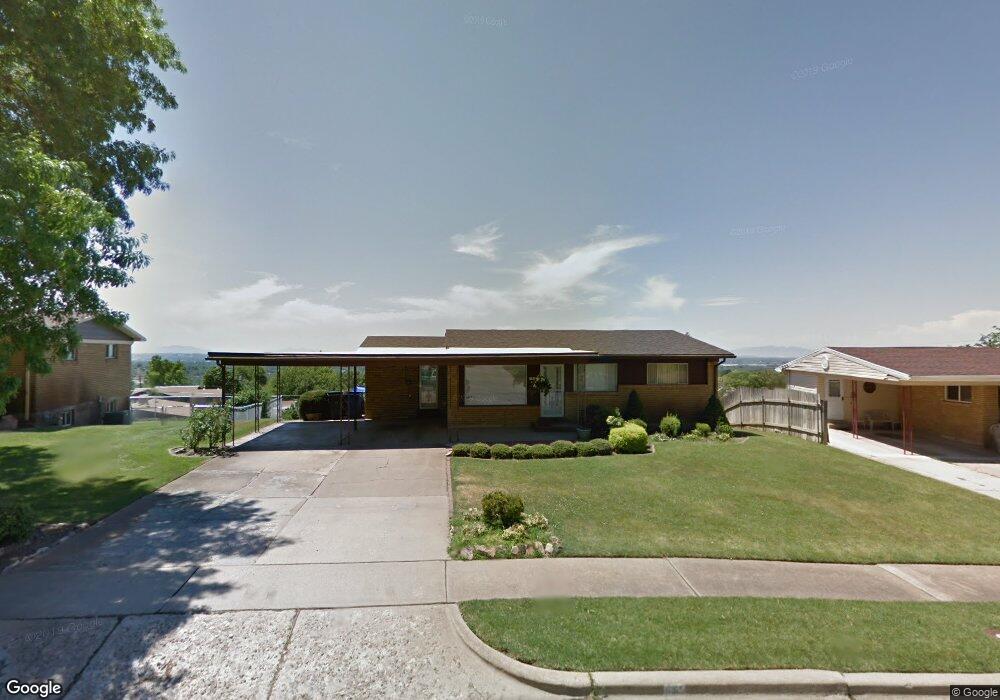
931 Maxfield Dr Ogden, UT 84404
Horace Mann NeighborhoodEstimated Value: $414,000 - $472,000
4
Beds
1
Bath
--
Sq Ft
13,068
Sq Ft Lot
About This Home
This home is located at 931 Maxfield Dr, Ogden, UT 84404 and is currently estimated at $437,013. 931 Maxfield Dr is a home located in Weber County with nearby schools including Mound Fort Junior High School and Ben Lomond High School.
Ownership History
Date
Name
Owned For
Owner Type
Purchase Details
Closed on
Jul 31, 2020
Sold by
Lund Billie Lou and Panunzio Linda Kay
Bought by
Ayala Araceli
Current Estimated Value
Home Financials for this Owner
Home Financials are based on the most recent Mortgage that was taken out on this home.
Original Mortgage
$247,000
Outstanding Balance
$219,511
Interest Rate
3.1%
Mortgage Type
New Conventional
Estimated Equity
$217,502
Create a Home Valuation Report for This Property
The Home Valuation Report is an in-depth analysis detailing your home's value as well as a comparison with similar homes in the area
Home Values in the Area
Average Home Value in this Area
Purchase History
| Date | Buyer | Sale Price | Title Company |
|---|---|---|---|
| Ayala Araceli | -- | Mountain View Title Ogden |
Source: Public Records
Mortgage History
| Date | Status | Borrower | Loan Amount |
|---|---|---|---|
| Open | Ayala Araceli | $247,000 |
Source: Public Records
Tax History
| Year | Tax Paid | Tax Assessment Tax Assessment Total Assessment is a certain percentage of the fair market value that is determined by local assessors to be the total taxable value of land and additions on the property. | Land | Improvement |
|---|---|---|---|---|
| 2025 | $3,145 | $423,272 | $132,682 | $290,590 |
| 2024 | $3,013 | $221,099 | $72,977 | $148,122 |
| 2023 | $2,892 | $214,500 | $71,188 | $143,312 |
| 2022 | $3,061 | $229,900 | $57,458 | $172,442 |
| 2021 | $2,352 | $288,000 | $69,252 | $218,748 |
| 2020 | $2,226 | $251,000 | $53,415 | $197,585 |
| 2019 | $2,211 | $234,000 | $48,395 | $185,605 |
| 2018 | $1,924 | $200,000 | $48,395 | $151,605 |
| 2017 | $1,671 | $160,000 | $42,553 | $117,447 |
| 2016 | $1,526 | $78,385 | $20,056 | $58,329 |
| 2015 | $1,499 | $75,967 | $20,056 | $55,911 |
| 2014 | $1,331 | $65,671 | $17,287 | $48,384 |
Source: Public Records
Map
Nearby Homes
- 975 Fillmore Ave
- 915 Hislop Dr
- 1540 Sunview Dr
- 1565 E 775 S Unit 7
- 1565 E 775 S Unit 16
- 793 Simoron Dr
- 1390 Cross St
- 1039 Mountain Rd
- 572 S Elena Ln
- 1342 Cross St
- 1014 Peach Dr
- 1568 Hudson St Unit 1
- 970 Tyler Ave
- 1125 Custer Ave
- 1473 Hudson St
- 907 Tyler Ave
- 1582 E Maddies Cove Unit 19
- 1695 E 1425 S
- 1330 7th St
- 3270 N 3325 W Unit 386B
- 919 Maxfield Dr
- 941 Maxfield Dr
- 960 Stowe Dr
- 970 Stowe Dr
- 950 Fillmore Ave
- 951 Maxfield Dr
- 905 Maxfield Dr
- 920 Fillmore Ave
- 926 Maxfield Dr
- 940 Maxfield Dr
- 980 Stowe Dr
- 910 Maxfield Dr
- 910 Fillmore Ave
- 950 Maxfield Dr
- 961 Maxfield Dr
- 990 Stowe Dr
- 960 Maxfield Dr
- 963 Stowe Dr
- 975 Stowe Dr
- 955 Fillmore Ave
Your Personal Tour Guide
Ask me questions while you tour the home.