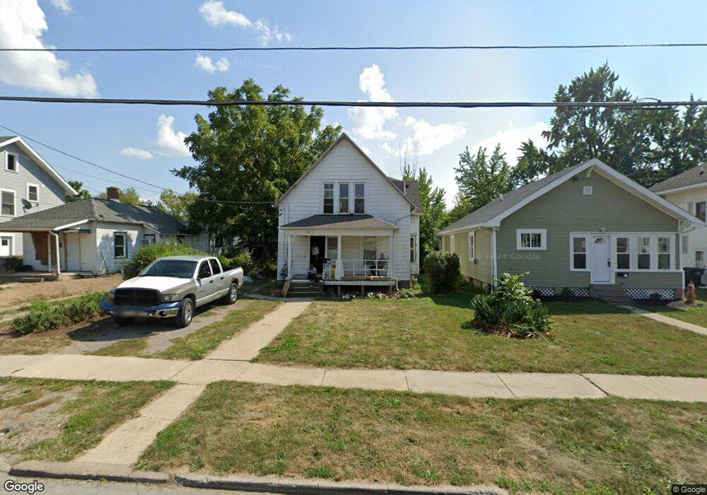
931 Rice Ave Lima, OH 45805
Central Lima NeighborhoodEstimated Value: $57,857 - $89,000
3
Beds
1
Bath
1,397
Sq Ft
$55/Sq Ft
Est. Value
About This Home
This home is located at 931 Rice Ave, Lima, OH 45805 and is currently estimated at $76,464, approximately $54 per square foot. 931 Rice Ave is a home located in Allen County with nearby schools including Heritage Elementary School, Lima North Middle School, and Lima West Middle School.
Ownership History
Date
Name
Owned For
Owner Type
Purchase Details
Closed on
May 25, 2023
Sold by
Newman Clyde E
Bought by
Parks Kim T
Current Estimated Value
Purchase Details
Closed on
May 11, 2009
Sold by
Newman Ethel M
Bought by
Newman Clyde E
Purchase Details
Closed on
May 1, 1969
Bought by
Newman Ethel M
Create a Home Valuation Report for This Property
The Home Valuation Report is an in-depth analysis detailing your home's value as well as a comparison with similar homes in the area
Home Values in the Area
Average Home Value in this Area
Purchase History
| Date | Buyer | Sale Price | Title Company |
|---|---|---|---|
| Parks Kim T | $18,000 | None Listed On Document | |
| Newman Clyde E | -- | Attorney | |
| Newman Ethel M | $5,000 | -- |
Source: Public Records
Tax History Compared to Growth
Tax History
| Year | Tax Paid | Tax Assessment Tax Assessment Total Assessment is a certain percentage of the fair market value that is determined by local assessors to be the total taxable value of land and additions on the property. | Land | Improvement |
|---|---|---|---|---|
| 2024 | $627 | $16,000 | $2,350 | $13,650 |
| 2023 | $1,040 | $14,040 | $2,070 | $11,970 |
| 2022 | $274 | $14,040 | $2,070 | $11,970 |
| 2021 | $287 | $14,040 | $2,070 | $11,970 |
| 2020 | $217 | $11,980 | $2,000 | $9,980 |
| 2019 | $217 | $11,980 | $2,000 | $9,980 |
| 2018 | $215 | $11,980 | $2,000 | $9,980 |
| 2017 | $217 | $11,980 | $2,000 | $9,980 |
| 2016 | $221 | $11,980 | $2,000 | $9,980 |
| 2015 | $260 | $11,980 | $2,000 | $9,980 |
| 2014 | $260 | $12,780 | $2,140 | $10,640 |
| 2013 | $255 | $12,780 | $2,140 | $10,640 |
Source: Public Records
Map
Nearby Homes
- 618 Woodward Ave
- 1023 Leland Ave
- 1120 Richie Ave
- 631 Hazel Ave
- 648 Hazel Ave
- 638 Hazel Ave
- 1206 Rice Ave
- 676 Cortlandt Ave
- 745 Brice Ave
- 1036 W High St
- 576 Cortlandt Ave
- 612 N Metcalf St
- 708 N Metcalf St
- 627 Brice Ave
- 434 N Washington St
- 1116 Belvidere Ave
- 416 Hazel Ave
- 325 N McDonel St
- 1517 Allentown Rd
- 849 Runyan Ave