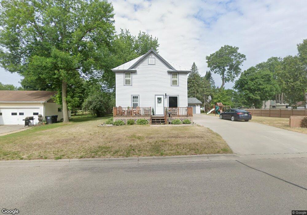
931 S Weed St Shawano, WI 54166
Estimated Value: $237,000 - $282,000
4
Beds
1
Bath
1,600
Sq Ft
$155/Sq Ft
Est. Value
About This Home
This home is located at 931 S Weed St, Shawano, WI 54166 and is currently estimated at $248,503, approximately $155 per square foot. 931 S Weed St is a home located in Shawano County with nearby schools including Hillcrest Primary School, Brener Elementary School, and Shawano Community Middle School.
Ownership History
Date
Name
Owned For
Owner Type
Purchase Details
Closed on
Feb 27, 2009
Sold by
Kerber Barbara H
Bought by
Raddant Keith R
Current Estimated Value
Home Financials for this Owner
Home Financials are based on the most recent Mortgage that was taken out on this home.
Original Mortgage
$86,734
Outstanding Balance
$54,080
Interest Rate
5.09%
Estimated Equity
$194,423
Create a Home Valuation Report for This Property
The Home Valuation Report is an in-depth analysis detailing your home's value as well as a comparison with similar homes in the area
Home Values in the Area
Average Home Value in this Area
Purchase History
| Date | Buyer | Sale Price | Title Company |
|---|---|---|---|
| Raddant Keith R | $85,000 | Shawano Title Services Inc |
Source: Public Records
Mortgage History
| Date | Status | Borrower | Loan Amount |
|---|---|---|---|
| Open | Raddant Keith R | $86,734 |
Source: Public Records
Tax History
| Year | Tax Paid | Tax Assessment Tax Assessment Total Assessment is a certain percentage of the fair market value that is determined by local assessors to be the total taxable value of land and additions on the property. | Land | Improvement |
|---|---|---|---|---|
| 2025 | $3,893 | $197,300 | $8,500 | $188,800 |
| 2024 | $3,698 | $197,300 | $8,500 | $188,800 |
| 2023 | $3,557 | $197,300 | $8,500 | $188,800 |
| 2022 | $3,447 | $150,700 | $7,500 | $143,200 |
| 2021 | $3,398 | $150,700 | $7,500 | $143,200 |
| 2020 | $3,442 | $150,700 | $7,500 | $143,200 |
| 2019 | $3,375 | $150,700 | $7,500 | $143,200 |
| 2018 | $1,811 | $76,700 | $7,100 | $69,600 |
| 2017 | $1,775 | $76,700 | $7,100 | $69,600 |
| 2016 | $1,754 | $75,600 | $7,100 | $68,500 |
| 2015 | $1,624 | $75,600 | $7,100 | $68,500 |
| 2014 | $160,945 | $75,600 | $7,100 | $68,500 |
| 2013 | $1,895 | $75,600 | $7,100 | $68,500 |
Source: Public Records
Map
Nearby Homes
- 1136 S Bartlett St
- 604 S Weed St
- 213 W Wescott Ave
- 0 Lafayette Unit 50317735
- 0 Lafayette Unit 50317737
- W7618 Poplar Rd
- 331 S Main St
- 412 S Andrews St
- 1017 S Lincoln St
- 231 E Center St
- 313 E Center St
- 214 Pearl Ave
- 724 S Hamlin St
- 516 E Randall St
- 130 S Andrews St
- 414 N Lafayette St
- 618 E Division St
- 513 N Lafayette St
- 1140 S Evergreen St
- 250 Alpine Dr
Your Personal Tour Guide
Ask me questions while you tour the home.