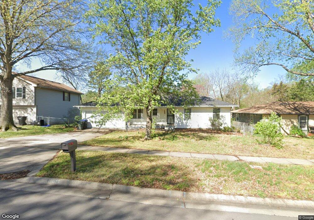
931 SW Kent Place Topeka, KS 66606
West Topeka NeighborhoodEstimated Value: $224,000 - $253,000
3
Beds
3
Baths
1,324
Sq Ft
$183/Sq Ft
Est. Value
About This Home
This home is located at 931 SW Kent Place, Topeka, KS 66606 and is currently estimated at $241,666, approximately $182 per square foot. 931 SW Kent Place is a home located in Shawnee County with nearby schools including McCarter Elementary School, Landon Middle School, and Topeka West High School.
Ownership History
Date
Name
Owned For
Owner Type
Purchase Details
Closed on
Jun 7, 2005
Sold by
Devlin Brian K and Devlin Robyn L
Bought by
Stewart Denniel B
Current Estimated Value
Home Financials for this Owner
Home Financials are based on the most recent Mortgage that was taken out on this home.
Original Mortgage
$100,720
Outstanding Balance
$52,582
Interest Rate
5.76%
Mortgage Type
New Conventional
Estimated Equity
$189,084
Create a Home Valuation Report for This Property
The Home Valuation Report is an in-depth analysis detailing your home's value as well as a comparison with similar homes in the area
Home Values in the Area
Average Home Value in this Area
Purchase History
| Date | Buyer | Sale Price | Title Company |
|---|---|---|---|
| Stewart Denniel B | -- | Lawyers Title Of Topeka Inc |
Source: Public Records
Mortgage History
| Date | Status | Borrower | Loan Amount |
|---|---|---|---|
| Open | Stewart Denniel B | $100,720 |
Source: Public Records
Tax History Compared to Growth
Tax History
| Year | Tax Paid | Tax Assessment Tax Assessment Total Assessment is a certain percentage of the fair market value that is determined by local assessors to be the total taxable value of land and additions on the property. | Land | Improvement |
|---|---|---|---|---|
| 2025 | $3,256 | $23,481 | -- | -- |
| 2023 | $3,256 | $22,569 | $0 | $0 |
| 2022 | $3,024 | $20,150 | $0 | $0 |
| 2021 | $2,783 | $17,675 | $0 | $0 |
| 2020 | $2,619 | $16,833 | $0 | $0 |
| 2019 | $2,557 | $16,343 | $0 | $0 |
| 2018 | $2,484 | $15,867 | $0 | $0 |
| 2017 | $2,439 | $15,556 | $0 | $0 |
| 2014 | $2,274 | $14,378 | $0 | $0 |
Source: Public Records
Map
Nearby Homes
- 741 SW Mifflin Rd
- 5639 SW West Dr
- 1042 SW Amhurst Ct
- 1100 SW Amhurst Ct
- 5452 SW 12th Terrace Unit 3
- 1053 SW Harvey St
- 613 SW Grand Ct
- Lot 4 & .5 of 3 SW Balmoral Ln
- Lot 2 SW Balmoral Ln Unit and east 1/2 of Lot
- Lot 17 SW Balmoral Ln
- 5618 SW 14th St
- 1306 SW Glendale Dr
- 5518 SW Avalon Ln
- 5802 SW Sterling Ln
- 1019 SW Exmoor Ln Unit Tract 17
- 1023 SW Exmoor Ln Unit Tract 16
- 1212 SW New Forest Dr
- 1274 SW Indian Trail Ct
- 1421 SW Mcalister Ave
- 1728 SW Fairlawn Rd
- 925 SW Kent Place
- 937 SW Kent Place
- 919 SW Kent Place
- 943 SW Kent Place
- 910 SW Mifflin Rd
- 930 SW Kent Place
- 5440 SW 10th Ave
- 936 SW Kent Place
- 926 SW Kent Place
- 908 SW Mifflin Rd
- 913 SW Kent Place
- 942 SW Kent Place
- 918 SW Kent Place
- 906 SW Mifflin Rd
- 909 SW Kent Place
- 912 SW Kent Place
- 1001 SW Kent Place
- 5316 SW 10th Ave
- 1002 SW Kent Place
- 1003 SW Kent Place