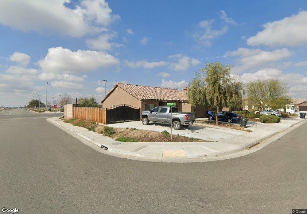
9319 Wellfleet Dr Bakersfield, CA 93313
Panama NeighborhoodEstimated Value: $410,280 - $488,000
About This Home
This home is located at 9319 Wellfleet Dr, Bakersfield, CA 93313 and is currently estimated at $440,570, approximately $275 per square foot. 9319 Wellfleet Dr is a home with nearby schools including Bill L. Williams Elementary School, Stonecreek Junior High School, and Ridgeview High School.
Ownership History
We collect this data history from publicly available records. To have your information removed, we recommend requesting removal directly through your county’s website.
Purchase Details
Home Financials for this Owner
Home Financials are based on the most recent Mortgage that was taken out on this home.Purchase Details
Home Financials for this Owner
Home Financials are based on the most recent Mortgage that was taken out on this home.Home Values in the Area
Average Home Value in this Area
Purchase History
We collect this data history from publicly available records. To have your information removed, we recommend requesting removal directly through your county’s website.
| Date | Buyer | Sale Price | Title Company |
|---|---|---|---|
| -- | Ticor Title Company | ||
| $295,500 | First American Title Company |
Mortgage History
We collect this data history from publicly available records. To have your information removed, we recommend requesting removal directly through your county’s website.
| Date | Status | Borrower | Loan Amount |
|---|---|---|---|
| Open | $280,000 | ||
| Closed | $286,500 |
Tax History
We collect this data history from publicly available records. To have your information removed, we recommend requesting removal directly through your county’s website.
| Year | Tax Paid | Tax Assessment Tax Assessment Total Assessment is a certain percentage of the fair market value that is determined by local assessors to be the total taxable value of land and additions on the property. | Land | Improvement |
|---|---|---|---|---|
| 2025 | $4,735 | $335,654 | $68,267 | $267,387 |
| 2024 | $4,654 | $329,074 | $66,929 | $262,145 |
| 2023 | $4,654 | $322,622 | $65,617 | $257,005 |
| 2022 | $4,468 | $316,297 | $64,331 | $251,966 |
| 2021 | $4,336 | $310,096 | $63,070 | $247,026 |
| 2020 | $4,278 | $306,918 | $62,424 | $244,494 |
| 2019 | $4,223 | $306,918 | $62,424 | $244,494 |
| 2018 | $4,074 | $295,000 | $60,000 | $235,000 |
| 2017 | $3,053 | $251,907 | $43,907 | $208,000 |
| 2016 | $608 | $43,047 | $43,047 | $0 |
Map
- 6225 Thorton Ave
- 6014 Samuelson St
- 9605 Surfside St
- 5809 Fernside Ct
- 6112 Commonwealth Ave
- 5918 Esmerelda Ave
- 6018 Woodard Ridge Dr
- 10000 Fitchburg Dr
- 5808 Esmerelda Ave
- 5831 Mardal Ave
- 9914 Fire Island Dr
- 5414 Red Wheat Ave
- 5513 Narrow Ridge Ct
- 9506 Orchard Grass Ct
- 6003 Vespucci Ave
- 5917 Vespucci Ave
- 5803 Vespucci Ave
- 6203 Caruso Ave
- 6226 Caruso Ave
- 7436 Musa Grove Ave
- 9301 Wellfleet Dr
- 9307 Wellfleet Dr
- 6412 Cape Cod Ave
- 9313 Wellfleet Dr
- 6406 Cape Cod Ave
- 6405 Cape Cod Ave
- 6400 Cape Cod Ave
- 6401 Cape Cod Ave
- 6408 Provincetown Ave
- 6411 Thorton Ave
- 6402 Provincetown Ave
- 6405 Thorton Ave
- 9403 Wellfleet Dr
- 6312 Provincetown Ave
- 6311 Cape Cod Ave
- 6312 Cape Cod Ave
- 9402 Wellfleet Dr
- 9119 Selma St
- 6308 Provincetown Ave
- 9407 Wellfleet Dr
Ask me questions while you tour the home.