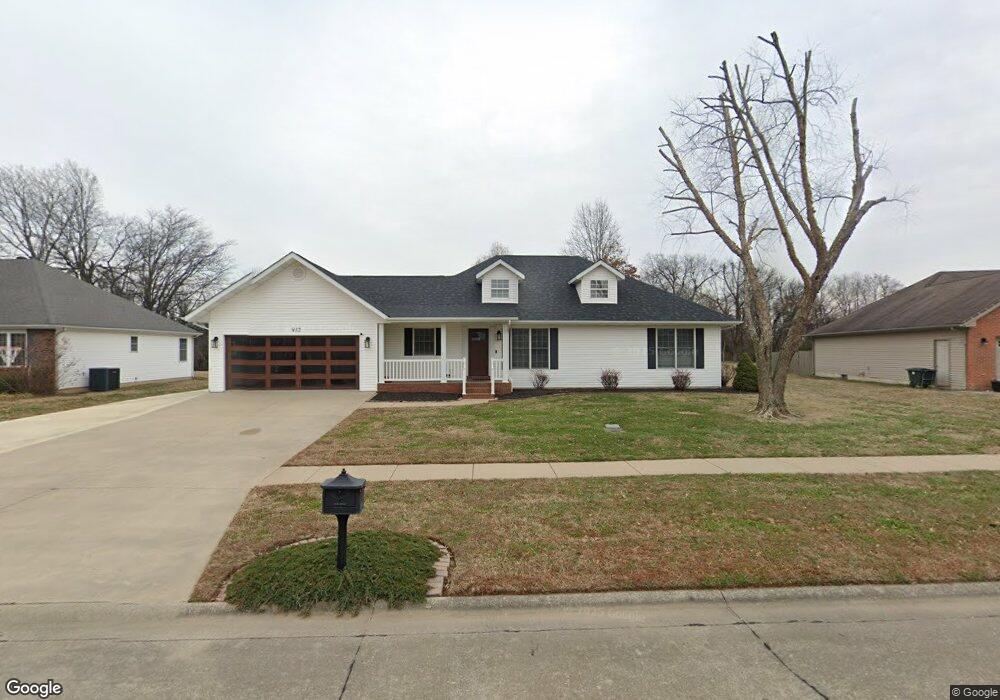
932 Bucklin Cir Sikeston, MO 63801
Estimated Value: $191,000 - $247,000
3
Beds
1
Bath
1,450
Sq Ft
$157/Sq Ft
Est. Value
About This Home
This home is located at 932 Bucklin Cir, Sikeston, MO 63801 and is currently estimated at $227,691, approximately $157 per square foot. 932 Bucklin Cir is a home with nearby schools including Sikeston Senior High School, Southeast Missouri Christian Academy, and The Christian Academy.
Ownership History
Date
Name
Owned For
Owner Type
Purchase Details
Closed on
Feb 15, 2017
Sold by
Finley Sheena R
Bought by
Scott Craig A
Current Estimated Value
Purchase Details
Closed on
Feb 4, 2013
Sold by
Scherer Fred L and Gardner Alice L
Bought by
Scott Craig
Purchase Details
Closed on
May 15, 2009
Sold by
Satterfield Dixne Lee
Bought by
Maclin Darrel R and Maclin Kimberly M
Home Financials for this Owner
Home Financials are based on the most recent Mortgage that was taken out on this home.
Original Mortgage
$125,000
Interest Rate
4.77%
Mortgage Type
New Conventional
Create a Home Valuation Report for This Property
The Home Valuation Report is an in-depth analysis detailing your home's value as well as a comparison with similar homes in the area
Home Values in the Area
Average Home Value in this Area
Purchase History
| Date | Buyer | Sale Price | Title Company |
|---|---|---|---|
| Scott Craig A | -- | None Available | |
| Scott Craig | -- | None Available | |
| Maclin Darrel R | -- | -- |
Source: Public Records
Mortgage History
| Date | Status | Borrower | Loan Amount |
|---|---|---|---|
| Previous Owner | Maclin Darrel R | $125,000 |
Source: Public Records
Tax History
| Year | Tax Paid | Tax Assessment Tax Assessment Total Assessment is a certain percentage of the fair market value that is determined by local assessors to be the total taxable value of land and additions on the property. | Land | Improvement |
|---|---|---|---|---|
| 2025 | $1,928 | $34,700 | $3,000 | $31,700 |
| 2024 | $1,603 | $32,300 | $3,000 | $29,300 |
| 2023 | $1,609 | $32,300 | $0 | $0 |
| 2022 | $1,448 | $29,300 | $3,000 | $26,300 |
| 2021 | $1,447 | $29,300 | $0 | $0 |
| 2020 | $1,270 | $29,300 | $0 | $0 |
| 2019 | $1,269 | $27,900 | $3,000 | $24,900 |
| 2018 | $1,209 | $26,590 | $0 | $0 |
| 2017 | $1,198 | $26,590 | $0 | $0 |
| 2016 | -- | $26,600 | $0 | $0 |
| 2015 | -- | $26,600 | $0 | $0 |
| 2014 | -- | $26,600 | $0 | $0 |
| 2011 | -- | $0 | $0 | $0 |
Source: Public Records
Map
Nearby Homes
- 912 Plantation Blvd
- 1003 Red Arrow
- 926 Crescent Dr
- 707 Bayberry Dr
- 1130 Persimmon Place
- 814 Auburn Dr Unit 1
- 604 Maple St
- 838 E Gladys St
- 819 E Kathleen St
- 322 Helen St
- 312 Hardin St
- 733 Matthews Ave
- 321 Benton St
- 414 Secretariat
- 319 Benton St
- 403 Secretariat
- 1205 Yosemite
- 309 Benton St
- 402 Aster
- 338 E Gladys St
- 934 Bucklin Cir
- 930 Bucklin Cir
- 931 Bucklin Cir
- 937 Bucklin Cir
- 925 Bucklin Cir
- 928 Bucklin Cir
- 938 Bucklin Cir
- 939 Bucklin Cir
- 923 Bucklin Cir
- 916 Plantation Blvd
- 926 Bucklin Cir
- 914 Plantation Blvd
- 940 Bucklin Cir
- 924 Bucklin Cir
- 921 Bucklin Cir
- 941 Bucklin Cir
- 922 Bucklin Cir
- 942 Bucklin Cir
- 910 Plantation Blvd
- 943 Bucklin Cir
Your Personal Tour Guide
Ask me questions while you tour the home.