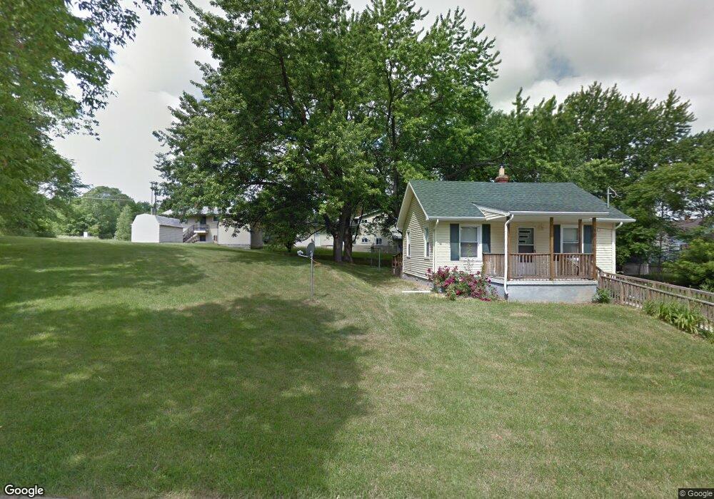
932 Hammond Ave Flint, MI 48503
Southwest Flint NeighborhoodEstimated Value: $40,000 - $47,000
2
Beds
1
Bath
636
Sq Ft
$69/Sq Ft
Est. Value
About This Home
This home is located at 932 Hammond Ave, Flint, MI 48503 and is currently estimated at $44,001, approximately $69 per square foot. 932 Hammond Ave is a home located in Genesee County with nearby schools including Eisenhower School, St. Paul Lutheran School, and St John Vianney Catholic School.
Ownership History
Date
Name
Owned For
Owner Type
Purchase Details
Closed on
Feb 4, 2021
Sold by
Panek David L and Panek David
Bought by
Kuzera Jennifer and Porter Carl
Current Estimated Value
Purchase Details
Closed on
Aug 17, 2005
Sold by
Moore Louis William
Bought by
Wells Fargo Bank Na and Asset Backed Pass Through Certificates S
Purchase Details
Closed on
Jun 23, 2005
Sold by
Moore Raeann Marie
Bought by
Moore Louis William
Create a Home Valuation Report for This Property
The Home Valuation Report is an in-depth analysis detailing your home's value as well as a comparison with similar homes in the area
Home Values in the Area
Average Home Value in this Area
Purchase History
| Date | Buyer | Sale Price | Title Company |
|---|---|---|---|
| Kuzera Jennifer | $27,400 | Sargents Title Company Llc | |
| Wells Fargo Bank Na | $60,806 | -- | |
| Moore Louis William | -- | First American |
Source: Public Records
Tax History Compared to Growth
Tax History
| Year | Tax Paid | Tax Assessment Tax Assessment Total Assessment is a certain percentage of the fair market value that is determined by local assessors to be the total taxable value of land and additions on the property. | Land | Improvement |
|---|---|---|---|---|
| 2025 | $835 | $13,700 | $0 | $0 |
| 2024 | $761 | $13,500 | $0 | $0 |
| 2023 | $751 | $11,600 | $0 | $0 |
| 2022 | $0 | $9,700 | $0 | $0 |
| 2021 | $704 | $8,800 | $0 | $0 |
| 2020 | $657 | $9,000 | $0 | $0 |
| 2019 | $649 | $6,800 | $0 | $0 |
| 2018 | $619 | $5,700 | $0 | $0 |
| 2017 | $765 | $0 | $0 | $0 |
| 2016 | $760 | $0 | $0 | $0 |
| 2015 | -- | $0 | $0 | $0 |
| 2014 | -- | $0 | $0 | $0 |
| 2012 | -- | $10,600 | $0 | $0 |
Source: Public Records
Map
Nearby Homes
- 2663 W Court St
- 932 Bradley Ave
- 911 Hughes Ave
- 612 Bradley Ave
- 1006 Hammond Ave
- 2710 Reynolds St
- 2464 Gibson St
- 2913 Gibson St
- 3119 Sherwood Dr
- 2437 Zimmerman St
- 1010 Hughes Ave
- 2509 Corunna Rd
- 1114 Clancy Ave
- 2537 Swayze St
- 2618 Brown St
- 1126 Clancy Ave
- 916 Mann Ave
- 1017 Stocker Ave
- 960 Mann Ave
- 2608 Cumings Ave
- 924 Hammond Ave
- 920 Hammond Ave
- 925 Bradley Ave
- 931 Bradley Ave
- 916 Hammond Ave
- 919 Bradley Ave
- 2619 Lester Ct
- 915 Bradley Ave
- 912 Hammond St
- 2615 Lester Ct
- 912 Hammond Ave
- 2622 Lester Ct
- 911 Bradley Ave
- 2618 Lester Ct
- 2611 Lester Ct
- 2614 Lester Ct
- 2605 Lester St
- 924 Bradley Ave
- 928 Bradley Ave
- 920 Bradley Ave