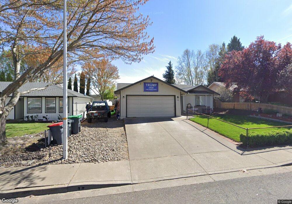
932 Hopkins Rd Central Point, OR 97502
Estimated Value: $355,000 - $360,000
3
Beds
2
Baths
1,314
Sq Ft
$272/Sq Ft
Est. Value
About This Home
This home is located at 932 Hopkins Rd, Central Point, OR 97502 and is currently estimated at $356,785, approximately $271 per square foot. 932 Hopkins Rd is a home located in Jackson County with nearby schools including Central Point Elementary School, Scenic Middle School, and Crater High School.
Ownership History
Date
Name
Owned For
Owner Type
Purchase Details
Closed on
Oct 26, 2021
Sold by
Thomas Brett R and Thomas Debra F
Bought by
Morrison Mark and Morrison Angelina
Current Estimated Value
Home Financials for this Owner
Home Financials are based on the most recent Mortgage that was taken out on this home.
Original Mortgage
$325,000
Interest Rate
2.8%
Mortgage Type
Commercial
Purchase Details
Closed on
Jan 21, 2016
Sold by
Thomas Brett R and Thomas Debra F
Bought by
Thomas Brett R and Thomas Debra F
Create a Home Valuation Report for This Property
The Home Valuation Report is an in-depth analysis detailing your home's value as well as a comparison with similar homes in the area
Home Values in the Area
Average Home Value in this Area
Purchase History
| Date | Buyer | Sale Price | Title Company |
|---|---|---|---|
| Morrison Mark | $325,000 | Ticor Title Company Of Or | |
| Thomas Brett R | -- | None Available |
Source: Public Records
Mortgage History
| Date | Status | Borrower | Loan Amount |
|---|---|---|---|
| Closed | Morrison Mark | $325,000 |
Source: Public Records
Tax History Compared to Growth
Tax History
| Year | Tax Paid | Tax Assessment Tax Assessment Total Assessment is a certain percentage of the fair market value that is determined by local assessors to be the total taxable value of land and additions on the property. | Land | Improvement |
|---|---|---|---|---|
| 2025 | $3,147 | $189,260 | $56,170 | $133,090 |
| 2024 | $3,147 | $183,750 | $54,540 | $129,210 |
| 2023 | $3,045 | $178,400 | $52,950 | $125,450 |
| 2022 | $2,974 | $178,400 | $52,950 | $125,450 |
| 2021 | $2,889 | $173,210 | $51,410 | $121,800 |
| 2020 | $2,805 | $168,170 | $49,910 | $118,260 |
| 2019 | $2,736 | $158,530 | $47,040 | $111,490 |
| 2018 | $2,653 | $153,920 | $45,670 | $108,250 |
| 2017 | $2,586 | $153,920 | $45,670 | $108,250 |
| 2016 | $2,511 | $145,090 | $43,050 | $102,040 |
| 2015 | $2,406 | $145,090 | $43,050 | $102,040 |
| 2014 | $2,344 | $136,770 | $40,580 | $96,190 |
Source: Public Records
Map
Nearby Homes
- 928 Brandi Way
- 1060 Hopkins Rd
- 851 Juanita Way
- 921 Pittview Ave
- 1017 Fairfield Ave
- 1025 Fairfield Ave
- 571 Briarwood Dr
- 3364 Bursell Rd
- 959 Westrop Dr
- 881 Westrop Dr
- 3358 Bursell Rd
- 301 Freeman Rd Unit 100
- 301 Freeman Rd Unit 23
- 301 Freeman Rd Unit 85
- 555 Freeman Rd Unit 128
- 555 Freeman Rd Unit 146
- 555 Freeman Rd Unit 204
- 555 Freeman Rd Unit 209
- 460 Federal Way
- 230 Peninger Rd
- 938 Hopkins Rd
- 930 Hopkins Rd
- 926 Hopkins Rd
- 942 Hopkins Rd
- 933 Juanita Way
- 931 Juanita Way
- 935 Juanita Way
- 927 Juanita Way
- 931 Hopkins Rd
- 588 Village Dr Unit G28
- 937 Juanita Way
- 922 Hopkins Rd
- 586 Village Dr
- 948 Hopkins Rd
- 937 Hopkins Rd
- 941 Hopkins Rd
- 923 Juanita Way
- 939 Juanita Way
- 582 Village Dr Unit G25
- 584 Village Dr Unit G26