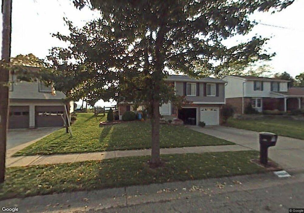
933 Bradford Ct Cincinnati, OH 45233
Estimated Value: $221,000 - $306,000
3
Beds
2
Baths
1,484
Sq Ft
$175/Sq Ft
Est. Value
About This Home
This home is located at 933 Bradford Ct, Cincinnati, OH 45233 and is currently estimated at $259,936, approximately $175 per square foot. 933 Bradford Ct is a home located in Hamilton County with nearby schools including Sayler Park Elementary School, Gilbert A. Dater High School, and Western Hills High School.
Ownership History
Date
Name
Owned For
Owner Type
Purchase Details
Closed on
Sep 19, 1994
Sold by
Riestenberg Joseph R and Riestenberg Anne C
Bought by
Barnett Timothy T and Evans Jeana R
Current Estimated Value
Home Financials for this Owner
Home Financials are based on the most recent Mortgage that was taken out on this home.
Original Mortgage
$100,500
Interest Rate
8.62%
Mortgage Type
FHA
Create a Home Valuation Report for This Property
The Home Valuation Report is an in-depth analysis detailing your home's value as well as a comparison with similar homes in the area
Home Values in the Area
Average Home Value in this Area
Purchase History
| Date | Buyer | Sale Price | Title Company |
|---|---|---|---|
| Barnett Timothy T | -- | -- |
Source: Public Records
Mortgage History
| Date | Status | Borrower | Loan Amount |
|---|---|---|---|
| Closed | Barnett Timothy T | $100,500 |
Source: Public Records
Tax History Compared to Growth
Tax History
| Year | Tax Paid | Tax Assessment Tax Assessment Total Assessment is a certain percentage of the fair market value that is determined by local assessors to be the total taxable value of land and additions on the property. | Land | Improvement |
|---|---|---|---|---|
| 2024 | $3,163 | $52,770 | $10,738 | $42,032 |
| 2023 | $3,234 | $52,770 | $10,738 | $42,032 |
| 2022 | $2,960 | $43,299 | $8,782 | $34,517 |
| 2021 | $2,845 | $43,299 | $8,782 | $34,517 |
| 2020 | $2,929 | $43,299 | $8,782 | $34,517 |
| 2019 | $2,808 | $37,983 | $7,704 | $30,279 |
| 2018 | $2,813 | $37,983 | $7,704 | $30,279 |
| 2017 | $2,672 | $37,983 | $7,704 | $30,279 |
| 2016 | $2,804 | $39,316 | $7,543 | $31,773 |
| 2015 | $2,528 | $39,316 | $7,543 | $31,773 |
| 2014 | $2,546 | $39,316 | $7,543 | $31,773 |
| 2013 | $2,565 | $38,927 | $7,469 | $31,458 |
Source: Public Records
Map
Nearby Homes
- 837 Martini Rd
- 241 Monitor Ave
- 174 Twain Ave
- 400 Parkview Cir
- 6516 Parkland Ave
- 6631 Home City Ave
- 133 Meridian St
- 6723 Daniels Walk
- 127 Meridian St
- 6730 Daniels Walk
- 6725 Daniels Walk
- 6713 Daniels Walk
- 6164 Hillside Ave
- 6735 Home City Ave
- 524 Trison Dr
- 6604 River Rd
- 665 Fox Trails Way
- 6811 Parkland Ave
- 6770 River Rd
- 6815 Gracely Dr
- 929 Bradford Ct
- 937 Bradford Ct
- 925 Bradford Ct
- 941 Bradford Ct
- 932 Bradford Ct
- 936 Bradford Ct
- 928 Bradford Ct
- 921 Bradford Ct
- 940 Bradford Ct
- 945 Bradford Ct
- 922 Bradford Ct
- 917 Bradford Ct
- 944 Bradford Ct
- 918 Bradford Ct
- 949 Bradford Ct
- 913 Bradford Ct
- 914 Bradford Ct
- 948 Bradford Ct
- 909 Bradford Ct
- 910 Bradford Ct