933 Country Club Pkwy Castle Rock, CO 80108
Estimated Value: $1,319,000 - $1,748,000
3
Beds
4
Baths
5,800
Sq Ft
$267/Sq Ft
Est. Value
About This Home
This home is located at 933 Country Club Pkwy, Castle Rock, CO 80108 and is currently estimated at $1,548,681, approximately $267 per square foot. 933 Country Club Pkwy is a home located in Douglas County with nearby schools including Buffalo Ridge Elementary School, Rocky Heights Middle School, and Rock Canyon High School.
Ownership History
Date
Name
Owned For
Owner Type
Purchase Details
Closed on
Jul 27, 2021
Sold by
Robbins John M and Robbins Betty
Bought by
Lee Louis E and Lee Melanie A
Current Estimated Value
Home Financials for this Owner
Home Financials are based on the most recent Mortgage that was taken out on this home.
Original Mortgage
$760,500
Outstanding Balance
$691,840
Interest Rate
2.93%
Mortgage Type
New Conventional
Estimated Equity
$856,841
Purchase Details
Closed on
Mar 23, 1998
Sold by
Forest Glen Inc
Bought by
Robbins John M and Robbins Betty
Home Financials for this Owner
Home Financials are based on the most recent Mortgage that was taken out on this home.
Original Mortgage
$630,000
Interest Rate
9%
Purchase Details
Closed on
Nov 13, 1997
Sold by
Fidelity Castle Pines Ltd
Bought by
Forest Glen Inc
Create a Home Valuation Report for This Property
The Home Valuation Report is an in-depth analysis detailing your home's value as well as a comparison with similar homes in the area
Home Values in the Area
Average Home Value in this Area
Purchase History
| Date | Buyer | Sale Price | Title Company |
|---|---|---|---|
| Lee Louis E | $1,100,000 | Land Title Guarantee Company | |
| Robbins John M | $145,000 | Land Title | |
| Forest Glen Inc | -- | -- |
Source: Public Records
Mortgage History
| Date | Status | Borrower | Loan Amount |
|---|---|---|---|
| Open | Lee Louis E | $760,500 | |
| Previous Owner | Robbins John M | $630,000 |
Source: Public Records
Tax History Compared to Growth
Tax History
| Year | Tax Paid | Tax Assessment Tax Assessment Total Assessment is a certain percentage of the fair market value that is determined by local assessors to be the total taxable value of land and additions on the property. | Land | Improvement |
|---|---|---|---|---|
| 2024 | $9,993 | $89,110 | $35,240 | $53,870 |
| 2023 | $10,072 | $89,110 | $35,240 | $53,870 |
| 2022 | $7,768 | $68,070 | $21,830 | $46,240 |
| 2021 | $7,240 | $68,070 | $21,830 | $46,240 |
| 2020 | $6,855 | $66,500 | $20,350 | $46,150 |
| 2019 | $6,875 | $66,500 | $20,350 | $46,150 |
| 2018 | $7,300 | $69,450 | $16,570 | $52,880 |
| 2017 | $6,914 | $69,450 | $16,570 | $52,880 |
| 2016 | $6,434 | $65,040 | $17,170 | $47,870 |
| 2015 | $6,547 | $65,040 | $17,170 | $47,870 |
| 2014 | $4,775 | $47,560 | $10,750 | $36,810 |
Source: Public Records
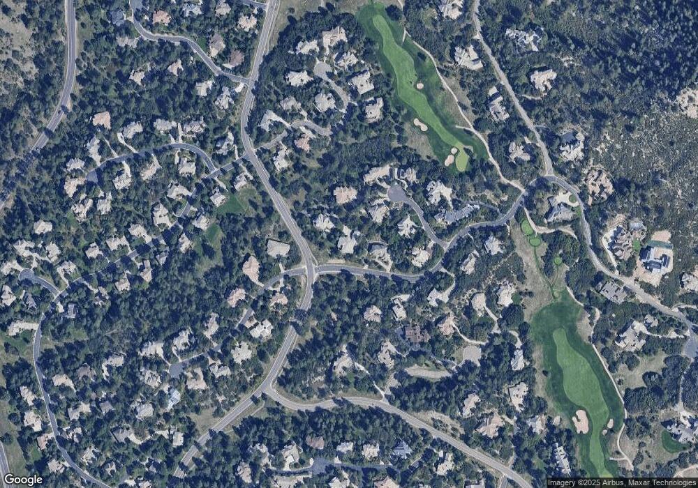
Map
Nearby Homes
- 218 Hidden Valley Ln
- 811 Moffat Ct
- 867 Homestake Ct
- 874 Wolverine Ct
- 870 Homestake Ct
- 1202 Wildcat Bend Ct
- 1062 Cypress Way
- 1072 Cypress Way
- 6190 Massive Peak Cir
- 1094 Golf Estates Point
- 1095 Golf Estates Point Unit 13
- 1083 Golf Estates Point
- 122 Silver Leaf Way
- 910 Equinox Dr
- 3122 Ramshorn Dr
- 6436 Holy Cross Ct
- 6186 Oxford Peak Ln
- 6188 Oxford Peak Ln
- 6111 Huron Place
- Residence 3 Plan at The Village at Castle Pines - The Summit at Castle Pines
- 934 Country Club Pkwy
- 932 Anaconda Dr
- 931 Utica Dr
- 930 Utica Dr
- 927 Utica Dr
- 892 Anaconda Ct
- 919 Anaconda Dr
- 926 Utica Dr
- 929 Utica Dr
- 920 Anaconda Dr
- 905 Anaconda Ct
- 928 Utica Dr
- 893 Anaconda Ct
- 935 Aztec Dr
- 936 Aztec Dr
- 921 Anaconda Dr
- 925 Anaconda Dr
- 924 Anaconda Dr
- 883 Good Hope Dr
- 904 Anaconda Ct