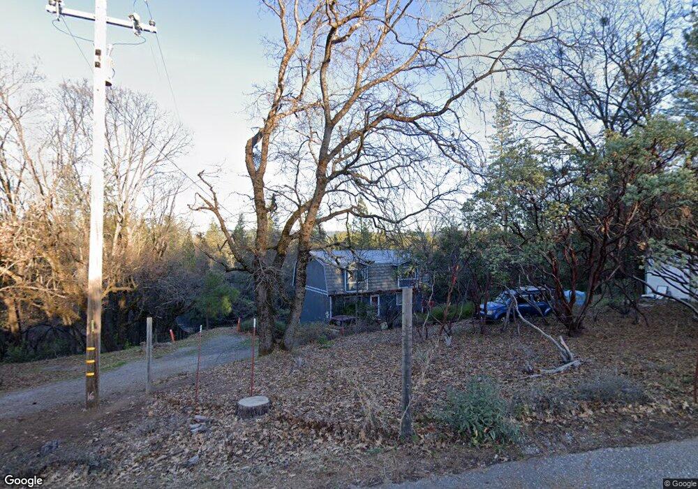
933 Dusty Rd Colfax, CA 95713
Estimated Value: $348,000 - $462,000
3
Beds
2
Baths
1,872
Sq Ft
$223/Sq Ft
Est. Value
About This Home
This home is located at 933 Dusty Rd, Colfax, CA 95713 and is currently estimated at $418,388, approximately $223 per square foot. 933 Dusty Rd is a home located in Placer County with nearby schools including Colfax Elementary School and Colfax High School.
Ownership History
Date
Name
Owned For
Owner Type
Purchase Details
Closed on
Jun 18, 2015
Sold by
Lampley Dick
Bought by
Lampley Dick
Current Estimated Value
Purchase Details
Closed on
Sep 11, 2002
Sold by
Lampley Dick and Lampley Ilene
Bought by
Lampley Dick and Lampley Ilene M
Home Financials for this Owner
Home Financials are based on the most recent Mortgage that was taken out on this home.
Original Mortgage
$60,000
Outstanding Balance
$24,680
Interest Rate
6.16%
Mortgage Type
Purchase Money Mortgage
Estimated Equity
$393,708
Purchase Details
Closed on
Aug 13, 2002
Sold by
Va
Bought by
Lampley Dick and Lampley Ilene
Home Financials for this Owner
Home Financials are based on the most recent Mortgage that was taken out on this home.
Original Mortgage
$60,000
Outstanding Balance
$24,680
Interest Rate
6.16%
Mortgage Type
Purchase Money Mortgage
Estimated Equity
$393,708
Create a Home Valuation Report for This Property
The Home Valuation Report is an in-depth analysis detailing your home's value as well as a comparison with similar homes in the area
Home Values in the Area
Average Home Value in this Area
Purchase History
| Date | Buyer | Sale Price | Title Company |
|---|---|---|---|
| Lampley Dick | -- | None Available | |
| Lampley Dick | -- | Placer Title Company | |
| Lampley Dick | -- | Placer Title Company |
Source: Public Records
Mortgage History
| Date | Status | Borrower | Loan Amount |
|---|---|---|---|
| Open | Lampley Dick | $60,000 |
Source: Public Records
Tax History
| Year | Tax Paid | Tax Assessment Tax Assessment Total Assessment is a certain percentage of the fair market value that is determined by local assessors to be the total taxable value of land and additions on the property. | Land | Improvement |
|---|---|---|---|---|
| 2025 | $1,567 | $158,052 | $33,838 | $124,214 |
| 2023 | $1,567 | $151,917 | $32,525 | $119,392 |
| 2022 | $1,513 | $148,939 | $31,888 | $117,051 |
| 2021 | $1,479 | $146,019 | $31,263 | $114,756 |
| 2020 | $1,461 | $144,523 | $30,943 | $113,580 |
| 2019 | $1,431 | $141,690 | $30,337 | $111,353 |
| 2018 | $1,379 | $138,913 | $29,743 | $109,170 |
| 2017 | $1,353 | $136,190 | $29,160 | $107,030 |
| 2016 | $1,323 | $133,521 | $28,589 | $104,932 |
| 2015 | $1,290 | $131,516 | $28,160 | $103,356 |
| 2014 | -- | $128,941 | $27,609 | $101,332 |
Source: Public Records
Map
Nearby Homes
- 0 Loggers Trail
- 575 P C Ln
- 0 Old Loggers Ln Unit 225126623
- 26650 Old Loggers Ln
- 26672 Old Loggers Ln
- 0 Norton Grade Unit 225127018
- 0 Norton-Grade Rd
- 26672 Old Logger Ln
- 0 Steamers Ravine Rd Unit 225141545
- 172 Sylvan Rd
- 489 Alpine Dr
- 27935 Manzanita Trail
- 339 Alpine Dr
- 280 Alpine Dr
- 0 Carpenter Rd Unit 225089482
- 26355 Barb Wire Ln
- 25840 Rollins Lake Rd
- 26070 Green Acres Rd
- 450 Gladycon Rd Unit 41
- 450 Gladycon Rd Unit 32
- 940 Dusty Rd
- 945 Dusty Rd
- 0 Dusty Rd
- 0 Dusty Rd Unit 222134873
- 0 Dusty Rd Unit 20033299
- 0 Dusty Rd Unit 30012827
- 0 Dusty Rd Unit 20032747
- 975 Dusty Rd
- 830 Cape Horn Rd E
- 1000 Robbers Ravine Rd
- 1020 Robbers Ravine Rd
- 1050 Robbers Ravine Rd
- 1080 Cape Horn Rd E
- 1060 Robbers Ravine Rd
- 26808 Rockrose Ln
- 26750 Rockrose Ln
- 875 Loggers Trail
- 875 Sawmill Rd
- 1025 Dusty Rd
- 1020 Dusty Rd
Your Personal Tour Guide
Ask me questions while you tour the home.