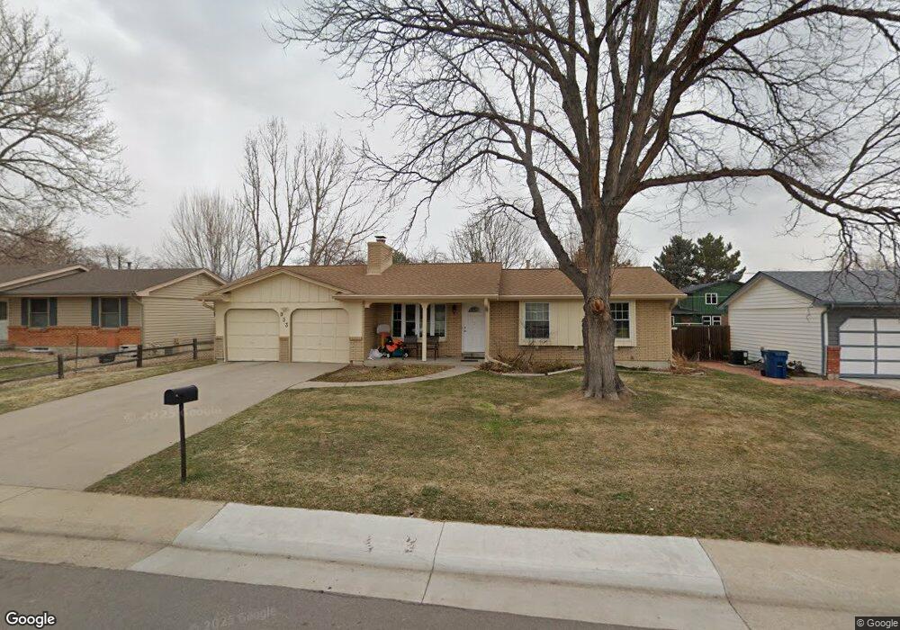
933 E 6th Ave Broomfield, CO 80020
Northmoor Estates NeighborhoodEstimated Value: $388,000 - $504,000
3
Beds
2
Baths
970
Sq Ft
$477/Sq Ft
Est. Value
About This Home
This home is located at 933 E 6th Ave, Broomfield, CO 80020 and is currently estimated at $462,504, approximately $476 per square foot. 933 E 6th Ave is a home located in Broomfield County with nearby schools including Birch Elementary School, Aspen Creek K-8 School, and Broomfield High School.
Ownership History
Date
Name
Owned For
Owner Type
Purchase Details
Closed on
Jan 29, 2015
Sold by
Farrell Michael J and Farrell Carol E
Bought by
933 E 6Th Ave Llc
Current Estimated Value
Purchase Details
Closed on
Nov 9, 2012
Sold by
Ray Sandy
Bought by
Farrell Michael J and Farrell Carol E
Home Financials for this Owner
Home Financials are based on the most recent Mortgage that was taken out on this home.
Original Mortgage
$139,800
Interest Rate
3.4%
Mortgage Type
New Conventional
Purchase Details
Closed on
Jul 30, 1998
Purchase Details
Closed on
Apr 19, 1994
Create a Home Valuation Report for This Property
The Home Valuation Report is an in-depth analysis detailing your home's value as well as a comparison with similar homes in the area
Home Values in the Area
Average Home Value in this Area
Purchase History
| Date | Buyer | Sale Price | Title Company |
|---|---|---|---|
| 933 E 6Th Ave Llc | -- | Land Title Guarantee Company | |
| Farrell Michael J | $187,422 | Land Title Guarantee Company | |
| -- | $137,000 | -- | |
| -- | $105,000 | -- |
Source: Public Records
Mortgage History
| Date | Status | Borrower | Loan Amount |
|---|---|---|---|
| Previous Owner | Farrell Michael J | $139,800 |
Source: Public Records
Tax History
| Year | Tax Paid | Tax Assessment Tax Assessment Total Assessment is a certain percentage of the fair market value that is determined by local assessors to be the total taxable value of land and additions on the property. | Land | Improvement |
|---|---|---|---|---|
| 2025 | $2,806 | $31,460 | $8,710 | $22,750 |
| 2024 | $2,806 | $29,950 | $7,760 | $22,190 |
| 2023 | $2,845 | $35,390 | $9,040 | $26,350 |
| 2022 | $2,431 | $25,150 | $5,910 | $19,240 |
| 2021 | $2,419 | $25,870 | $6,080 | $19,790 |
| 2020 | $2,149 | $22,840 | $5,720 | $17,120 |
| 2019 | $2,145 | $23,000 | $5,760 | $17,240 |
| 2018 | $1,830 | $19,390 | $4,320 | $15,070 |
| 2017 | $1,802 | $21,440 | $4,780 | $16,660 |
| 2016 | $1,590 | $16,860 | $5,450 | $11,410 |
| 2015 | $1,535 | $13,900 | $5,450 | $8,450 |
| 2014 | $1,294 | $13,900 | $5,450 | $8,450 |
Source: Public Records
Map
Nearby Homes
- 951 E 10th Ave
- 12565 Sheridan Blvd Unit 116
- 12565 Sheridan Blvd Unit 115
- 12565 Sheridan Blvd Unit 308
- 1110 E 9th Ave
- 1150 E 9th Ave
- 286 E 12th Ave
- 1118 Oakhurst Dr
- 1123 Oakhurst Dr
- 1221 Dexter St
- 1296 Aspen St
- 5143 Yates Place
- 1 Amesbury St
- 5020 Yates Ct
- 387 Oak Ln
- 4820 Yates Ct
- 215 Beryl Way
- 12575 Vrain St
- 1356 Dexter St
- 1598 Aspen St
Your Personal Tour Guide
Ask me questions while you tour the home.