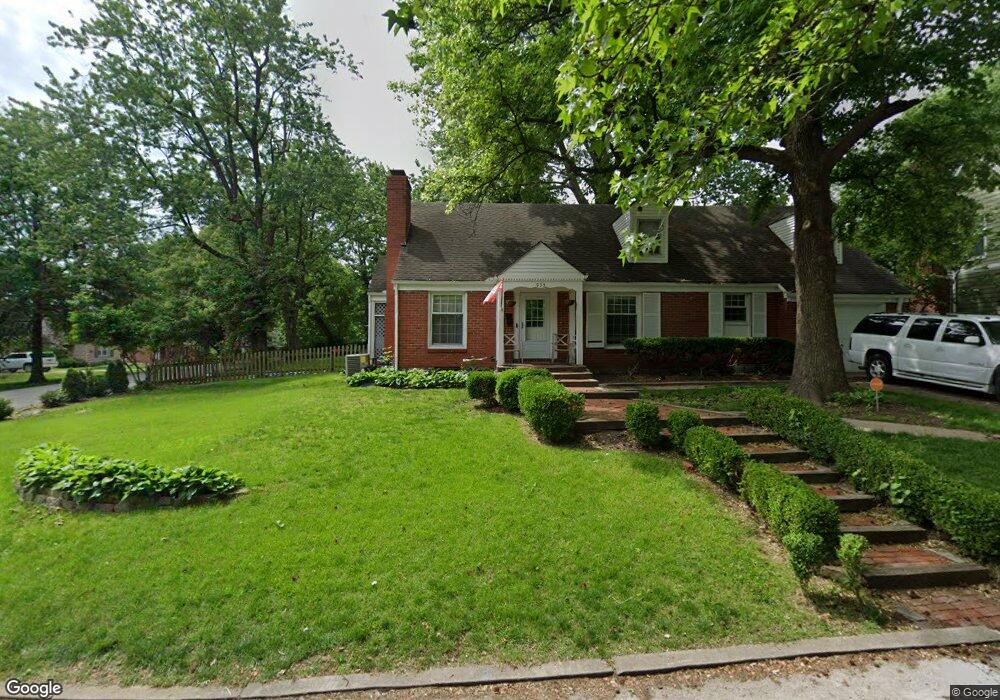
933 E Drumm Cir Independence, MO 64055
Hanthorn NeighborhoodEstimated Value: $215,997 - $271,000
3
Beds
2
Baths
1,421
Sq Ft
$172/Sq Ft
Est. Value
About This Home
This home is located at 933 E Drumm Cir, Independence, MO 64055 and is currently estimated at $244,249, approximately $171 per square foot. 933 E Drumm Cir is a home located in Jackson County with nearby schools including Sycamore Hills Elementary School, Bridger Middle School, and Pioneer Ridge Middle School.
Ownership History
Date
Name
Owned For
Owner Type
Purchase Details
Closed on
Oct 13, 2022
Sold by
Bld Realty Llc
Bought by
Bukaty Michael and Looney Patrick
Current Estimated Value
Purchase Details
Closed on
May 29, 2007
Sold by
Green Steve A and Green Andrea N
Bought by
Bld Realty Llc
Purchase Details
Closed on
Jan 26, 1996
Sold by
Shelton Terry J and Goff Patricia A
Bought by
Green Steve A and Green Andrea N
Home Financials for this Owner
Home Financials are based on the most recent Mortgage that was taken out on this home.
Original Mortgage
$76,950
Interest Rate
7.14%
Mortgage Type
Purchase Money Mortgage
Create a Home Valuation Report for This Property
The Home Valuation Report is an in-depth analysis detailing your home's value as well as a comparison with similar homes in the area
Home Values in the Area
Average Home Value in this Area
Purchase History
| Date | Buyer | Sale Price | Title Company |
|---|---|---|---|
| Bukaty Michael | -- | None Listed On Document | |
| Bld Realty Llc | -- | Capital Title Agency Inc | |
| Green Steve A | -- | -- |
Source: Public Records
Mortgage History
| Date | Status | Borrower | Loan Amount |
|---|---|---|---|
| Previous Owner | Green Steve A | $76,950 |
Source: Public Records
Tax History
| Year | Tax Paid | Tax Assessment Tax Assessment Total Assessment is a certain percentage of the fair market value that is determined by local assessors to be the total taxable value of land and additions on the property. | Land | Improvement |
|---|---|---|---|---|
| 2025 | $2,285 | $30,906 | $5,590 | $25,316 |
| 2024 | $2,285 | $32,976 | $5,014 | $27,962 |
| 2023 | $2,233 | $32,976 | $4,311 | $28,665 |
| 2022 | $1,726 | $23,370 | $5,244 | $18,126 |
| 2021 | $1,726 | $23,370 | $5,244 | $18,126 |
| 2020 | $1,653 | $21,757 | $5,244 | $16,513 |
| 2019 | $1,627 | $21,757 | $5,244 | $16,513 |
| 2018 | $1,572 | $20,073 | $3,914 | $16,159 |
| 2017 | $1,548 | $20,073 | $3,914 | $16,159 |
| 2016 | $1,548 | $19,570 | $4,110 | $15,460 |
| 2014 | $1,470 | $19,000 | $3,990 | $15,010 |
Source: Public Records
Map
Nearby Homes
- 921 E Manor Rd
- 735 E Devon St
- 718 E Gudgell Ave
- 660 E Red Rd
- 2800 S Woodbury Dr
- 2705 S Haden Ct
- 603 E Myrtle St
- 2724 S Woodbury Dr
- 421 E Angus St
- 1340 S Emery Ave
- 1954 S Lake Terrace
- 1339 S Hocker Ave
- 15804 E 27th St S
- 1312 S Pearl St
- 1402 S Dodgion Ave
- 220 E Hansen Ct
- 912 E Stone St
- 1040 E Stone St
- 1120 S Leslie St
- 212 E Hansen Ct Unit 1
- 929 E Drumm Cir
- 1630 S Drumm Ave
- 1621 S Drumm Ave
- 1615 S Drumm Ave
- 1629 S Drumm Ave
- 1617 Drumm Ave
- 921 E Drumm Cir
- 928 E Drumm Cir
- 932 E Drumm Cir
- 1637 S Drumm Ave
- 920 E Drumm Cir
- 911 E Drumm Cir
- 932 E Manor Rd
- 1645 S Drumm Ave
- 914 E Drumm Cir
- 1001 E Gudgell Ave
- 922 E Manor Rd
- 904 E Gudgell Ave
- 900 E Gudgell Ave
- 908 E Gudgell Ave
Your Personal Tour Guide
Ask me questions while you tour the home.