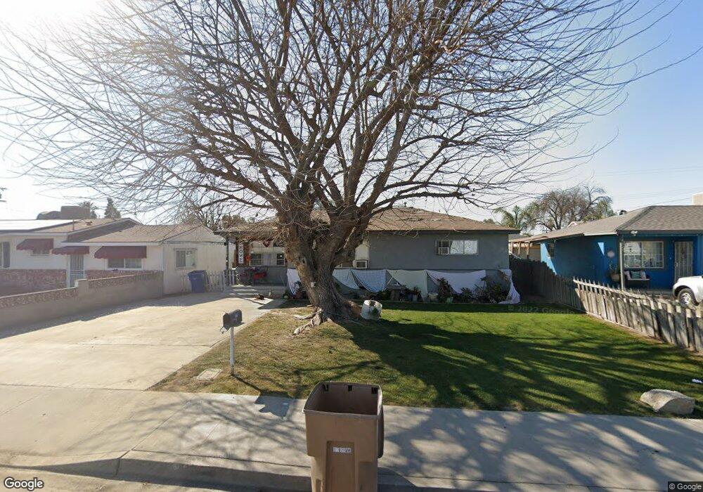
9331 Marvin St Bakersfield, CA 93307
Estimated Value: $211,000 - $316,000
3
Beds
1
Bath
1,052
Sq Ft
$246/Sq Ft
Est. Value
About This Home
This home is located at 9331 Marvin St, Bakersfield, CA 93307 and is currently estimated at $258,865, approximately $246 per square foot. 9331 Marvin St is a home located in Kern County with nearby schools including Mckee Middle School and Golden Valley High School.
Ownership History
Date
Name
Owned For
Owner Type
Purchase Details
Closed on
Feb 9, 2011
Sold by
Washum Timothy P and Washum Sindy L
Bought by
Cbp Properties Llc
Current Estimated Value
Purchase Details
Closed on
Aug 9, 2006
Sold by
Cbp Properties Llc
Bought by
Washum Timothy P and Washum Sindy L
Purchase Details
Closed on
Feb 14, 2005
Sold by
Peters Charles B
Bought by
Cbp Properties Llc
Purchase Details
Closed on
Sep 24, 2004
Sold by
Peters Mary Ann
Bought by
Peters Charles B
Create a Home Valuation Report for This Property
The Home Valuation Report is an in-depth analysis detailing your home's value as well as a comparison with similar homes in the area
Home Values in the Area
Average Home Value in this Area
Purchase History
| Date | Buyer | Sale Price | Title Company |
|---|---|---|---|
| Cbp Properties Llc | -- | Chicago Title Company | |
| Washum Timothy P | $153,000 | Chicago Title Company | |
| Cbp Properties Llc | -- | -- | |
| Cbp Properties Llc | -- | -- | |
| Peters Charles B | -- | -- |
Source: Public Records
Mortgage History
| Date | Status | Borrower | Loan Amount |
|---|---|---|---|
| Closed | Washum Timothy P | $0 |
Source: Public Records
Tax History Compared to Growth
Tax History
| Year | Tax Paid | Tax Assessment Tax Assessment Total Assessment is a certain percentage of the fair market value that is determined by local assessors to be the total taxable value of land and additions on the property. | Land | Improvement |
|---|---|---|---|---|
| 2025 | $1,285 | $59,021 | $15,065 | $43,956 |
| 2024 | $1,239 | $57,865 | $14,770 | $43,095 |
| 2023 | $1,239 | $56,731 | $14,481 | $42,250 |
| 2022 | $1,183 | $55,620 | $14,198 | $41,422 |
| 2021 | $1,098 | $54,530 | $13,920 | $40,610 |
| 2020 | $1,049 | $53,972 | $13,778 | $40,194 |
| 2019 | $1,032 | $53,972 | $13,778 | $40,194 |
| 2018 | $983 | $51,878 | $13,244 | $38,634 |
| 2017 | $968 | $50,862 | $12,985 | $37,877 |
| 2016 | $929 | $49,866 | $12,731 | $37,135 |
| 2015 | $923 | $49,118 | $12,540 | $36,578 |
| 2014 | $912 | $48,157 | $12,295 | $35,862 |
Source: Public Records
Map
Nearby Homes
- 9338 Gladys St
- 253 E Mckee Rd
- 9449 S Union Ave
- 400 Stirrup Ave
- 0 S Union Ave Unit 202509110
- 212 Mckee Rd
- 103 Hudson Dr
- 204 Thunder Gulch Dr
- 10517 McCormac Ave
- 8750 Greenfield Park Dr
- 8901 Tillson Way
- 1225 Taft Hwy Unit 5
- 1225 Taft Hwy Unit 23
- 1225 Taft Hwy Unit 3
- 1225 Taft Hwy Unit 24
- 1301 Charterten Ave
- 1301 Taft Hwy Unit 91
- 1301 Taft Hwy Unit 50
- 1301 Taft Hwy
- 1301 Taft Hwy Unit 166