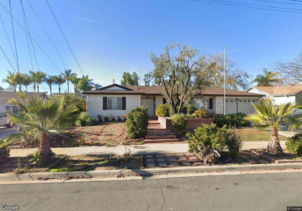
9336 Burning Tree Way Santee, CA 92071
East Elliott NeighborhoodEstimated Value: $773,000 - $867,000
About This Home
This home is located at 9336 Burning Tree Way, Santee, CA 92071 and is currently estimated at $808,808, approximately $629 per square foot. 9336 Burning Tree Way is a home located in San Diego County with nearby schools including Carlton Oaks Elementary School and West Hills High School.
Ownership History
We collect this data history from publicly available records. To have your information removed, we recommend requesting removal directly through your county’s website.
Purchase Details
Home Financials for this Owner
Home Financials are based on the most recent Mortgage that was taken out on this home.Purchase Details
Home Financials for this Owner
Home Financials are based on the most recent Mortgage that was taken out on this home.Purchase Details
Home Financials for this Owner
Home Financials are based on the most recent Mortgage that was taken out on this home.Purchase Details
Home Values in the Area
Average Home Value in this Area
Purchase History
We collect this data history from publicly available records. To have your information removed, we recommend requesting removal directly through your county’s website.
| Date | Buyer | Sale Price | Title Company |
|---|---|---|---|
| -- | Placer Title Company | ||
| -- | None Available | ||
| -- | None Available | ||
| -- | -- |
Mortgage History
We collect this data history from publicly available records. To have your information removed, we recommend requesting removal directly through your county’s website.
| Date | Status | Borrower | Loan Amount |
|---|---|---|---|
| Open | $705,000 | ||
| Closed | $592,500 |
Tax History
We collect this data history from publicly available records. To have your information removed, we recommend requesting removal directly through your county’s website.
| Year | Tax Paid | Tax Assessment Tax Assessment Total Assessment is a certain percentage of the fair market value that is determined by local assessors to be the total taxable value of land and additions on the property. | Land | Improvement |
|---|---|---|---|---|
| 2025 | $676 | $51,453 | $16,597 | $34,856 |
| 2024 | $676 | $50,445 | $16,272 | $34,173 |
| 2023 | $653 | $49,456 | $15,953 | $33,503 |
| 2022 | $642 | $48,488 | $15,641 | $32,847 |
| 2021 | $630 | $47,538 | $15,335 | $32,203 |
| 2020 | $622 | $47,051 | $15,178 | $31,873 |
| 2019 | $602 | $46,130 | $14,881 | $31,249 |
| 2018 | $589 | $45,227 | $14,590 | $30,637 |
| 2017 | $579 | $44,341 | $14,304 | $30,037 |
| 2016 | $561 | $43,473 | $14,024 | $29,449 |
| 2015 | $553 | $42,821 | $13,814 | $29,007 |
| 2014 | $543 | $41,983 | $13,544 | $28,439 |
Map
- 9219 Inverness Rd
- 8549 De Vos Dr
- 8511 Yucca St Unit 366-090-46-44
- 9306 W Heaney Cir
- 9427 W Heaney Cir
- 8451 Lomker Way
- 9444 Leticia Dr
- 8612 Arminda Cir Unit 51
- 9119 Gorge Ave
- 9212 Mast Blvd Unit 45
- 8654 Amherst St
- 8772 Glen Vista Way
- 9322 Lake Country Dr
- 8545 Mission Gorge Rd Unit 244
- 8545 Mission Gorge Rd Unit Spc 211
- 8545 Mission Gorge Rd Unit 130
- 8545 Mission Gorge Rd Unit 135
- 8545 Mission Gorge Rd Unit 359
- 8545 Mission Gorge Rd Unit 252
- 8301 Mission Gorge Rd Unit 64
- 9342 Burning Tree Way
- 9328 Burning Tree Way
- 9357 Saint Andrews Dr
- 9365 Saint Andrews Dr
- 9349 Saint Andrews Dr
- 9350 Burning Tree Way
- 9320 Burning Tree Way
- 9321 Burning Tree Way
- 9337 Burning Tree Way
- 9373 Saint Andrews Dr
- 9341 Saint Andrews Dr
- 9343 Burning Tree Way
- 9358 Burning Tree Way
- 9349 Burning Tree Way
- 9360 Saint Andrews Dr
- 9333 Saint Andrews Dr
- 8766 Carlton Oaks Dr
- 9381 Saint Andrews Dr
- 9357 Burning Tree Way
- 8780 Carlton Oaks Dr Unit 1
Ask me questions while you tour the home.